Long Point Trail
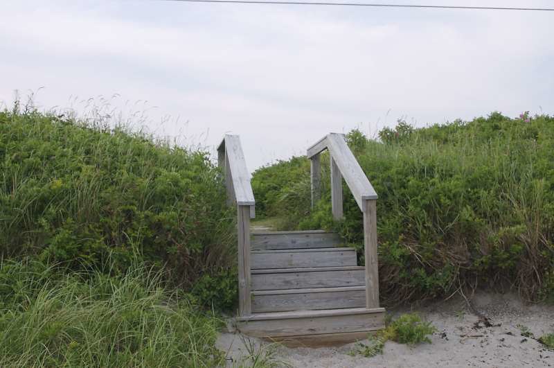
 Photo: Magicpiano, CC BY-SA 3.0 (via Wikimedia Commons)
- 1.0 mi
- round trip
- 555 ft
- climb
- 86 ft
- high point
- Out and back
- route
- May–Oct
- best months
Long Point Trail is an easy out-and-back hike in Maine, about 1.6 miles from the town of Machiasport. The trail is roughly 1.9 miles long, and the round trip climbs about 555 feet, with the steepest stretch coming around 0.4 miles in. The highest point on the route is about 86 feet, and the trail starts at an elevation of about 45 feet. Summer is the most comfortable time to go. Typical averages from the nearby Jonesboro weather station show July and August highs around 76°F, with lows in the mid-50s. Winters are cold, with January highs near 29°F. The trip takes about an hour. For more time on foot, Meserve Head Trail is about 3.8 miles away, and the DeShon Outback Main Trail and Back Loop are about 4.7 miles away. Paddlers can reach the Orange River Water Trail, about 9.6 miles off.
Local outfitters
- Atlantic Climbing School46 mi away
Not on Roamze yet. Their page has how to reach them.
- Meserve Head TrailHiking3.8 mi
- DeShon Outback Main TrailHiking4.7 mi
- DeShon Outback Trail Back LoopHiking4.7 mi
- Red TrailHiking5.1 mi
- Second Woods TrailHiking5.1 mi
- Blue TrailHiking5.1 mi
- Heritage TrailHiking6.1 mi
- Orange River Water TrailCanoeing9.6 mi
Source: Roamze catalog (indexable pages within 10 miles, PostGIS distance)
 Mihill TrailHiking · ~13 min drivePhoto: nightthree, CC BY 2.0 (via Flickr)
 Cutter Loop TrailHiking · ~18 min drivePhoto: zappowbang, CC BY-SA 2.0 (via Flickr)
 Houghton's Hill TrailHiking · ~13 min drivePhoto: nightthree, CC BY 2.0 (via Flickr)
- Black Point Brook Cutoff TrailHiking · ~18 min drivePhoto: zappowbang, CC BY-SA 2.0 (via Flickr)
- Starr TrailHiking · ~14 min drivePhoto: nightthree, CC BY 2.0 (via Flickr)
- Blue TrailHiking · ~9 min drive
- Pond Cove TrailHiking · ~14 min drivePhoto: nightthree, CC BY 2.0 (via Flickr)
- Heritage TrailHiking · ~11 min drive
 South TrailHiking · ~23 min drivePhoto: Roban Kramer, CC BY-SA 2.0 (via Wikimedia Commons)
- Touse Meadow TrailHiking · ~25 min drivePhoto: Roban Kramer, CC BY-SA 2.0 (via Wikimedia Commons)
Best time to visit Long Point Trail
Best months: May–October. Best months have typical highs of 55–85 °F, lows of 30 °F or warmer (32 °F where the station doesn't record snow), at most one snowy day and no more than 12 wet days.
Jan
29° / 9°
10 wet
Feb
32° / 12°
9 wet
Mar
39° / 22°
11 wet
Apr
51° / 32°
10 wet
May
61° / 42°
11 wet
Jun
70° / 51°
11 wet
Jul
76° / 56°
10 wet
Aug
76° / 55°
8 wet
Sep
69° / 48°
8 wet
Oct
57° / 39°
9 wet
Nov
46° / 30°
9 wet
Dec
35° / 19°
11 wet
Typical high / low (°F) and days with rain or snow, 1991–2020. Measured at Jonesboro, ME, 14.3 mi away at 194 ft. This station doesn't record snowfall. Source: NOAA NCEI U.S. Climate Normals 1991–2020.
Map and trail data © OpenStreetMap contributors
