Appalachian Trail
- 1.1 mi
- round trip
- 510 ft
- climb
- 1,203 ft
- high point
- Out and back
- route
- Sep
- best months
Is Appalachian Trail open right now?
Closure in the area
There's a closure order in Appalachian National Scenic Trail. It doesn't name Appalachian Trail, so check the source for the area it covers.
List of trail closures post-Hurricane Helene
Park closure covering Appalachian National Scenic Trail · NPS · Appalachian National Scenic Trail
Black Bears Frequenting the McAfee Knob Area in Virginia
Park alert covering Appalachian National Scenic Trail · NPS · Appalachian National Scenic Trail
As of · Source: NPS · Appalachian National Scenic Trail. Agencies don't list every closure — check before you go.
This is a short, easy section of the Appalachian National Scenic Trail in Maine, managed by the National Park Service. The route is about 2.2 miles long, with a rolling climb that reaches a high point of 1,203 feet and a low of 1,008 feet. The steepest stretch comes at about 0.7 miles, with a grade of 13 percent, and the total gain and loss over the round trip are each about 510 feet. Summer is the most comfortable time to go. Typical averages from a nearby weather station in Greenville run to highs around 75°F in July and 74°F in August, with lows in the mid-50s. Winters are cold, with January highs near 23°F. Lower Wilson Falls Trail is about a mile away, and Base Trail is roughly 1.9 miles off. Peregrine Trail and Summit Trail are each about 2.5 miles away.
Local outfitters
- Northeast Whitewater6 mi away
Not on Roamze yet. Their page has how to reach them.
- Lower Wilson Falls TrailHiking1 mi
- Base TrailHiking1.9 mi
- Peregrine TrailHiking2.5 mi
- Summit TrailHiking2.5 mi
- Fox Pen Loop TrailHiking2.6 mi
- Snake TrailHiking4.1 mi
- Craig's Trail LoopCross-country skiing4.1 mi
- Arthur's LoopCross-country skiing4.2 mi
Source: Roamze catalog (indexable pages within 10 miles, PostGIS distance)
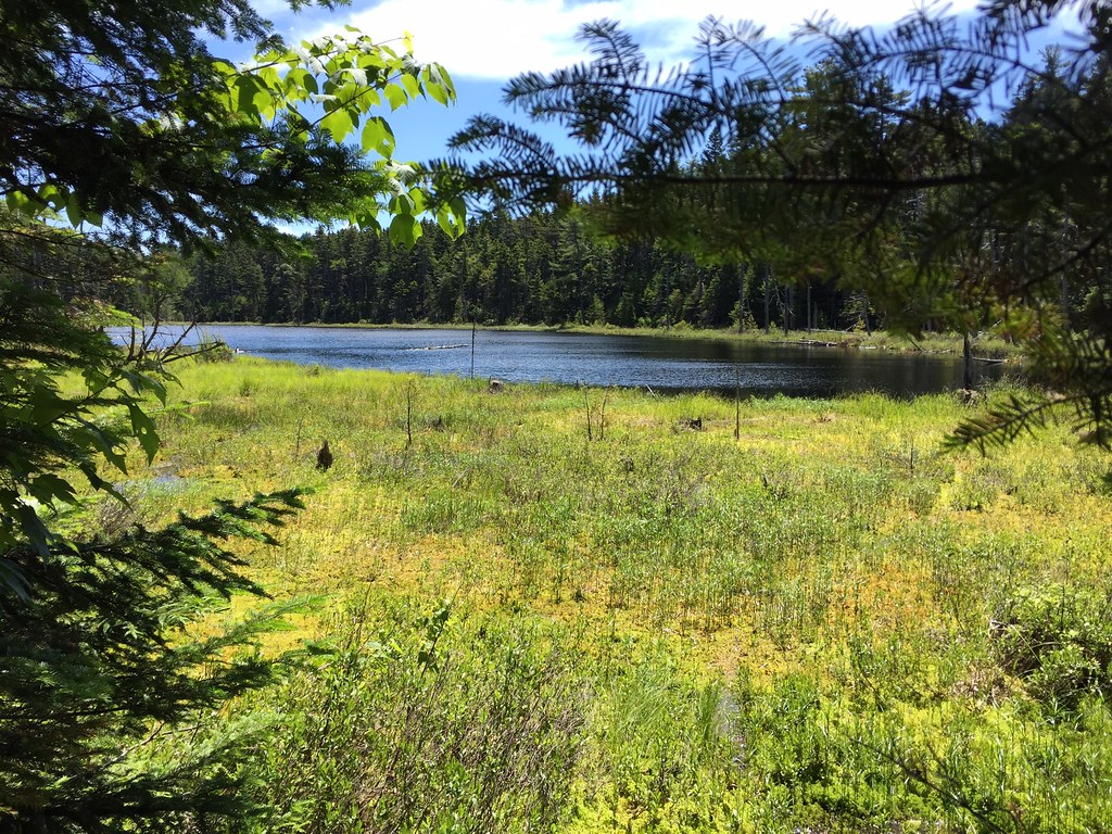 Appalachian TrailHiking · ~2 min drivePhoto: John Hayes (gravelboy), CC BY-SA 2.0 (via Flickr)
- Appalachian TrailHiking · ~2 min drive
- Base TrailHiking · ~3 min drive
- Appalachian TrailHiking · ~4 min drivePhoto: John Hayes (gravelboy), CC BY-SA 2.0 (via Flickr)
- Appalachian TrailHiking · ~7 min drive
- Appalachian TrailHiking · ~8 min drive
- Lower Wilson Falls TrailHiking · ~2 min drive
- Long Pond TrailHiking · ~13 min drive
- Peregrine TrailHiking · ~4 min drive
- Appalachian TrailHiking · ~15 min drive
Best time to visit Appalachian Trail
Best months: September. Best months have typical highs of 55–85 °F, lows of 30 °F or warmer (32 °F where the station doesn't record snow), at most one snowy day and no more than 12 wet days.
Jan
23° / 5°
13 wet
Feb
25° / 7°
12 wet
Mar
34° / 17°
13 wet
Apr
46° / 29°
13 wet
May
62° / 41°
14 wet
Jun
70° / 51°
14 wet
Jul
75° / 57°
15 wet
Aug
74° / 56°
13 wet
Sep
66° / 48°
11 wet
Oct
52° / 37°
13 wet
Nov
39° / 26°
14 wet
Dec
28° / 15°
16 wet
Typical high / low (°F) and days with rain or snow, 1991–2020. Measured at Greenville Maine Forestry Svc, ME, 9.2 mi away at 1,037 ft. This station doesn't record snowfall. Source: NOAA NCEI U.S. Climate Normals 1991–2020.
Map and trail data © OpenStreetMap contributors
