Camp McKee
Campground
Campground · 2.0 mi from the trail
Sage Point is a summit in Kentucky at 1,114 feet elevation. It is reached by the Sage Point Trail, a 1.9-mile trail with 635 feet of elevation gain.
Camp McKee
Campground
 If it rainsSteve Farmer, Public domain · Wikimedia Commons
Local history museum in Winchester, Kentucky
Places © OpenStreetMap contributors, Places © Overture Maps Foundation · Photos: Steve Farmer, Public domain (commons)
More in StantonDaily highs and lows, wind and the chance of precipitation at the summit and route start for the next 7 days, from the Open-Meteo model.
Elevation from USGS 3D Elevation Program terrain data (about 10 m resolution).
1,114 ft (340 m).
One: Sage Point Trail.
 Sage Point TrailHikingPhoto: US Forest Service - Southern Region, Public Domain Mark (via Flickr)0.3 mi
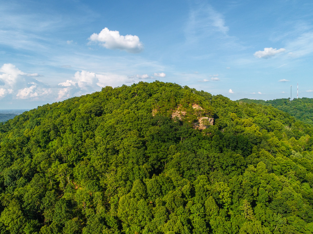 Pilot's Knob State Park TrailHikingPhoto: US Forest Service - Southern Region, Public Domain Mark (via Flickr)0.3 mi
Source: Roamze catalog (indexable pages within 10 miles, PostGIS distance)
Best months: June and August–November. Best months have typical highs of 55–85 °F, lows of 30 °F or warmer (32 °F where the station doesn't record snow), at most one snowy day and no more than 12 wet days.
Jan
42° / 23°
13 wet
Feb
47° / 26°
13 wet
Mar
56° / 33°
14 wet
Apr
67° / 42°
13 wet
May
75° / 52°
13 wet
Jun
82° / 60°
12 wet
Jul
84° / 64°
13 wet
Aug
83° / 63°
11 wet
Sep
79° / 56°
9 wet
Oct
69° / 43°
11 wet
Nov
57° / 34°
11 wet
Dec
46° / 28°
13 wet
Typical high / low (°F) and days with rain or snow, 1991–2020. Measured at Stanton 2w, KY, 4.1 mi away at 720 ft. This station doesn't record snowfall. Source: NOAA NCEI U.S. Climate Normals 1991–2020.
