Camp McKee
Campground
Campground · 5.5 mi from the trail
Clear at last check
Weather is good · OpenWeather · checked 19 h ago
Beech Fork Reservoir is a boat launch in Kentucky, about 2 miles from the town of Clay City. It gives boaters a put-in on the reservoir close to town. For comfortable conditions, early fall stands out: September averages highs near 79°F and lows around 56°F with the fewest wet days of the year, about nine, according to typical averages from a nearby weather station. Late spring is also mild, with May highs around 75°F. Hikers looking to pair a day on the water with time on foot can head to Sage Point Trail, about 4 miles away, or Pilot's Knob State Park Trail, roughly 4.3 miles from the launch.
Camp McKee
Campground
Wilcy's Pizza
Pizza restaurant
 If it rainsSteve Farmer, Public domain · Wikimedia Commons
Local history museum in Winchester, Kentucky
Places © OpenStreetMap contributors, Places © Overture Maps Foundation · Photos: Steve Farmer, Public domain (commons)
More in Stanton Sage Point TrailHikingPhoto: US Forest Service - Southern Region, Public Domain Mark (via Flickr)4 mi
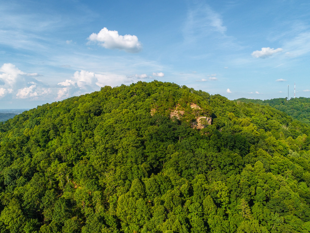 Pilot's Knob State Park TrailHikingPhoto: US Forest Service - Southern Region, Public Domain Mark (via Flickr)4.3 mi
Source: Roamze catalog (indexable pages within 10 miles, PostGIS distance)
Also worth it near here
Sage Point TrailHiking · ~7 min drivePhoto: US Forest Service - Southern Region, Public Domain Mark (via Flickr)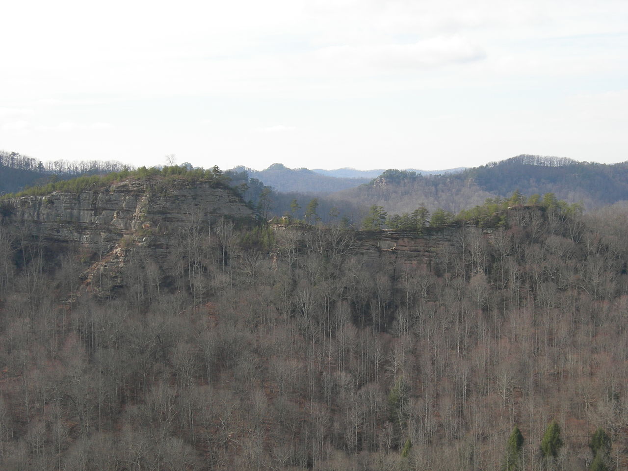 Double ArchNatural arch · ~20 min drivePhoto: Kyryc at English Wikipedia, CC BY-SA 3.0 (via Wikimedia Commons)
Best months: June and August–November. Best months have typical highs of 55–85 °F, lows of 30 °F or warmer (32 °F where the station doesn't record snow), at most one snowy day and no more than 12 wet days.
Jan
42° / 23°
13 wet
Feb
47° / 26°
13 wet
Mar
56° / 33°
14 wet
Apr
67° / 42°
13 wet
May
75° / 52°
13 wet
Jun
82° / 60°
12 wet
Jul
84° / 64°
13 wet
Aug
83° / 63°
11 wet
Sep
79° / 56°
9 wet
Oct
69° / 43°
11 wet
Nov
57° / 34°
11 wet
Dec
46° / 28°
13 wet
Typical high / low (°F) and days with rain or snow, 1991–2020. Measured at Stanton 2w, KY, 0.3 mi away at 720 ft. This station doesn't record snowfall. Source: NOAA NCEI U.S. Climate Normals 1991–2020.
Map and trail data © OpenStreetMap contributors
