Thelma Stovall Park Walking Track
- 0.7 mi
- loop
- 161 ft
- climb
- 564 ft
- high point
- Loop
- route
- Mar–Jun, Sep–Nov
- best months
Thelma Stovall Park Walking Track is a short loop in Thelma Stovall Park in Kentucky, a city-managed park on land owned by the city. The trail is easy and sits close to 0.7 miles long, with a total elevation gain and loss of about 160 feet, so it works as a quick outing or a warm-up before a longer day in the park. The walk is a loop, and the climb is front-loaded. The steepest stretch comes at about 0.1 mile into the route, where the grade reaches about 9 percent, and the track peaks at roughly 564 feet before returning to its starting elevation of about 484 feet. Fall is a comfortable time to visit. Typical averages from a nearby weather station in Millerstown show October highs around 70°F and lows near 42°F, with fewer wet days than spring. For more time outdoors, Bacon Creek offers canoeing about 8 miles away, and the White Oak Trail is a hike roughly 10 miles off.
Source: Roamze catalog (indexable pages within 10 miles, PostGIS distance)
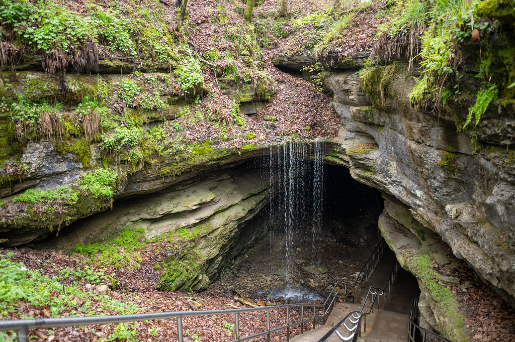 Sinkhole TrailHiking · ~23 min drivePhoto: xiquinhosilva, CC BY 2.0 (via Flickr)
 Lakeshore Bluff TrailHiking · ~31 min drivePhoto: Ken Crawford, U.S. Army Corps of Engineers, Public domain (via Wikimedia Commons)
- Raymer Hollow TrailHiking · ~26 min drive
- Heritage TrailHiking · ~23 min drivePhoto: xiquinhosilva, CC BY 2.0 (via Flickr)
- Green River Bluffs TrailHiking · ~22 min drive
- Buffalo Creek TrailHiking · ~28 min drive
 Big Hollow Trail North LoopHiking · ~23 min drivePhoto: Huw Williams (Huwmanbeing), Public domain (via Wikimedia Commons)
- Mammoth Cave Railroad Bike and Hike TrailHiking · ~22 min drive
- Sal Hollow TrailHiking · ~28 min drive
- Sunset Point TrailHiking · ~23 min drivePhoto: xiquinhosilva, CC BY 2.0 (via Flickr)
Best time to visit Thelma Stovall Park Walking Track
Best months: March–June and September–November. Best months have typical highs of 55–85 °F, lows of 30 °F or warmer (32 °F where the station doesn't record snow), at most one snowy day and no more than 12 wet days.
Jan
43° / 23°
11 wet
Feb
47° / 24°
10 wet
Mar
56° / 32°
11 wet
Apr
68° / 41°
11 wet
May
76° / 51°
12 wet
Jun
83° / 61°
10 wet
Jul
86° / 65°
10 wet
Aug
86° / 62°
8 wet
Sep
80° / 55°
7 wet
Oct
70° / 42°
9 wet
Nov
57° / 32°
9 wet
Dec
47° / 27°
11 wet
Typical high / low (°F) and days with rain or snow, 1991–2020. Measured at Millerstown 4e, KY, 13.2 mi away at 600 ft. This station doesn't record snowfall. Source: NOAA NCEI U.S. Climate Normals 1991–2020.

Map and trail data © OpenStreetMap contributors
