Big Hollow Trail North Loop
 Photo: Huw Williams (Huwmanbeing), Public domain (via Wikimedia Commons)
- 4.5 mi
- loop
- 434 ft
- climb
- 861 ft
- high point
- Loop
- route
- Mar–May, Sep–Nov
- best months
Is Big Hollow Trail North Loop open right now?
Closure in the area
There's a closure order in Mammoth Cave National Park. It doesn't name Big Hollow Trail North Loop, so check the source for the area it covers.
Elevator for Accessible Tour Out of Service
Park closure covering Mammoth Cave National Park · NPS · Mammoth Cave National Park
As of · Source: NPS · Mammoth Cave National Park. Agencies don't list every closure — check before you go.
Big Hollow Trail North Loop is a 4.5-mile loop in Mammoth Cave National Park in Kentucky, managed by the National Park Service. The trail starts and ends at about 808 feet, with a high point of 861 feet and a total elevation gain of 434 feet. The climb is gentle, with the steepest stretch at about 3.4 miles, where the grade reaches 5 percent. Spring and fall are the most comfortable times to go. Typical averages from a nearby weather station at Mammoth Cave show October highs around 74°F with lows near 49°F, and April highs around 73°F. July is the warmest month, with highs near 91°F. The loop takes about 1.5 hours to complete. Maple Springs campground is less than a mile away, and the Green River offers fishing about a mile off. Mill Branch Trail and the Maple Springs Connector Trail are both within about a mile.
- Maple SpringsCamping0.9 mi
- Green RiverRiver fishing1 mi
- Mill Branch TrailHiking1.1 mi
- Maple Springs Connector TrailHiking1.2 mi
- Mammoth Cave CampgroundCamping1.7 mi
- Dismal RockRock climbing8.8 mi
- Turkey FootRock climbing8.9 mi
- Nolin River LakeLake fishing9.6 mi
Source: Roamze catalog (indexable pages within 10 miles, PostGIS distance)
 Big Hollow Trail South Loop ConnectorHiking · ~1 min drivePhoto: Bas van Oorschot, CC BY-SA 3.0 (via Wikimedia Commons)
 Lakeshore Bluff TrailHiking · ~15 min drivePhoto: Ken Crawford, U.S. Army Corps of Engineers, Public domain (via Wikimedia Commons)
- Raymer Hollow TrailHiking · ~3 min drive
- River Styx Spring TrailHiking · ~2 min drivePhoto: Huw Williams (Huwmanbeing), Public domain (via Wikimedia Commons)
- Mill Branch TrailHiking · ~2 min drive
- Buffalo Creek TrailHiking · ~5 min drive
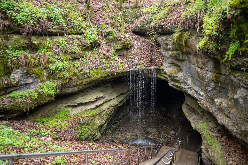 Sunset Point TrailHiking · ~2 min drivePhoto: xiquinhosilva, CC BY 2.0 (via Flickr)
- Green River Bluffs TrailHiking · ~2 min drive
- Sal Hollow TrailHiking · ~5 min drive
- Heritage TrailHiking · ~2 min drivePhoto: xiquinhosilva, CC BY 2.0 (via Flickr)
Best time to visit Big Hollow Trail North Loop
Best months: March–May and September–November. Best months have typical highs of 55–85 °F, lows of 30 °F or warmer (32 °F where the station doesn't record snow), at most one snowy day and no more than 12 wet days.
Jan
48° / 29°
12 wet
Feb
53° / 32°
11 wet
Mar
62° / 39°
12 wet
Apr
73° / 48°
12 wet
May
81° / 57°
12 wet
Jun
88° / 64°
12 wet
Jul
91° / 68°
11 wet
Aug
90° / 67°
9 wet
Sep
85° / 60°
8 wet
Oct
74° / 49°
9 wet
Nov
61° / 40°
10 wet
Dec
51° / 33°
12 wet
Typical high / low (°F) and days with rain or snow, 1991–2020. Measured at Mammoth Cave, KY, 5.3 mi away at 760 ft. This station doesn't record snowfall. Source: NOAA NCEI U.S. Climate Normals 1991–2020.

Map and trail data © OpenStreetMap contributors
