Koomer Ridge Campground
Campground
The next 6 weekends are full on Recreation.gov
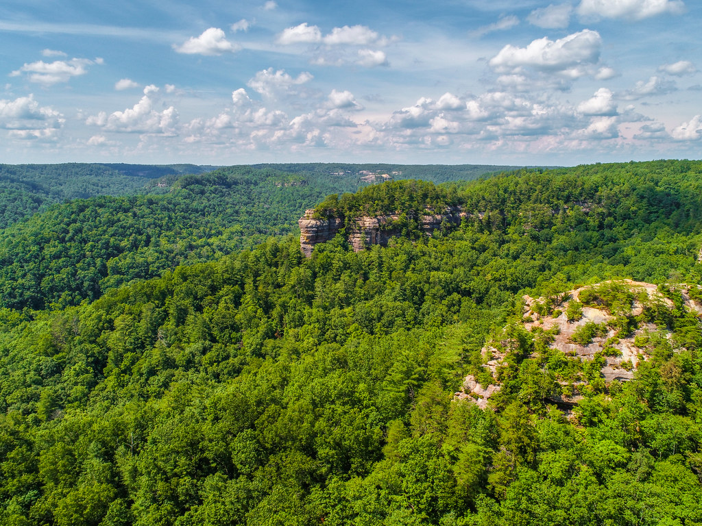 Photo: US Forest Service - Southern Region, Public Domain Mark (via Flickr)
Closure in the area
There's a closure order in Daniel Boone National Forest. It doesn't name Sheltowee Trace #100/Rough Trail #221, so check the source for the area it covers (2 listed).
National Visitor Use Monitoring, Oct 2026-Sept 2027
Agency closure covering Daniel Boone National Forest · USFS · Daniel Boone National Forest
Scott Creek Boat ramp briefly inaccessible, July 30
Agency closure covering Daniel Boone National Forest · USFS · Daniel Boone National Forest
Low water levels at Laurel River Lake
Agency alert covering Daniel Boone National Forest · USFS · Daniel Boone National Forest
Active logging operations near Redbird Crest Trail Sections 17-19
Agency alert covering Daniel Boone National Forest · USFS · Daniel Boone National Forest
Cliffside Trail #519 Closure
Agency alert covering Daniel Boone National Forest · USFS · Daniel Boone National Forest
As of · Source: USFS · Daniel Boone National Forest. Agencies don't list every closure — check before you go.
Sheltowee Trace #100/Rough Trail #221 is an easy, out-and-back hike of about 2.4 miles in the Cumberland Ranger District of Daniel Boone National Forest in Kentucky. The trail starts and ends at about 1,208 feet, rising to a high point of 1,208 feet and then descending to 827 feet before returning. It is managed by the Forest Service. The route is short and gentle, with an elevation gain of about 232 feet one way. The steepest stretch comes at about 0.7 miles in, with a grade of 16%. The whole trip takes about an hour. The most comfortable stretch is late spring or early fall. Typical averages from a nearby weather station in Beattyville show May highs around 75°F and September highs around 79°F, with fewer wet days in September than in May. The trail sits right alongside Sheltowee Trace Trail #100 and Hanson's Point Trail, each about 0.1 mile away. Buck Trail #226 lies 0.3 mile off, and the Princess Arch climbing area is about 1.5 miles away.
Koomer Ridge Campground
Campground
Wolfe County Cooperative Extension Service
Museum
Places © OpenStreetMap contributors
More in StantonNot on Roamze yet. Their page has how to reach them.
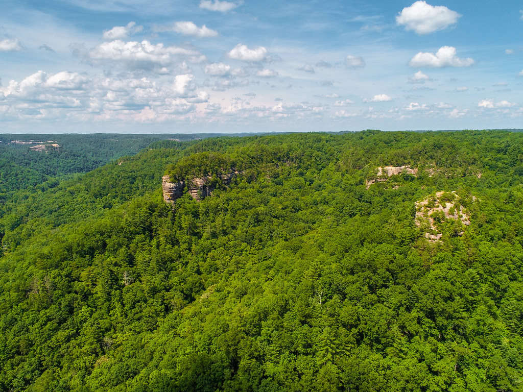 Sheltowee Trace Trail #100HikingPhoto: US Forest Service - Southern Region, Public Domain Mark (via Flickr)0.1 miHanson's Point TrailHikingPhoto: US Forest Service - Southern Region, Public Domain Mark (via Flickr)0.1 miBuck Trail #226HikingPhoto: US Forest Service - Southern Region, Public Domain Mark (via Flickr)0.3 mi
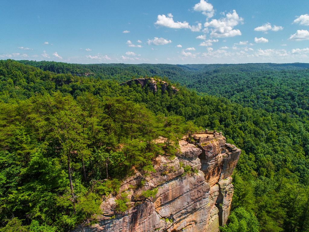 Princess ArchRock climbingPhoto: US Forest Service - Southern Region, Public Domain Mark (via Flickr)1.5 mi
 Menifee County Dispersed Rec. SitesCampingPhoto: Jarek Tuszyński (user:Jarekt), CC BY 3.0 (via Wikimedia Commons)3.4 mi
Source: Roamze catalog (indexable pages within 10 miles, PostGIS distance)
Hanson's Point TrailHiking · Next doorPhoto: US Forest Service - Southern Region, Public Domain Mark (via Flickr)Buck Trail #226Hiking · Next doorPhoto: US Forest Service - Southern Region, Public Domain Mark (via Flickr)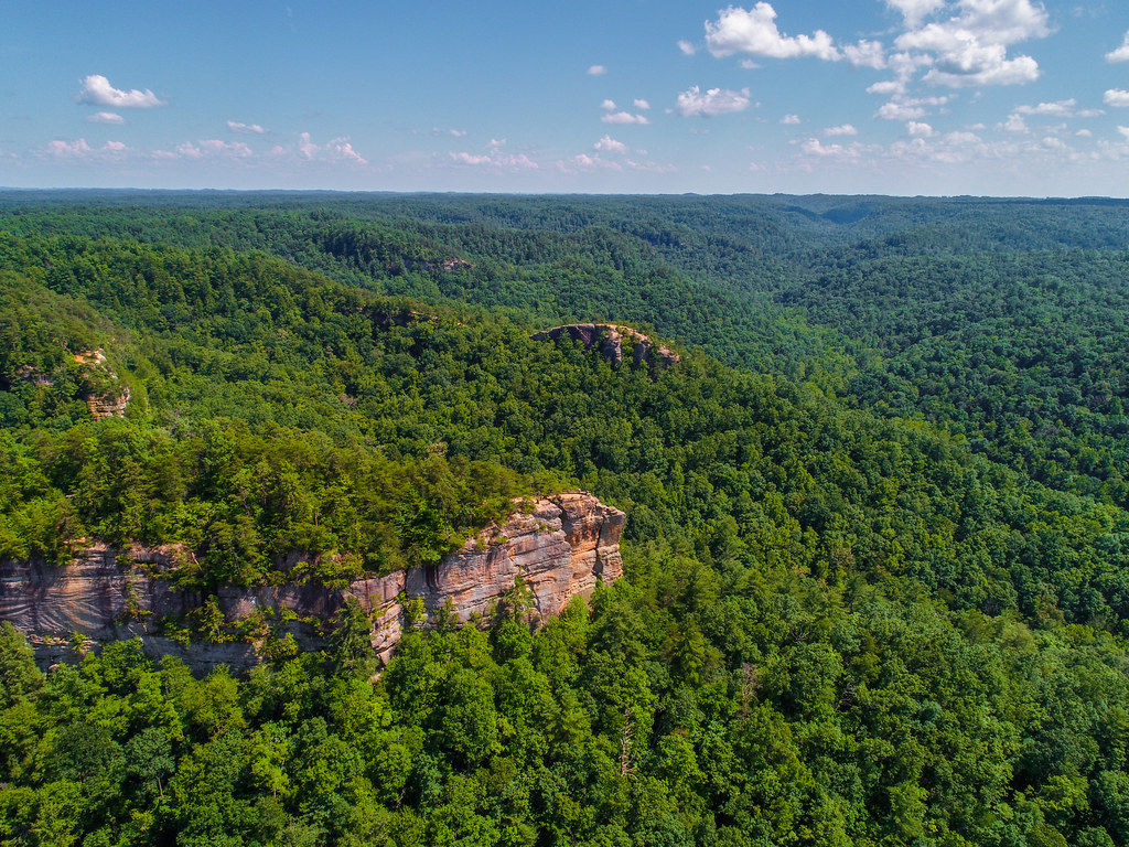 Sheltowee Trace NRT #100Hiking · ~2 min drivePhoto: US Forest Service - Southern Region, Public Domain Mark (via Flickr)
 Rush Ridge Trail #227Hiking · ~2 min drivePhoto: Beeblebrox, CC BY-SA 3.0 (via Wikimedia Commons)
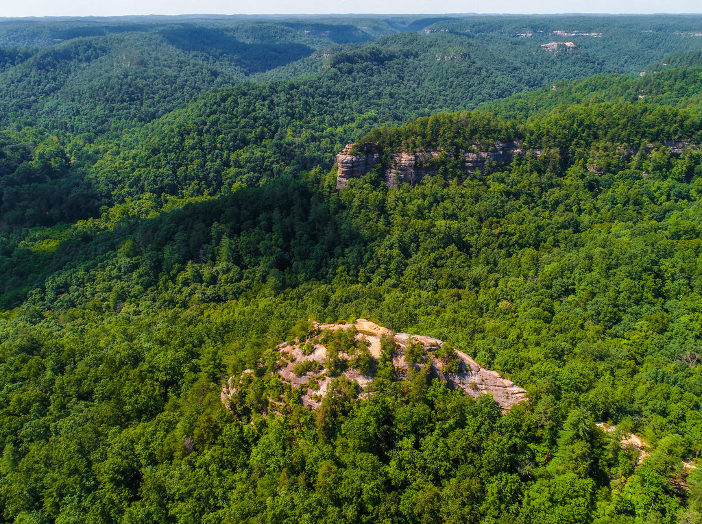 Sheltowee Trace Trail #100Hiking · ~1 min drivePhoto: US Forest Service - Southern Region, Public Domain Mark (via Flickr)
 RUSH RIDGEHiking · ~2 min drivePhoto: pmuellr, CC BY 2.0 (via Flickr)Koomer Ridge Trail #220Hiking · ~2 min drivePhoto: US Forest Service - Southern Region, Public Domain Mark (via Flickr)
 Sheltowee Connector Trail #211Hiking · ~2 min drivePhoto: US Forest Service - Southern Region, Public Domain Mark (via Flickr)
 Sheltowee Trace Trail #100Hiking · ~4 min drivePhoto: enn-here, CC BY 2.0 (via Flickr)
Also worth it near here
Pinch-em Tight RidgeRock climbing · ~1 min drivePhoto: US Forest Service - Southern Region, Public Domain Mark (via Flickr)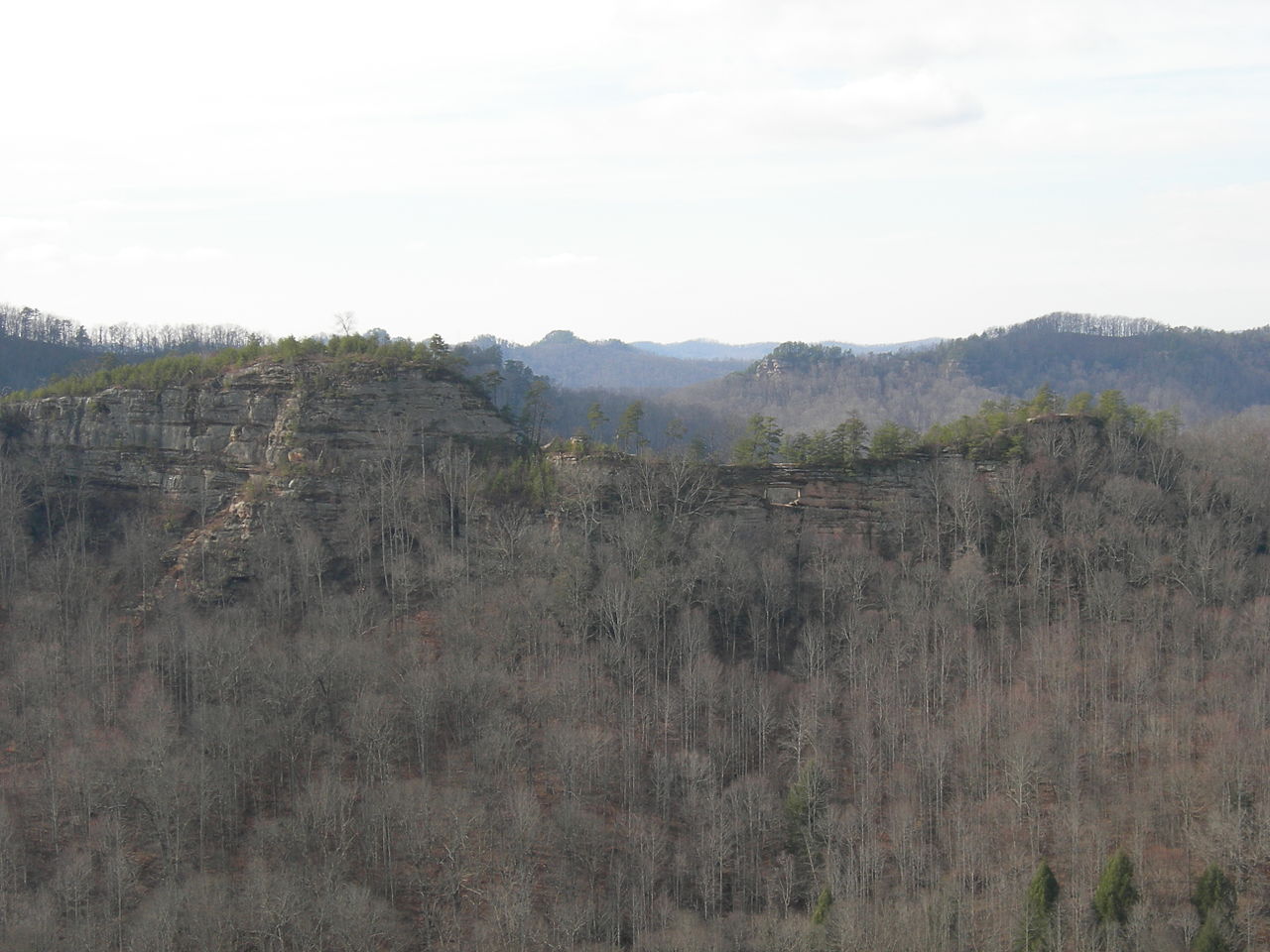 Double ArchNatural arch · ~5 min drivePhoto: Kyryc at English Wikipedia, CC BY-SA 3.0 (via Wikimedia Commons)
Best months: August–November. Best months have typical highs of 55–85 °F, lows of 30 °F or warmer (32 °F where the station doesn't record snow), at most one snowy day and no more than 12 wet days.
Jan
42° / 24°
13 wet
Feb
47° / 27°
13 wet
Mar
57° / 34°
15 wet
Apr
68° / 44°
15 wet
May
75° / 53°
15 wet
Jun
82° / 61°
14 wet
Jul
84° / 65°
14 wet
Aug
84° / 64°
12 wet
Sep
79° / 57°
10 wet
Oct
69° / 44°
12 wet
Nov
57° / 35°
12 wet
Dec
46° / 28°
13 wet
Typical high / low (°F) and days with rain or snow, 1991–2020. Measured at Beattyville 4n, KY, 13 mi away at 1,080 ft. This station doesn't record snowfall. Source: NOAA NCEI U.S. Climate Normals 1991–2020.
Map and trail data © OpenStreetMap contributors
