Wolfe County Dispersed Rec. Sites
Campground
Campground · 3.0 mi from the trail
Closure in the area
There's a closure order in Daniel Boone National Forest. It doesn't name Osbourne Bend Loop Trail #240, so check the source for the area it covers (2 listed).
National Visitor Use Monitoring, Oct 2026-Sept 2027
Agency closure covering Daniel Boone National Forest · USFS · Daniel Boone National Forest
Scott Creek Boat ramp briefly inaccessible, July 30
Agency closure covering Daniel Boone National Forest · USFS · Daniel Boone National Forest
Low water levels at Laurel River Lake
Agency alert covering Daniel Boone National Forest · USFS · Daniel Boone National Forest
Active logging operations near Redbird Crest Trail Sections 17-19
Agency alert covering Daniel Boone National Forest · USFS · Daniel Boone National Forest
Cliffside Trail #519 Closure
Agency alert covering Daniel Boone National Forest · USFS · Daniel Boone National Forest
As of · Source: USFS · Daniel Boone National Forest. Agencies don't list every closure — check before you go.
Osbourne Bend Loop Trail #240 is a hard hike in the Cumberland Ranger District of Daniel Boone National Forest in Kentucky, managed by the Forest Service. The trail is an out-and-back route of about 13 miles, with a one-way climb of roughly 940 feet. The total round-trip gain is about 1,880 feet, and the steepest stretch comes within the first half mile, where the grade reaches about 30%. Spring and fall are the most comfortable times to go. Typical averages from a nearby weather station in Beattyville show October highs around 69°F with lows near 44°F, and May highs around 75°F. That station sits a few hundred feet lower than the trail's low point, so temperatures on the route run slightly cooler. Tower Rock and the Tower Rock Trail #229 are both about 0.2 miles away, and the Sky Bridge hike is about a mile off. For an overnight stay, Menifee County Dispersed Rec. Sites are about 3.5 miles away.
Wolfe County Dispersed Rec. Sites
Campground
Wolfe County Cooperative Extension Service
Museum
Places © OpenStreetMap contributors
More in StantonNot on Roamze yet. Their page has how to reach them.
 Sky BridgeHikingPhoto: US Forest Service - Southern Region, Public Domain Mark (via Flickr)1 mi
 Menifee County Dispersed Rec. SitesCampingPhoto: Jarek Tuszyński (user:Jarekt), CC BY 3.0 (via Wikimedia Commons)3.5 miIndian Creek Camping AreaCampingPhoto: Jarek Tuszyński (user:Jarekt), CC BY 3.0 (via Wikimedia Commons)4.8 mi
Source: Roamze catalog (indexable pages within 10 miles, PostGIS distance)
 Half Moon Arch TrailHiking · ~2 min drivePhoto: US Forest Service - Southern Region, Public Domain Mark (via Flickr)
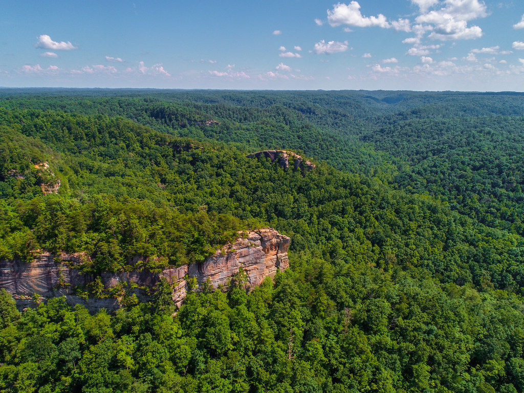 Sheltowee Trace NRT #100Hiking · ~3 min drivePhoto: US Forest Service - Southern Region, Public Domain Mark (via Flickr)
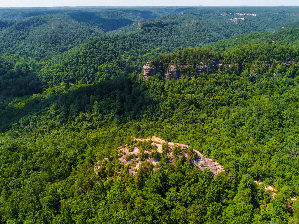 Sheltowee Trace Trail #100Hiking · ~3 min drivePhoto: US Forest Service - Southern Region, Public Domain Mark (via Flickr)Swift Camp TrailHiking · ~2 min drivePhoto: US Forest Service - Southern Region, Public Domain Mark (via Flickr)Koomer Ridge Trail #220Hiking · ~3 min drivePhoto: US Forest Service - Southern Region, Public Domain Mark (via Flickr)Princess Arch Trail #233Hiking · ~2 min drivePhoto: US Forest Service - Southern Region, Public Domain Mark (via Flickr)
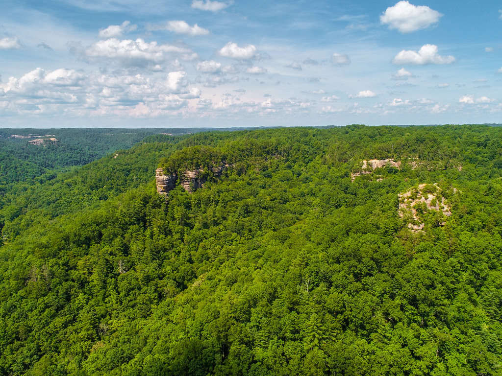 Buck Trail #226Hiking · ~5 min drivePhoto: US Forest Service - Southern Region, Public Domain Mark (via Flickr)
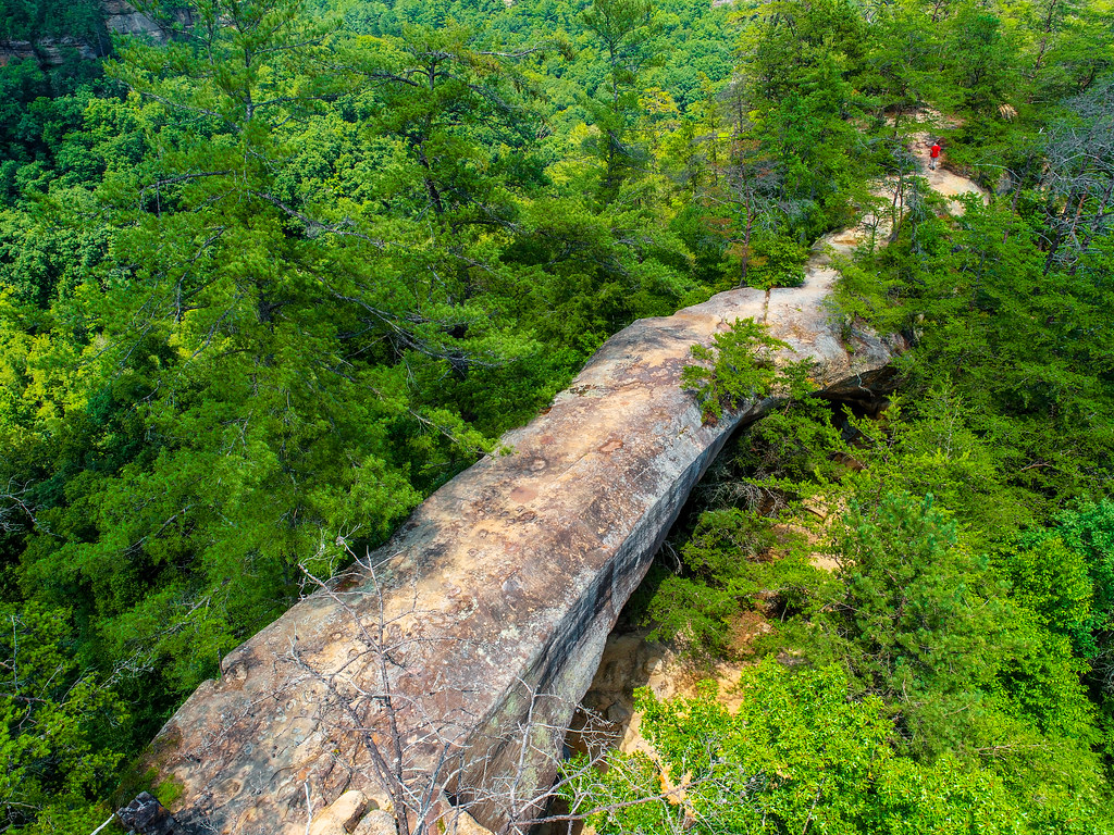 OSBORNE BEND LOOPHiking · ~2 min drivePhoto: US Forest Service - Southern Region, Public Domain Mark (via Flickr)
 Rough Trail #221Hiking · ~6 min drivePhoto: pmuellr, CC BY 2.0 (via Flickr)
 Sheltowee Connector Trail #211Hiking · ~3 min drivePhoto: US Forest Service - Southern Region, Public Domain Mark (via Flickr)
Also worth it near here
 Buzzard's RoostRock climbing · ~1 min drivePhoto: US Forest Service - Southern Region, Public Domain Mark (via Flickr)Menifee County Dispersed Rec. SitesCamping · ~6 min drivePhoto: Jarek Tuszyński (user:Jarekt), CC BY 3.0 (via Wikimedia Commons)
Best months: August–November. Best months have typical highs of 55–85 °F, lows of 30 °F or warmer (32 °F where the station doesn't record snow), at most one snowy day and no more than 12 wet days.
Jan
42° / 24°
13 wet
Feb
47° / 27°
13 wet
Mar
57° / 34°
15 wet
Apr
68° / 44°
15 wet
May
75° / 53°
15 wet
Jun
82° / 61°
14 wet
Jul
84° / 65°
14 wet
Aug
84° / 64°
12 wet
Sep
79° / 57°
10 wet
Oct
69° / 44°
12 wet
Nov
57° / 35°
12 wet
Dec
46° / 28°
13 wet
Typical high / low (°F) and days with rain or snow, 1991–2020. Measured at Beattyville 4n, KY, 14.8 mi away at 1,080 ft. This station doesn't record snowfall. Source: NOAA NCEI U.S. Climate Normals 1991–2020.
Map and trail data © OpenStreetMap contributors
