Kentucky Trail
- 0.7 mi
- round trip
- 475 ft
- climb
- 1,214 ft
- high point
- Out and back
- route
- Mar–Nov
- best months
Is Kentucky Trail open right now?
Closure in the area
There's a closure order in Daniel Boone National Forest. It doesn't name Kentucky Trail, so check the source for the area it covers (2 listed).
National Visitor Use Monitoring, Oct 2026-Sept 2027
Agency closure covering Daniel Boone National Forest · USFS · Daniel Boone National Forest
Scott Creek Boat ramp briefly inaccessible, July 30
Agency closure covering Daniel Boone National Forest · USFS · Daniel Boone National Forest
Low water levels at Laurel River Lake
Agency alert covering Daniel Boone National Forest · USFS · Daniel Boone National Forest
Active logging operations near Redbird Crest Trail Sections 17-19
Agency alert covering Daniel Boone National Forest · USFS · Daniel Boone National Forest
Cliffside Trail #519 Closure
Agency alert covering Daniel Boone National Forest · USFS · Daniel Boone National Forest
As of · Source: USFS · Daniel Boone National Forest. Agencies don't list every closure — check before you go.
Kentucky Trail is an easy out-and-back hike on the Forest Service's Stearns Ranger District of Daniel Boone National Forest in Kentucky. The route is about 1.3 miles long, with a steady climb to a high point of 1,214 feet. It starts at that high point, then descends to a low of 957 feet before returning, for a total elevation gain and loss of about 475 feet each way. The steepest stretch, with a grade of 17%, comes at about 0.43 miles in. Spring and fall are the most comfortable seasons. Typical averages from a nearby weather station run highs near 69°F in both April and October, while July and August average highs around 85°F. The station sits at nearly the same elevation as the trail's high point. The trip takes about half an hour, and the trail makes an easy addition to a longer day in the area. Sheltowee Trace Trail lies about half a mile away, and Koger Arch Trail is roughly a mile off. Climbers can head to Springfield, about 1.7 miles away, and Blue Heron Campground is about 2 miles out.
- Sheltowee Trace TrailHiking0.5 mi
- Koger Arch TrailHiking1 mi
- Beech Grove RoadHiking1.6 mi
- SpringfieldRock climbing1.7 mi
- Upstream RoutesRock climbing1.9 mi
- Downstream AreaRock climbing1.9 mi
- Blue Heron CampgroundCamping2 mi
 Table Rock Camping AreaCampingPhoto: NPS staff, Public domain (via Wikimedia Commons)2.9 mi
Source: Roamze catalog (indexable pages within 10 miles, PostGIS distance)
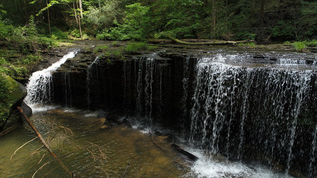 Lick Creek Falls Trail 631AHiking · ~5 min drivePhoto: US Forest Service - Southern Region, Public Domain Mark (via Flickr)
 Negro Creek Trail 612Hiking · ~5 min drivePhoto: US Forest Service - Southern Region, Public Domain Mark (via Flickr)
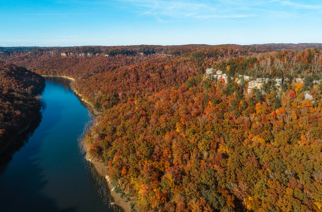 Sheltowee Trace TrailHiking · ~11 min drivePhoto: US Forest Service - Southern Region, Public Domain Mark (via Flickr)
- LICK CREEKHiking · ~5 min drivePhoto: US Forest Service - Southern Region, Public Domain Mark (via Flickr)
 Sheltowee Trace TrailHiking · ~9 min drivePhoto: fiforms, CC BY-SA 2.0 (via Flickr)
- Sheltowee Trace TrailHiking · ~8 min drive
- Markers ArchHiking · ~8 min drivePhoto: fiforms, CC BY-SA 2.0 (via Flickr)
- Sheltowee Trace TrailHiking · Next door
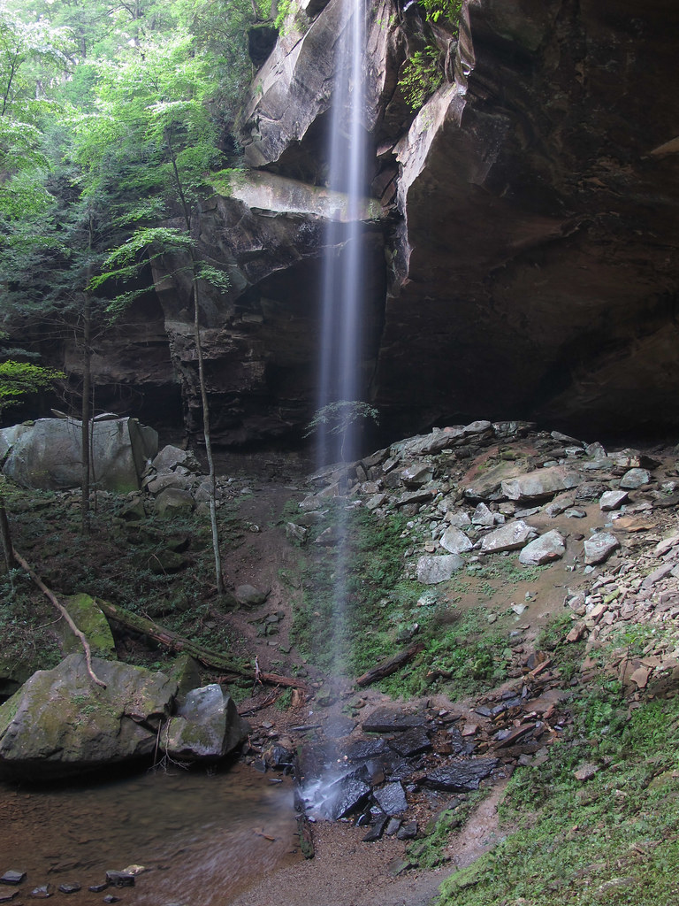 Yahoo Overlook TrailHiking · ~9 min drivePhoto: pmuellr, CC BY 2.0 (via Flickr)
- Beech Grove RoadHiking · ~3 min drive
Best time to visit Kentucky Trail
Best months: March–November. Best months have typical highs of 55–85 °F, lows of 30 °F or warmer (32 °F where the station doesn't record snow), at most one snowy day and no more than 12 wet days.
Jan
45° / 24°
11 wet
Feb
49° / 26°
10 wet
Mar
59° / 33°
10 wet
Apr
69° / 41°
10 wet
May
77° / 51°
11 wet
Jun
82° / 59°
10 wet
Jul
85° / 63°
10 wet
Aug
85° / 62°
8 wet
Sep
79° / 54°
7 wet
Oct
69° / 41°
8 wet
Nov
57° / 32°
8 wet
Dec
48° / 27°
11 wet
Typical high / low (°F) and days with rain or snow, 1991–2020. Measured at Stearns 2s, KY, 4 mi away at 1,220 ft. This station doesn't record snowfall. Source: NOAA NCEI U.S. Climate Normals 1991–2020.

Map and trail data © OpenStreetMap contributors
