Natural Arch
- 1,140 ft
- elevation
- Mar–Nov
- best months
Is Natural Arch open right now?
Closure in the area
There's a closure order in Daniel Boone National Forest. It doesn't name Natural Arch, so check the source for the area it covers (2 listed).
National Visitor Use Monitoring, Oct 2026-Sept 2027
Agency closure covering Daniel Boone National Forest · USFS · Daniel Boone National Forest
Scott Creek Boat ramp briefly inaccessible, July 30
Agency closure covering Daniel Boone National Forest · USFS · Daniel Boone National Forest
Low water levels at Laurel River Lake
Agency alert covering Daniel Boone National Forest · USFS · Daniel Boone National Forest
Active logging operations near Redbird Crest Trail Sections 17-19
Agency alert covering Daniel Boone National Forest · USFS · Daniel Boone National Forest
Cliffside Trail #519 Closure
Agency alert covering Daniel Boone National Forest · USFS · Daniel Boone National Forest
As of · Source: USFS · Daniel Boone National Forest. Agencies don't list every closure — check before you go.
Natural Arch is a natural arch in the Stearns Ranger District of Daniel Boone National Forest in Kentucky, about 9 miles from the town of Whitley City. It sits at roughly 1,140 feet of elevation. Fall is the most comfortable time to visit. Typical averages from a nearby weather station show October highs around 69°F with lows near 41°F, and September and October bring the fewest wet days of the year. The arch sits right beside Buffalo Canyon, and the Buffalo Canyon Loop Trail #508 is about half a mile away. The Panoramic Trail is about a mile off, and the Sheltowee Trace Trail lies roughly 4 miles away.
- Elevation
- 1,140 ft
Elevation from USGS 3D Elevation Program terrain data (about 10 m resolution).
 BUFFALO CANYONHikingPhoto: US Forest Service - Southern Region, Public Domain Mark (via Flickr)0.1 mi
 Buffalo Canyon Loop Trail #508HikingPhoto: US Forest Service - Southern Region, Public Domain Mark (via Flickr)0.4 mi
- Panoramic TrailHikingPhoto: US Forest Service - Southern Region, Public Domain Mark (via Flickr)1.1 mi
- Middle Ridge Trail #518 (APPROXIMATE)Hiking2.3 mi
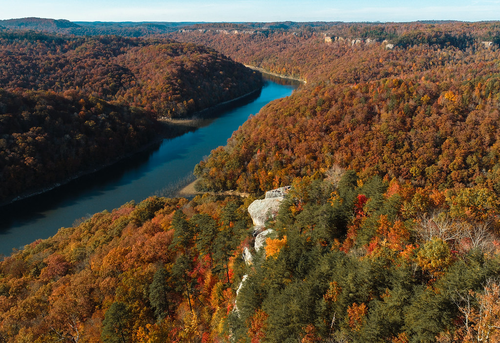 Buzzard Rock TrailHikingPhoto: US Forest Service - Southern Region, Public Domain Mark (via Flickr)3.4 mi
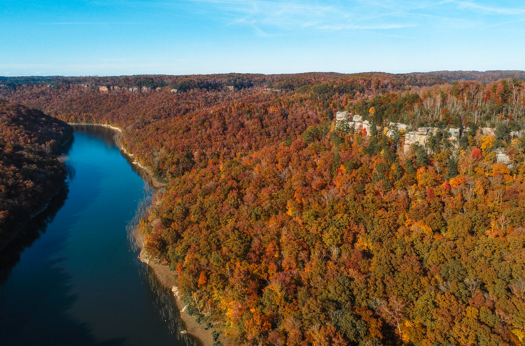 Sheltowee Trace TrailHikingPhoto: US Forest Service - Southern Region, Public Domain Mark (via Flickr)4 mi
- Sheltowee Trace Trail 100Hiking4.5 mi
- Lake Cumberland - StearnsLake fishing7.7 mi
Source: Roamze catalog (indexable pages within 10 miles, PostGIS distance)
- Twin ArchesNatural arch · ~42 min drive
- Natural BridgeNatural arch · ~1h 4m drive
- Rock House Natural BridgeNatural arch · ~1h 9m drive
- Burnt BridgeNatural arch · ~1h 25m drive
- Natural BridgeNatural arch · ~21 min drive
Also worth it near here
- Buffalo Canyon Loop TrailHiking · Next doorPhoto: US Forest Service - Southern Region, Public Domain Mark (via Flickr)
- Cave Creek Boat RampBoat launch · ~14 min drive
 Cumberland FallsWaterfall · ~16 min drivePhoto: ChrisKuehl, Public domain (via Wikimedia Commons)
- General Burnside Island State ParkLake fishing · ~18 min drive
Best time to visit Natural Arch
Best months: March–November. Best months have typical highs of 55–85 °F, lows of 30 °F or warmer (32 °F where the station doesn't record snow), at most one snowy day and no more than 12 wet days.
Jan
45° / 24°
11 wet
Feb
49° / 26°
10 wet
Mar
59° / 33°
10 wet
Apr
69° / 41°
10 wet
May
77° / 51°
11 wet
Jun
82° / 59°
10 wet
Jul
85° / 63°
10 wet
Aug
85° / 62°
8 wet
Sep
79° / 54°
7 wet
Oct
69° / 41°
8 wet
Nov
57° / 32°
8 wet
Dec
48° / 27°
11 wet
Typical high / low (°F) and days with rain or snow, 1991–2020. Measured at Stearns 2s, KY, 12 mi away at 1,220 ft. This station doesn't record snowfall. Source: NOAA NCEI U.S. Climate Normals 1991–2020.
