Kentucky Trail
- 1.2 mi
- round trip
- 883 ft
- climb
- 1,231 ft
- high point
- Out and back
- route
- Mar–Nov
- best months
Is Kentucky Trail open right now?
Closure in the area
There's a closure order in Daniel Boone National Forest. It doesn't name Kentucky Trail, so check the source for the area it covers (2 listed).
National Visitor Use Monitoring, Oct 2026-Sept 2027
Agency closure covering Daniel Boone National Forest · USFS · Daniel Boone National Forest
Scott Creek Boat ramp briefly inaccessible, July 30
Agency closure covering Daniel Boone National Forest · USFS · Daniel Boone National Forest
Low water levels at Laurel River Lake
Agency alert covering Daniel Boone National Forest · USFS · Daniel Boone National Forest
Active logging operations near Redbird Crest Trail Sections 17-19
Agency alert covering Daniel Boone National Forest · USFS · Daniel Boone National Forest
Cliffside Trail #519 Closure
Agency alert covering Daniel Boone National Forest · USFS · Daniel Boone National Forest
As of · Source: USFS · Daniel Boone National Forest. Agencies don't list every closure — check before you go.
Kentucky Trail is an easy out-and-back hike of about 2.5 miles in Big South Fork National River and Recreation Area, within the Stearns Ranger District of Daniel Boone National Forest in Kentucky. The National Park Service manages the land, and the trail runs on its own. The climb reaches a high point of 1,231 feet, starting at about 1,219 feet. The route totals a gain of 883 feet and a loss of 883 feet, with the steepest stretch of 18% grade about 0.85 miles in. The trip takes about 1.5 hours to complete. The most comfortable months are typically September and October, when typical averages from a nearby weather station run from highs of 79°F to 69°F with lows around 54°F to 41°F. Winters are cold, with January highs averaging 45°F. Sheltowee Trace Trail lies about 0.6 miles away, Koger Arch Trail about 1.6 miles, and Lick Creek Falls Trail 631A about 2.1 miles. For an overnight stay, Blue Heron Campground is about 2.7 miles off.
- Sheltowee Trace TrailHiking0.6 mi
- Koger Arch TrailHiking1.6 mi
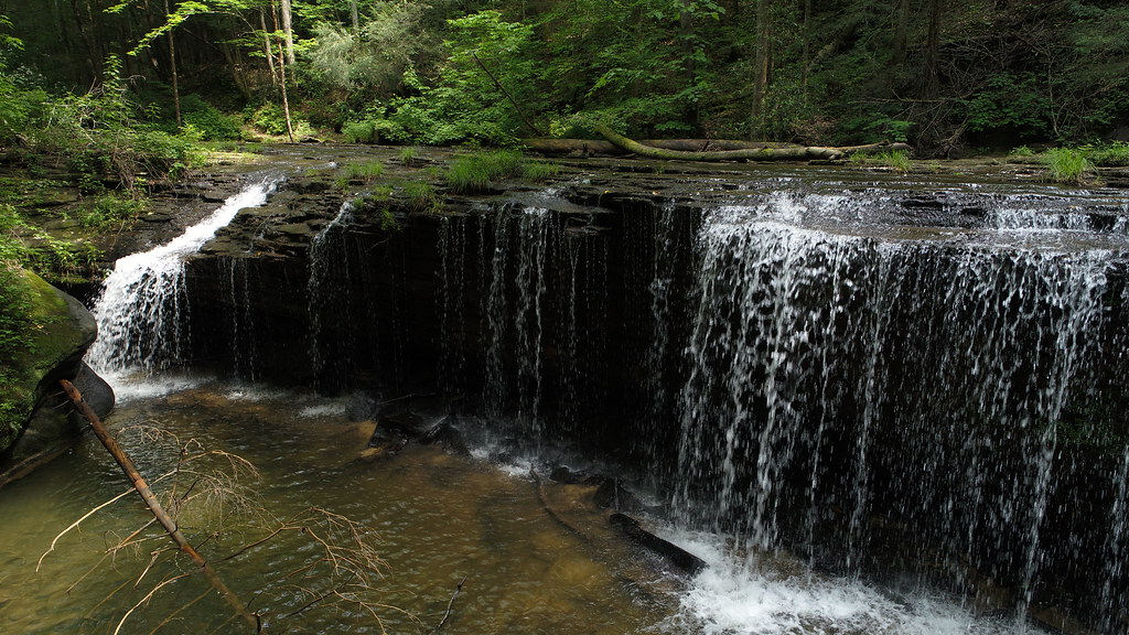 Lick Creek Falls Trail 631AHikingPhoto: US Forest Service - Southern Region, Public Domain Mark (via Flickr)2.1 mi
- SpringfieldRock climbing2.7 mi
- Blue Heron CampgroundCamping2.7 mi
- Upstream RoutesRock climbing2.9 mi
- Downstream AreaRock climbing2.9 mi
 Table Rock Camping AreaCampingPhoto: NPS staff, Public domain (via Wikimedia Commons)3.3 mi
Source: Roamze catalog (indexable pages within 10 miles, PostGIS distance)
- Lick Creek Falls Trail 631AHiking · ~4 min drivePhoto: US Forest Service - Southern Region, Public Domain Mark (via Flickr)
 Negro Creek Trail 612Hiking · ~4 min drivePhoto: US Forest Service - Southern Region, Public Domain Mark (via Flickr)
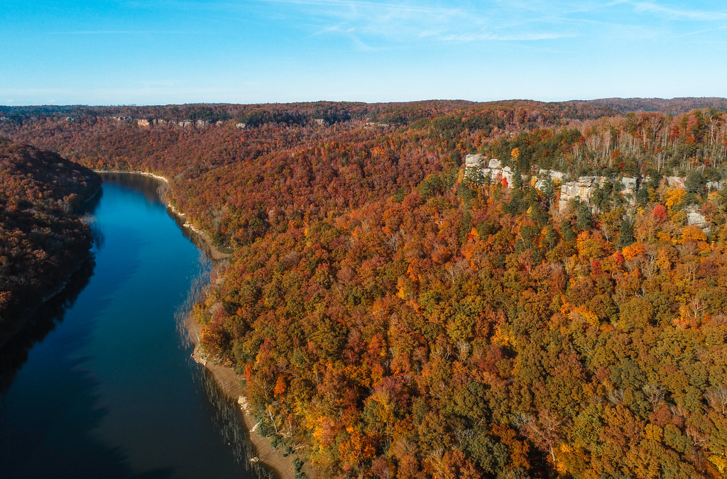 Sheltowee Trace TrailHiking · ~9 min drivePhoto: US Forest Service - Southern Region, Public Domain Mark (via Flickr)
- LICK CREEKHiking · ~4 min drivePhoto: US Forest Service - Southern Region, Public Domain Mark (via Flickr)
 Sheltowee Trace TrailHiking · ~7 min drivePhoto: fiforms, CC BY-SA 2.0 (via Flickr)
- Sheltowee Trace TrailHiking · ~6 min drive
- Markers ArchHiking · ~6 min drivePhoto: fiforms, CC BY-SA 2.0 (via Flickr)
- Sheltowee Trace TrailHiking · ~1 min drive
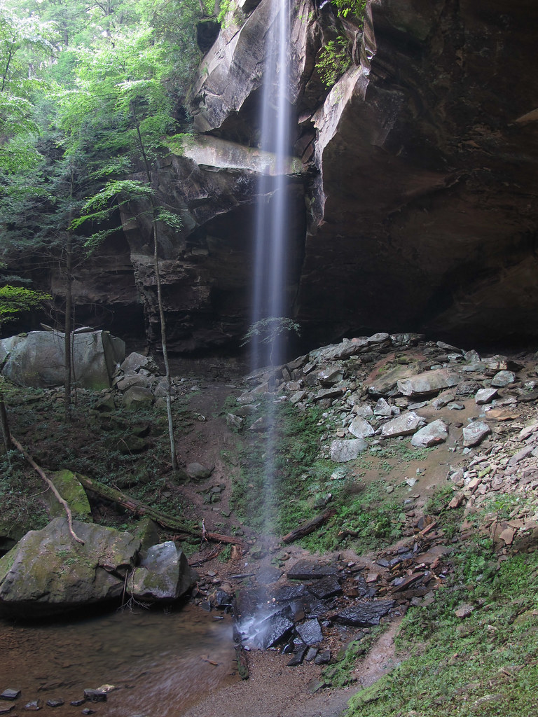 Yahoo Overlook TrailHiking · ~7 min drivePhoto: pmuellr, CC BY 2.0 (via Flickr)
- Beech Grove RoadHiking · ~4 min drive
Best time to visit Kentucky Trail
Best months: March–November. Best months have typical highs of 55–85 °F, lows of 30 °F or warmer (32 °F where the station doesn't record snow), at most one snowy day and no more than 12 wet days.
Jan
45° / 24°
11 wet
Feb
49° / 26°
10 wet
Mar
59° / 33°
10 wet
Apr
69° / 41°
10 wet
May
77° / 51°
11 wet
Jun
82° / 59°
10 wet
Jul
85° / 63°
10 wet
Aug
85° / 62°
8 wet
Sep
79° / 54°
7 wet
Oct
69° / 41°
8 wet
Nov
57° / 32°
8 wet
Dec
48° / 27°
11 wet
Typical high / low (°F) and days with rain or snow, 1991–2020. Measured at Stearns 2s, KY, 4.5 mi away at 1,220 ft. This station doesn't record snowfall. Source: NOAA NCEI U.S. Climate Normals 1991–2020.

Map and trail data © OpenStreetMap contributors
