Koa
- Mar–May, Sep–Nov
- best months
- At 620 ft
KOA is a campground in Kentucky at about 620 feet.
- Thelma Stovall Park Walking TrackHiking5.4 mi
- White Oak TrailHiking6.2 mi
- Mammoth Cave CampgroundCamping8.3 mi
- Campground TrailHiking8.8 mi
- Green River Bluffs TrailHiking8.9 mi
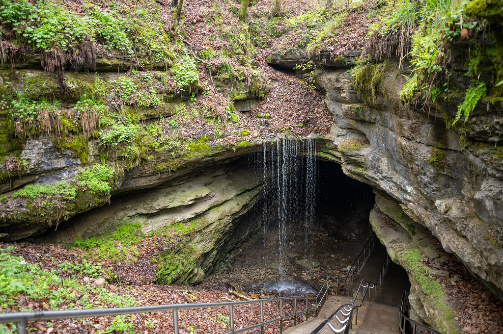 Sinkhole TrailHikingPhoto: xiquinhosilva, CC BY 2.0 (via Flickr)9.1 mi
- Green RiverRiver fishing9.2 mi
- Canoe & Kayak LaunchBoat launch9.6 mi
Source: Roamze catalog (indexable pages within 10 miles, PostGIS distance)
 Mammoth Cave CampgroundCamping · ~15 min drivePhoto: xiquinhosilva — CC BY 2.0 (via Flickr)
- Laurel BranchCamping · ~1h 8m drive
- North Fork (ky)Camping · ~1h 9m drive
- AxtelCamping · ~1h 9m drive
- Cave Country RV CampgroundCamping · ~8 min drive
- Jellystone Park at Mammoth CaveCamping · ~9 min drive
- Singing Hills RV Park & CampgroundCamping · ~11 min drive
- Mammoth Cave CampgroundCamping · ~14 min drive
- Maple SpringsCamping · ~18 min drive
- Raymer Hollow CampsiteCamping · ~19 min drive
Best time to visit KOA
Best months: March–May and September–November. Best months have typical highs of 55–85 °F, lows of 30 °F or warmer (32 °F where the station doesn't record snow), at most one snowy day and no more than 12 wet days.
Jan
48° / 29°
12 wet
Feb
53° / 32°
11 wet
Mar
62° / 39°
12 wet
Apr
73° / 48°
12 wet
May
81° / 57°
12 wet
Jun
88° / 64°
12 wet
Jul
91° / 68°
11 wet
Aug
90° / 67°
9 wet
Sep
85° / 60°
8 wet
Oct
74° / 49°
9 wet
Nov
61° / 40°
10 wet
Dec
51° / 33°
12 wet
Typical high / low (°F) and days with rain or snow, 1991–2020. Measured at Mammoth Cave, KY, 12.4 mi away at 760 ft. This station doesn't record snowfall. Source: NOAA NCEI U.S. Climate Normals 1991–2020.
Map and trail data © OpenStreetMap contributors
