Wilderness Loop
 Photo: Kimaz2412, CC BY 2.0 (via Flickr)
- 0.8 mi
- one way
- 91 ft
- climb
- 935 ft
- high point
- Point to point
- route
- Apr, Jun
- best months
Wilderness Loop is a short, easy hike in Brown's Woods, a county-managed parcel in Iowa. The route is 0.8 miles long and rises about 90 feet, making it a low-effort outing that fits easily into a longer day on the trails around here. The climb is front-loaded, with the steepest stretch at about 0.6 miles in, and the trail reaches a high point of 935 feet before it descends slightly. Bikes and horses are not allowed, so plan on walking. Late spring and early fall are the most comfortable times to go. Typical averages from a nearby weather station in Des Moines show May highs around 72°F and September highs around 77°F, with July peaking near 86°F. North Loop and Preparation Loop both start about 0.1 mile away, and Raccoon River Park Trail is about a mile off. Purgatory Trail is roughly 2 miles away.
Local outfitters
- Creston and Union County Tourism48 mi away
Not on Roamze yet. Their page has how to reach them.
Best time to go · Apr, Jun
Best time to visit Wilderness Loop
Best months: April, June and August–October. Best months have typical highs of 55–85 °F, lows of 30 °F or warmer (32 °F where the station doesn't record snow), at most one snowy day and no more than 12 wet days.
Jan
31° / 14°
8 wet
Feb
36° / 18°
8 wet
Mar
49° / 30°
10 wet
Apr
62° / 41°
11 wet
May
72° / 52°
13 wet
Jun
82° / 62°
11 wet
Jul
86° / 66°
10 wet
Aug
84° / 64°
9 wet
Sep
77° / 55°
8 wet
Oct
63° / 43°
8 wet
Nov
48° / 30°
8 wet
Dec
36° / 19°
8 wet
Typical high / low (°F) and days with rain or snow, 1991–2020. Measured at Des Moines Intl Ap, IA, 3.1 mi away at 957 ft. This station doesn't record snowfall. Source: NOAA NCEI U.S. Climate Normals 1991–2020.
Keep exploring — more trails worth the drive
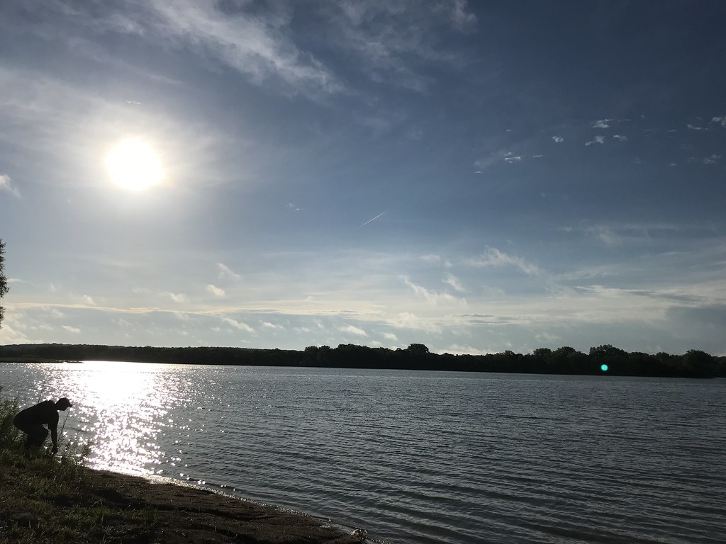 Photo: Kimaz2412, CC BY 2.0 (via Flickr)
Raccoon River Park Trail
~2 min drive
Scenic out-and-back riverside walk along the Raccoon River in Iowa.
 Photo: U.S. Army Corps of Engineers, photographer not specified or unknown, Public domain (via Wikimedia Commons)
Fresh Cut
~16 min drive
0.36-mile loop trail in Iowa with 42 ft of elevation gain.
HIKE
Adt - Iowa - K - Seg 4
~11 min drive
A 75-mile point-to-point Iowa trail for experienced long-distance hikers.
 Photo: Phil Roeder, CC BY 2.0 (via Flickr)
Lakeshore Trail
~30 min drive
Scenic 5.71-mile point-to-point lakeshore walk in Iowa.
Photo: Phil Roeder, CC BY 2.0 (via Flickr)Camper's Loop Trail
~29 min drive
Quick point-to-point trail near Iowa campgrounds, great for families.
HIKE
Original Raccoon River Valley Trail
~18 min drive
Point-to-point river valley trail following the Raccoon River in Iowa.
 Photo: Phil Roeder, CC BY 2.0 (via Flickr)
Red Cedar Trail
~30 min drive
A short point-to-point woodland walk in Iowa's Red Cedar River valley.
HIKE
Gay Lea Wilson Trail West
~21 min drive
13.6-mile point-to-point Iowa trail offering extended hiking through scenic terrain.
Photo: Phil Roeder, CC BY 2.0 (via Flickr)Fox Run Trail
~30 min drive
Easy 0.65-mile point-to-point trail in Iowa.
Photo: Phil Roeder, CC BY 2.0 (via Flickr)Hickory Ridge Trail
~30 min drive
A scenic point-to-point ridge hike through Iowa woodland terrain.
Map and trail data © OpenStreetMap contributors
