Low Line Trail
- 3.6 mi
- one way
- 11 ft
- climb
- 817 ft
- high point
- Point to point
- route
- Apr–Jun, Aug–Oct
- best months
Low Line Trail is a short, easy hike in Saylorville Recreation Area in Iowa, managed by the Army Corps of Engineers. The route is about 3.6 miles long, with a total elevation gain of 11 feet, so it's a mostly flat walk from start to finish. The trail is a point-to-point route, and the steepest stretch comes at about 0.76 miles in, with a grade of about 5 percent. Bikes are allowed, but horses are not. For comfortable weather, aim for late spring or early fall. Typical averages from a nearby weather station in Ankeny show May highs around 72°F and September highs around 77°F, while July averages about 86°F. Several other trails sit close by. Lake Loop is about 0.1 mile away, Swan Song is about 0.3 mile away, and Pump Track Loop is about 0.4 mile away. Cottonwood Recreation Area, about 2.7 miles off, offers lake fishing.
- Lake LoopHiking0.1 mi
- Swan SongHiking0.3 mi
- Pump Track LoopHiking0.4 mi
- Top Shelf TrailHiking1 mi
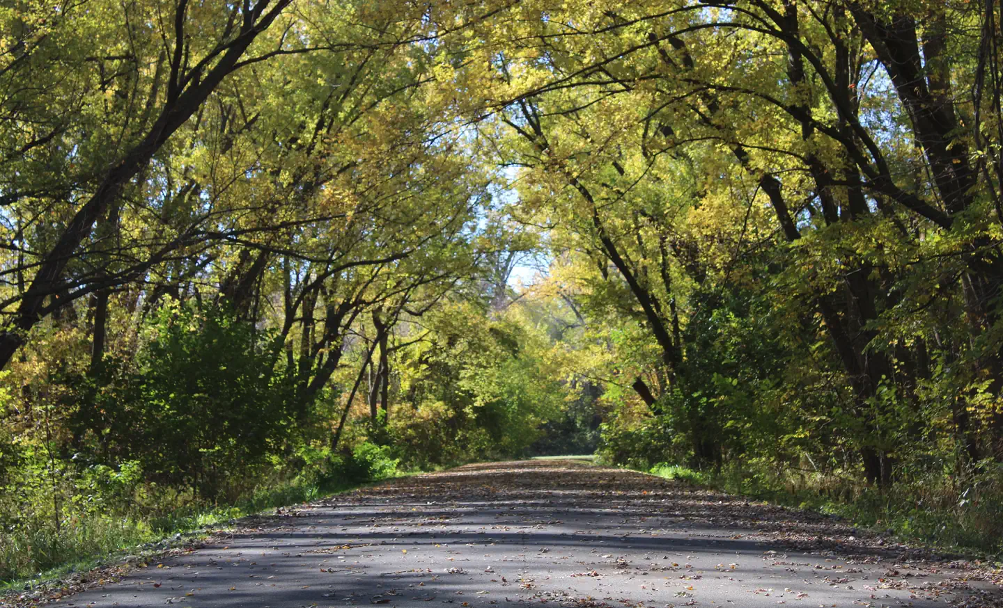 Cottonwood Recreation AreaLake fishing2.7 mi
 Des Moines RiverCanoeingPhoto: Ken Lund from Reno, Nevada, USA, CC BY-SA 2.0 (via Wikimedia Commons)3.2 mi
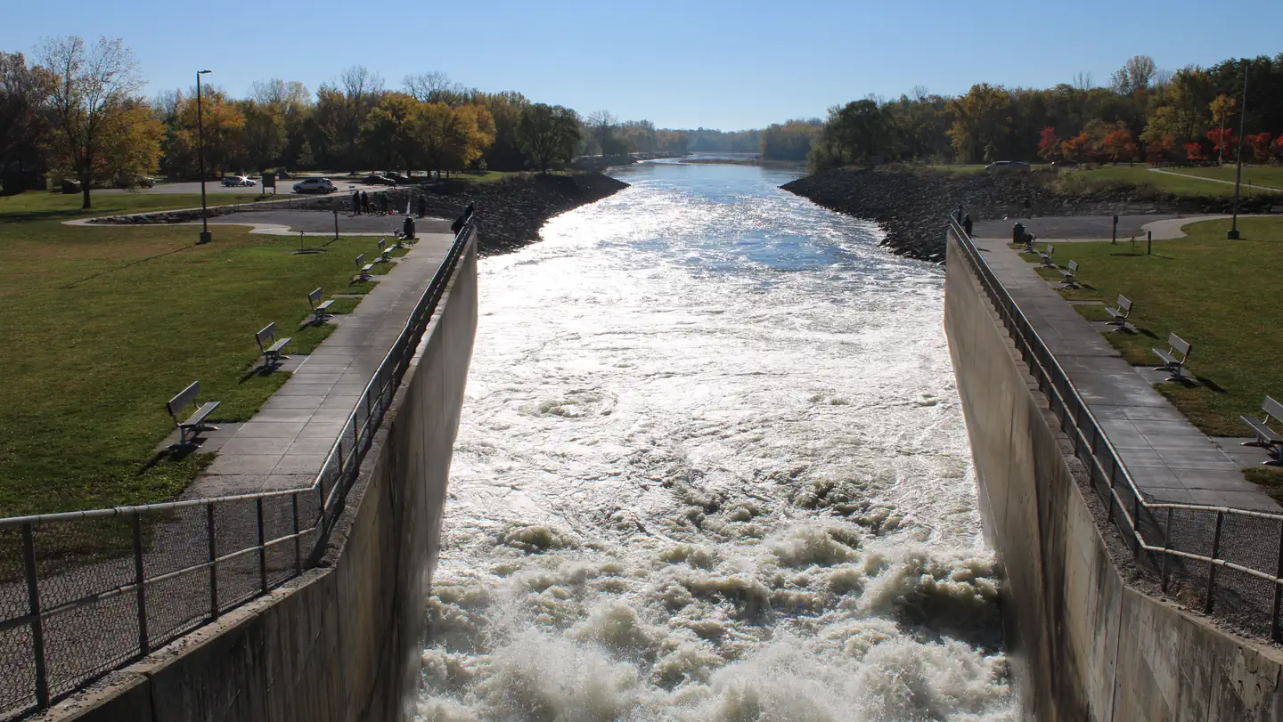 Bob Shetler Recreation AreaLake fishing3.5 mi
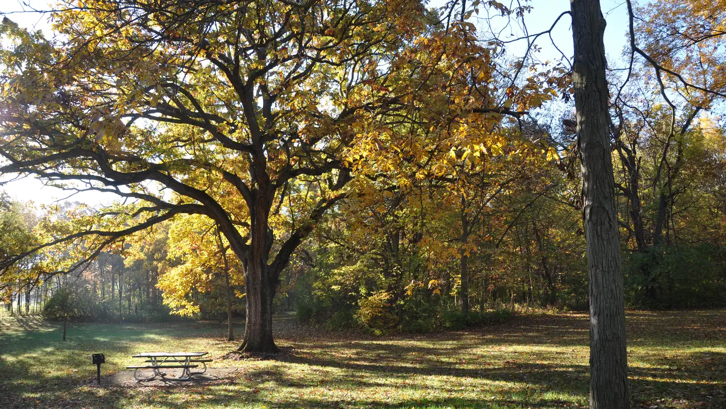 Walnut Ridge Recreation AreaLake fishing6 mi
Source: Roamze catalog (indexable pages within 10 miles, PostGIS distance)
 Fresh CutHiking · ~3 min drivePhoto: U.S. Army Corps of Engineers, photographer not specified or unknown, Public domain (via Wikimedia Commons)
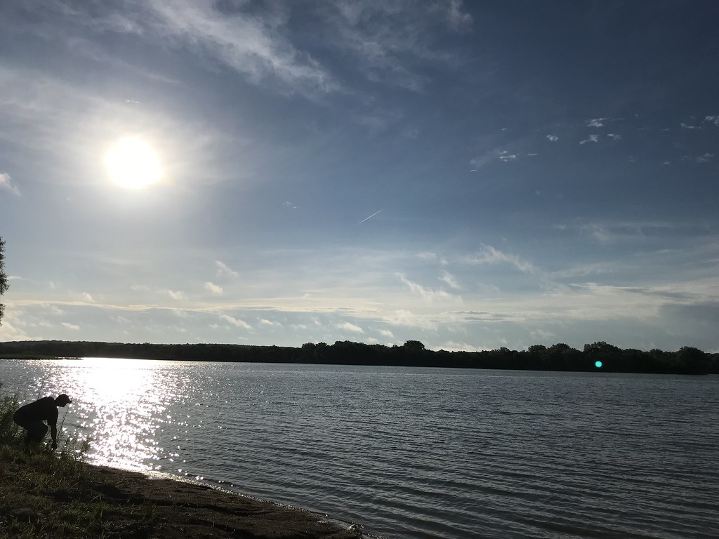 Raccoon River Park TrailHiking · ~13 min drivePhoto: Kimaz2412, CC BY 2.0 (via Flickr)
- Adt - Iowa - K - Seg 4Hiking · ~4 min drive
 Wilderness LoopHiking · ~13 min drivePhoto: Kimaz2412, CC BY 2.0 (via Flickr)
 Lakeshore TrailHiking · ~20 min drivePhoto: Phil Roeder, CC BY 2.0 (via Flickr)
- Gay Lea Wilson Trail WestHiking · ~9 min drive
- Camper's Loop TrailHiking · ~19 min drivePhoto: Phil Roeder, CC BY 2.0 (via Flickr)
- Original Raccoon River Valley TrailHiking · ~20 min drive
 Red Cedar TrailHiking · ~19 min drivePhoto: Phil Roeder, CC BY 2.0 (via Flickr)
- Fox Run TrailHiking · ~19 min drivePhoto: Phil Roeder, CC BY 2.0 (via Flickr)
Best time to visit Low Line Trail
Best months: April–June and August–October. Best months have typical highs of 55–85 °F, lows of 30 °F or warmer (32 °F where the station doesn't record snow), at most one snowy day and no more than 12 wet days.
Jan
30° / 12°
6 wet · 4 snow
Feb
34° / 16°
6 wet · 4 snow
Mar
47° / 27°
7 wet · 2 snow
Apr
61° / 38°
10 wet · 1 snow
May
72° / 50°
12 wet
Jun
82° / 61°
11 wet
Jul
86° / 65°
10 wet
Aug
84° / 62°
9 wet
Sep
77° / 53°
8 wet
Oct
64° / 40°
8 wet
Nov
48° / 29°
7 wet · 1 snow
Dec
35° / 18°
7 wet · 3 snow
Typical high / low (°F) and days with rain or snow, 1991–2020. Measured at Ankeny, IA, 5.6 mi away at 975 ft. Source: NOAA NCEI U.S. Climate Normals 1991–2020.
Map and trail data © OpenStreetMap contributors
