Downey Hill
- 892 ft
- summit
- 3
- ways up
- Jun, Aug–Oct
- best months
Downey Hill is a summit in Indiana, rising to 892 feet about 5.4 miles from the town of Nashville. It sits among a cluster of short trails, so it works well as a destination in its own right or as a stop along a longer outing on the surrounding network. The most comfortable months for a visit are typically late spring and early fall. Typical averages from a nearby weather station in Columbus show May highs around 75°F and September highs around 80°F, with September also seeing the fewest wet days of the year. The Cut-Thru Trail passes just 0.4 miles away, and the North Loop Trail and South Loop Trail are each about 0.7 miles off. For time on the water, White Creek offers canoeing roughly 8.3 miles away.
Conditions and forecast
Daily highs and lows, wind and the chance of precipitation at the summit and route start for the next 7 days, from the Open-Meteo model.
- Summit elevation
- 892 ft
Elevation from USGS 3D Elevation Program terrain data (about 10 m resolution).
- South Loop TrailEasyabout 368 ft of climbing2.9 mi
- Old Road TrailEasyabout 32 ft of climbing0.8 mi
- North Loop TrailEasyabout 231 ft of climbing2.0 mi
Compare the routes South Loop Trail Old Road Trail North Loop Trail Climbing About 368 ft About 32 ft About 231 ft Round trip 2.9 mi 0.8 mi 2.0 mi Difficulty Easy Easy Easy Terrain Hike Hike Hike Map © Mapbox © OpenStreetMap contributors Questions about Downey Hill
How tall is Downey Hill?
892 ft (272 m).
How many routes go to the summit of Downey Hill?
3: South Loop Trail, Old Road Trail and North Loop Trail.
What is the shortest route up Downey Hill?
Old Road Trail, about 0.8 mi.
 Weed Patch Hill1,055 ft · Indiana1 route3.9 mi awayPhoto: MrGreenBean (talk), Public domain (via Wikimedia Commons)
- Wilkerson Hill771 ft · Indiana2 routes8.9 mi away
- Hominy Mortar836 ft · Indiana1 route12 mi away
- Pinnacle951 ft · Indiana1 route22 mi away
- The Mounds982 ft · Indiana1 route66 mi away
- Fort Hill743 ft · Ohio1 route72 mi away
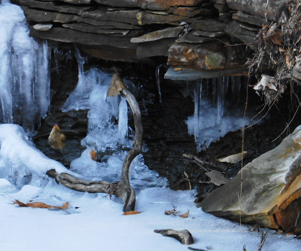 Cut-Thru TrailHikingPhoto: ken ratcliff, CC BY 2.0 (via Flickr)0.4 mi
- North Loop TrailHikingPhoto: ken ratcliff, CC BY 2.0 (via Flickr)0.7 mi
- South Loop TrailHikingPhoto: ken ratcliff, CC BY 2.0 (via Flickr)0.7 mi
 Old Road TrailHikingPhoto: ken ratcliff, CC BY 2.0 (via Flickr)0.7 mi
- Saddle Barn TrailHiking3.8 mi
- Ccc TrailHiking3.8 mi
- White CreekCanoeing8.3 mi
- Little Salt CreekCanoeing9.3 mi
Source: Roamze catalog (indexable pages within 10 miles, PostGIS distance)
Best time to visit Downey Hill
Best months: June and August–October. Best months have typical highs of 55–85 °F, lows of 30 °F or warmer (32 °F where the station doesn't record snow), at most one snowy day and no more than 12 wet days.
Jan
39° / 21°
11 wet · 4 snow
Feb
43° / 24°
10 wet · 3 snow
Mar
53° / 32°
12 wet · 1 snow
Apr
66° / 42°
13 wet
May
75° / 53°
13 wet
Jun
83° / 62°
11 wet
Jul
86° / 65°
10 wet
Aug
85° / 63°
8 wet
Sep
80° / 55°
7 wet
Oct
68° / 44°
8 wet
Nov
54° / 34°
9 wet
Dec
43° / 26°
11 wet · 2 snow
Typical high / low (°F) and days with rain or snow, 1991–2020. Measured at Columbus, IN, 12 mi away at 609 ft. Source: NOAA NCEI U.S. Climate Normals 1991–2020.
