Templeton Creek Ramp
- Apr, Jun
- best months
Templeton Creek Ramp is a boat launch in Indiana's Brookville Recreation Area, about 3 miles from Lakeshore Resort. It serves as a put-in for boaters heading onto the water in this corner of the state. For comfortable weather, aim for late spring or early fall. Typical averages from the nearby Brookville weather station show May highs around 76°F and September highs around 81°F, with July peaking near 87°F. The Glidwell Trail is just 0.7 miles away for a short walk. Tailwater Shelter 1 and Tailwater Shelter 2 on Brookville Lake are each about 3.5 miles off, and Big Cedar Creek, a canoeing route, lies roughly 5.4 miles away.
- Glidwell TrailHiking0.7 mi
 Tailwater Shelter 1 (brookville Lake)Lake fishing3.5 mi
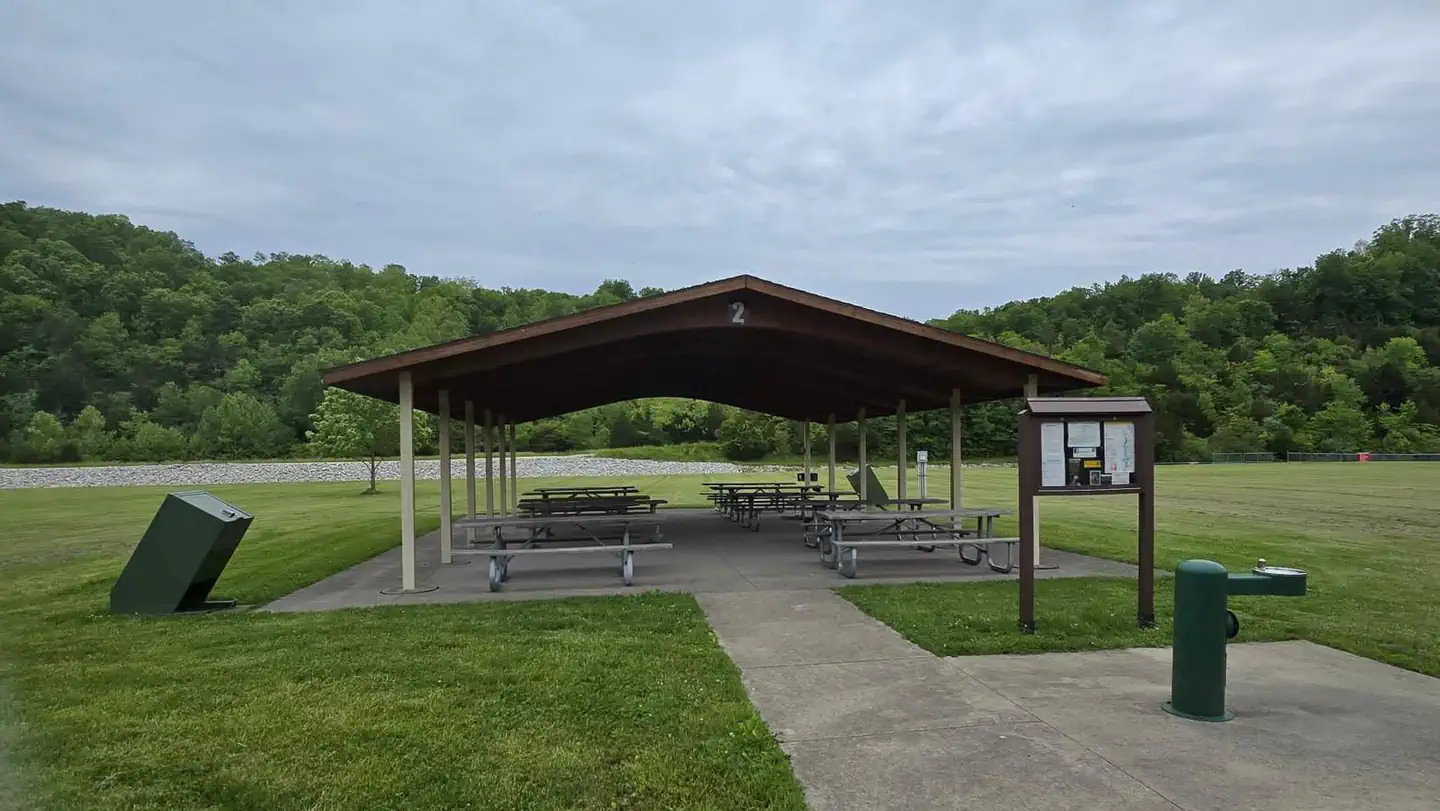 Tailwater Shelter 2 (brookville Lake)Lake fishing3.5 mi
- Big Cedar CreekCanoeing5.4 mi
- Memorial Loop (#12)Hiking9 mi
Source: Roamze catalog (indexable pages within 10 miles, PostGIS distance)
 Mill CreekCanoeing · ~54 min drivePhoto: The original uploader was Mind meal at English Wikipedia., CC BY-SA 2.0 (via Wikimedia Commons)
- Garr Hill RampBoat launch · ~1 min drive
- Big Cedar CreekCanoeing · ~9 min drive
- Bonwell Hill RampBoat launch · ~5 min drive
- Garrison CreekCanoeing · ~19 min drive
- Fairfield RampBoat launch · ~6 min drive
- Little Salt CreekCanoeing · ~25 min drive
- Egypt Hollow RampBoat launch · ~7 min drive
- Little Four Mile CreekCanoeing · ~28 min drive
- Hanna Creek RampBoat launch · ~8 min drive
Best time to visit Templeton Creek Ramp
Best months: April, June and September–October. Best months have typical highs of 55–85 °F, lows of 30 °F or warmer (32 °F where the station doesn't record snow), at most one snowy day and no more than 12 wet days.
Jan
38° / 20°
11 wet · 4 snow
Feb
42° / 23°
9 wet · 3 snow
Mar
53° / 31°
11 wet · 2 snow
Apr
66° / 41°
12 wet
May
76° / 51°
13 wet
Jun
84° / 60°
11 wet
Jul
87° / 64°
10 wet
Aug
86° / 62°
9 wet
Sep
81° / 55°
8 wet
Oct
68° / 42°
9 wet
Nov
54° / 33°
10 wet · 1 snow
Dec
43° / 26°
11 wet · 3 snow
Typical high / low (°F) and days with rain or snow, 1991–2020. Measured at Brookville, IN, 4.6 mi away at 630 ft. Source: NOAA NCEI U.S. Climate Normals 1991–2020.
Map and trail data © OpenStreetMap contributors
