Glidwell Trail
- 0.9 mi
- round trip
- 159 ft
- climb
- 980 ft
- high point
- Out and back
- route
- Apr, Jun
- best months
Glidwell Trail is a short, easy out-and-back hike in Indiana's Brookville Recreation Area, managed by the Army Corps of Engineers. The trail is about 1.9 miles long, with a total elevation gain of 159 feet, and it starts and ends at roughly 888 feet, with a high point of 980 feet. The steepest stretch comes at about 0.56 miles in, with a grade of about 6 percent. Spring and fall are the most comfortable times to go. Typical averages from a nearby weather station in Brookville show May highs around 76°F and October highs around 68°F, while July averages about 87°F and January highs sit near 38°F. That station sits about 350 feet lower than the trail, so temperatures on the trail run a little cooler. The hike takes about half an hour. Tailwater Shelter 1 and Tailwater Shelter 2, both on Brookville Lake, are about 4 miles away. Big Cedar Creek, a canoeing spot, is about 6 miles off, and Memorial Loop (#12) is about 8.4 miles away.
Local outfitters
- Whitewater Canal Trail Inc.8 mi away
Not on Roamze yet. Their page has how to reach them.
 Tailwater Shelter 1 (brookville Lake)Lake fishing4 mi
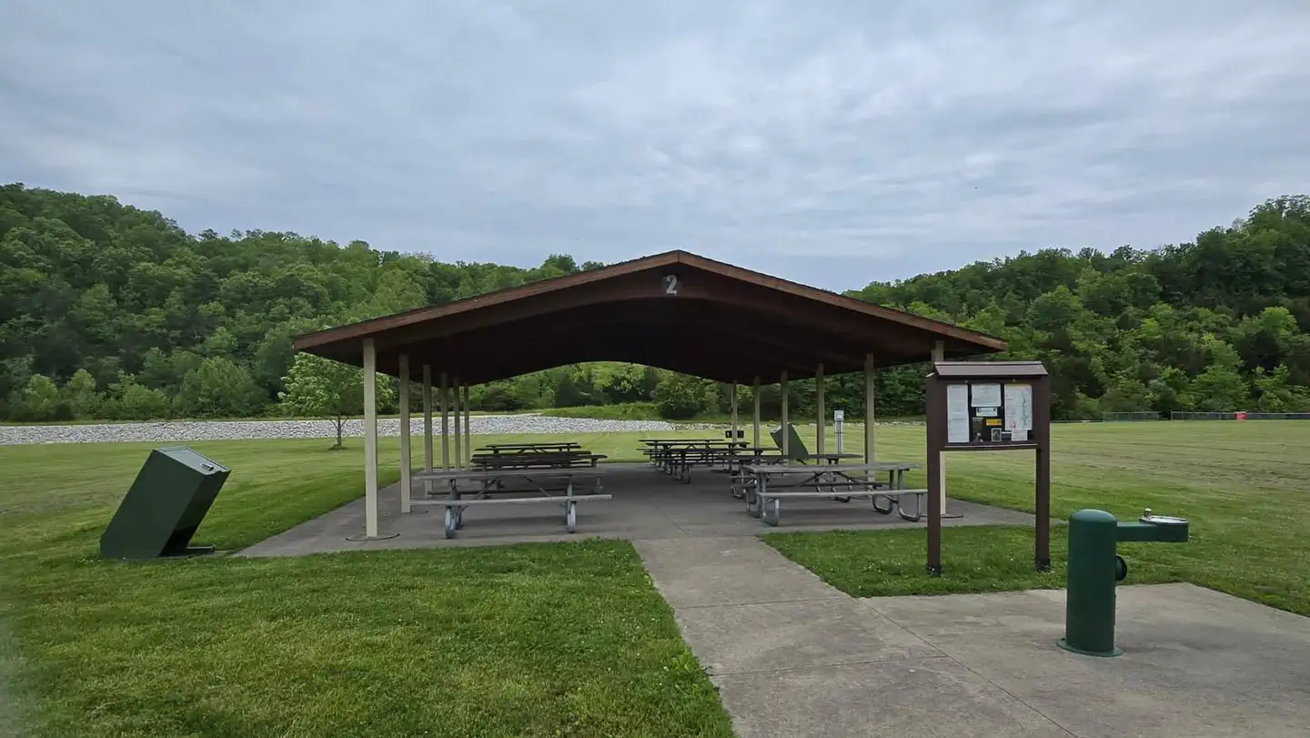 Tailwater Shelter 2 (brookville Lake)Lake fishing4.1 mi
- Big Cedar CreekCanoeing6 mi
- Memorial Loop (#12)Hiking8.4 mi
Source: Roamze catalog (indexable pages within 10 miles, PostGIS distance)
 Shaker Trace Outer LoopHiking · ~35 min drivePhoto: Stamnariophilus, CC BY-SA 2.0 (via Flickr)
 Shaker Trace Inner LoopHiking · ~35 min drivePhoto: Stamnariophilus, CC BY-SA 2.0 (via Flickr)
- Adt - Ohio E - Seg 11Hiking · ~35 min drivePhoto: Stamnariophilus, CC BY-SA 2.0 (via Flickr)
- Grandview LoopHiking · ~52 min drive
- Shaker Trace TrailHiking · ~35 min drivePhoto: Stamnariophilus, CC BY-SA 2.0 (via Flickr)
- Adt - Indiana (North) - G - Seg 1Hiking · ~32 min drive
- Explorer's TrailHiking · ~53 min drive
 CreeksideHiking · ~53 min drivePhoto: Chris Light, CC BY-SA 4.0 (via Wikimedia Commons)
- Sisters' Hill TrailHiking · ~56 min drive
- Turtle TrailHiking · ~54 min drivePhoto: Chris Light, CC BY-SA 4.0 (via Wikimedia Commons)
Best time to visit Glidwell Trail
Best months: April, June and September–October. Best months have typical highs of 55–85 °F, lows of 30 °F or warmer (32 °F where the station doesn't record snow), at most one snowy day and no more than 12 wet days.
Jan
38° / 20°
11 wet · 4 snow
Feb
42° / 23°
9 wet · 3 snow
Mar
53° / 31°
11 wet · 2 snow
Apr
66° / 41°
12 wet
May
76° / 51°
13 wet
Jun
84° / 60°
11 wet
Jul
87° / 64°
10 wet
Aug
86° / 62°
9 wet
Sep
81° / 55°
8 wet
Oct
68° / 42°
9 wet
Nov
54° / 33°
10 wet · 1 snow
Dec
43° / 26°
11 wet · 3 snow
Typical high / low (°F) and days with rain or snow, 1991–2020. Measured at Brookville, IN, 5.1 mi away at 630 ft. Source: NOAA NCEI U.S. Climate Normals 1991–2020.
Route details
- Distance
- 0.9 mi round trip
- Climbing
- About 159 ft
- Summit
- 982 ft
- Difficulty
- Easy
- Time
- About 0.5 hours
Questions about this route
How long is the Glidwell Trail on The Mounds?
About 0.9 mi round trip.
How much elevation gain is on the Glidwell Trail?
About 159 ft of climbing round trip.
How hard is the Glidwell Trail?
It is rated easy.
How long does the Glidwell Trail take?
About 0.5 hours round trip.
Conditions and forecast on The Mounds
Daily highs and lows, wind and the chance of precipitation at the summit and route start for the next 7 days, from the Open-Meteo model.
Map and trail data © OpenStreetMap contributors
