Yellow Paved Loop
- 1.6 mi
- loop
- 21 ft
- climb
- 728 ft
- high point
- Loop
- route
- Apr, Jun
- best months
Yellow Paved Loop is a 1.6-mile loop on Regional Agency Land in Illinois, set within Orland Grassland South. The route is easy, with a total elevation gain of about 21 feet. It is a short, low-effort outing, and the loop's gentle profile makes it a straightforward choice for a walk or a bike ride. The loop begins and ends at roughly 712 feet, with the high point at 728 feet. The steepest stretch comes at about 1.1 miles in, where the grade reaches about 4 percent. Bikes are allowed, but horses are not. Late spring and early fall are the most comfortable times to go. Typical averages from a nearby weather station run from highs around 73°F and lows near 50°F in May to highs around 80°F and lows near 55°F in September. Several other trails sit close by. Brown Primitive Loop is about 0.6 miles away, Tan Primitive Trail is about a mile off, and Orange Primitive Trail is about 1.7 miles away. Yellow Primitive Loop, at about 1.9 miles, is also in the area.
Best time to go · Apr, Jun
Best time to visit Yellow Paved Loop
Best months: April, June and September–October. Best months have typical highs of 55–85 °F, lows of 30 °F or warmer (32 °F where the station doesn't record snow), at most one snowy day and no more than 12 wet days.
Jan
33° / 15°
10 wet
Feb
37° / 18°
9 wet
Mar
49° / 28°
10 wet
Apr
62° / 39°
12 wet
May
73° / 50°
13 wet
Jun
84° / 60°
12 wet
Jul
90° / 64°
11 wet
Aug
87° / 63°
10 wet
Sep
80° / 55°
9 wet
Oct
65° / 43°
10 wet
Nov
50° / 31°
9 wet
Dec
38° / 21°
10 wet
Typical high / low (°F) and days with rain or snow, 1991–2020. Measured at Little Red School Hse, IL, 10.5 mi away at 715 ft. This station doesn't record snowfall. Source: NOAA NCEI U.S. Climate Normals 1991–2020.
Keep exploring — more trails worth the drive
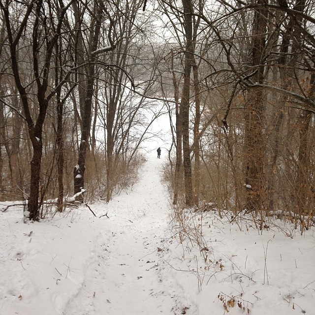 Photo: enn-here, CC BY 2.0 (via Flickr)
Green Unpaved Trail
~13 min drive
0.36-mile point-to-point trail in Illinois with 59 ft elevation gain.
 Photo: Darek214, CC BY 2.0 (via Flickr)
Yellow Loop
~15 min drive
8.06-mile loop trail in Illinois with 766 ft elevation gain.
HIKE
Adt - Illinois - I - Seg 1
~22 min drive
A 39.55-mile point-to-point Illinois trail for experienced hikers.
Photo: enn-here, CC BY 2.0 (via Flickr)Black Trail
~14 min drive
Short point-to-point trail under 1 mile in Illinois.
 Photo: davidwilson1949, CC BY 2.0 (via Flickr)
Orange Unpaved Loop
~17 min drive
4-mile unpaved point-to-point trail through Illinois countryside.
 Photo: Ken Lund from Reno, Nevada, USA, CC BY-SA 2.0 (via Wikimedia Commons)
Brown Trail
~14 min drive
Brown Trail is a 0.36-mile point-to-point trail in Illinois with 6 ft of elevation gain.
 Photo: Joe K Gage, CC BY-SA 2.0 (via Flickr)
Main Trail
~22 min drive
9.49-mile loop trail in Illinois with 675 ft elevation gain.
Photo: Ken Lund from Reno, Nevada, USA, CC BY-SA 2.0 (via Wikimedia Commons)Tan Trail
~14 min drive
0.53-mile point-to-point trail in Illinois with 51 ft elevation gain
HIKE
Yellow East Trail
~17 min drive
A 5.95-mile point-to-point trail in Illinois with moderate distance.
Photo: Ken Lund from Reno, Nevada, USA, CC BY-SA 2.0 (via Wikimedia Commons)Purple Trail
~14 min drive
0.39-mile point-to-point trail in Illinois with 1 ft gain and 103 ft loss.
Map and trail data © OpenStreetMap contributors
