Pyramid Trail
- 1.1 mi
- round trip
- 144 ft
- climb
- 454 ft
- high point
- Out and back
- route
- Mar–Jun, Sep–Nov
- best months
Pyramid Trail is a short, easy hike in Pyramid State Recreation Area in southern Illinois, managed by the State Department of Natural Resources. The trail is an out-and-back route of about 2.1 miles, with a total elevation gain of about 25 feet. It starts and ends at roughly 431 feet, and the high point is about 454 feet. The climb is steady, and the steepest stretch comes at about 0.93 miles in, with a grade of about 5%. Spring and fall are the most comfortable times to go. Typical averages from a nearby weather station in Du Quoin show May highs around 76°F and October highs around 69°F, while July averages about 87°F. The Lost Forty Trail lies about 0.4 miles away, and Galum Creek, a canoeing spot, is about 3.1 miles off.
Best time to go · Mar–Jun, Sep–Nov
Best time to visit Pyramid Trail
Best months: March–June and September–November. Best months have typical highs of 55–85 °F, lows of 30 °F or warmer (32 °F where the station doesn't record snow), at most one snowy day and no more than 12 wet days.
Jan
40° / 24°
8 wet · 2 snow
Feb
46° / 28°
7 wet · 2 snow
Mar
56° / 36°
9 wet · 1 snow
Apr
68° / 46°
10 wet
May
76° / 56°
10 wet
Jun
84° / 64°
9 wet
Jul
87° / 68°
8 wet
Aug
86° / 65°
7 wet
Sep
80° / 57°
6 wet
Oct
69° / 46°
7 wet
Nov
55° / 35°
8 wet
Dec
44° / 28°
8 wet · 1 snow
Typical high / low (°F) and days with rain or snow, 1991–2020. Measured at Du Quoin 4 Se, IL, 12.9 mi away at 420 ft. Source: NOAA NCEI U.S. Climate Normals 1991–2020.
Keep exploring — more trails worth the drive
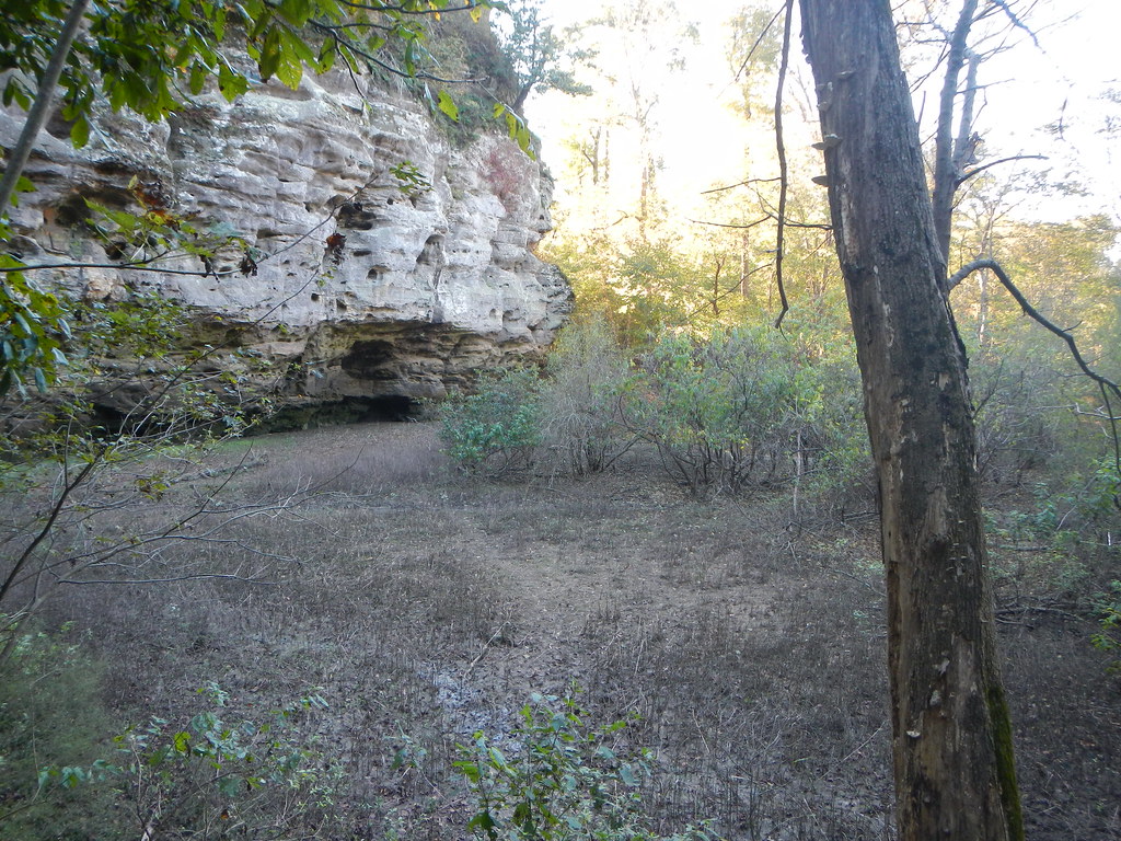 Photo: Curtis Abert, CC BY 2.0 (via Flickr)
Little Grand Canyon
~39 min drive
2.22-mile out-and-back trail in Illinois with 406 ft elevation gain.
 Photo: USDAgov, Public Domain Dedication (CC0) (via Flickr)
Adt - Illinois (South) - J - Seg 3
~45 min drive
114.57-mile point-to-point trail in Illinois with 521 ft elevation gain.
 Photo: Curtis Abert, CC BY 2.0 (via Flickr)
Kinkaid Lake Trail
~29 min drive
29.44-mile out-and-back trail in Illinois with 3,607 ft elevation gain/loss.
 Photo: Curtis Abert, CC BY 2.0 (via Flickr)
Little Grand Canyon
~40 min drive
3.64-mile out-and-back trail in Illinois with 1,255 ft elevation gain
 Photo: Gary Lee Todd, Ph.D., Public Domain Dedication (CC0) (via Flickr)
Fernlands Nature Trail
~42 min drive
0.88-mile out-and-back hike in Illinois with 112 ft elevation gain.
Photo: USDAgov, Public Domain Dedication (CC0) (via Flickr)River to River Segment 7 - Alto Pass to Devil's Backbone
~45 min drive
21.12-mile point-to-point trail from Alto Pass to Devil's Backbone in Illinois
HIKE
Kinkaid Lake North
~22 min drive
2.87-mile out-and-back trail at Kinkaid Lake North in Illinois with 646 ft of elevation gain.
HIKE
Lost Forty Trail
Next door
0.57-mile out-and-back trail in Illinois with 70 ft of elevation gain.
HIKE
Gum Ridge
~23 min drive
6.49-mile out-and-back trail in Illinois with 734 ft elevation gain
HIKE
Washington County Lake Trail
~33 min drive
6.90-mile loop trail in Illinois with 678 ft elevation gain.
Map and trail data © OpenStreetMap contributors
