Lost Forty Trail
- 0.6 mi
- round trip
- 71 ft
- climb
- 458 ft
- high point
- Out and back
- route
- Mar–Jun, Sep–Nov
- best months
Lost Forty Trail is a short, easy hike in Pyramid State Recreation Area in southern Illinois, managed by the State Department of Natural Resources. The trail is about half a mile long and runs as an out-and-back, with the high point at about 458 feet and the low point at about 435 feet. The climb is gentle, with a total gain of 71 feet, and the steepest part comes within the first fifth of the route at about 5% grade. Late spring and early fall are the most comfortable times to go. Typical averages from a nearby weather station in Du Quoin put May highs around 76°F and September highs around 80°F, while July peaks near 87°F and January highs sit around 40°F. The Pyramid Trail lies about 0.4 miles away, and Galum Creek, a canoeing spot, is about 3.2 miles off.
Best time to go · Mar–Jun, Sep–Nov
Best time to visit Lost Forty Trail
Best months: March–June and September–November. Best months have typical highs of 55–85 °F, lows of 30 °F or warmer (32 °F where the station doesn't record snow), at most one snowy day and no more than 12 wet days.
Jan
40° / 24°
8 wet · 2 snow
Feb
46° / 28°
7 wet · 2 snow
Mar
56° / 36°
9 wet · 1 snow
Apr
68° / 46°
10 wet
May
76° / 56°
10 wet
Jun
84° / 64°
9 wet
Jul
87° / 68°
8 wet
Aug
86° / 65°
7 wet
Sep
80° / 57°
6 wet
Oct
69° / 46°
7 wet
Nov
55° / 35°
8 wet
Dec
44° / 28°
8 wet · 1 snow
Typical high / low (°F) and days with rain or snow, 1991–2020. Measured at Du Quoin 4 Se, IL, 12.8 mi away at 420 ft. Source: NOAA NCEI U.S. Climate Normals 1991–2020.
Keep exploring — more trails worth the drive
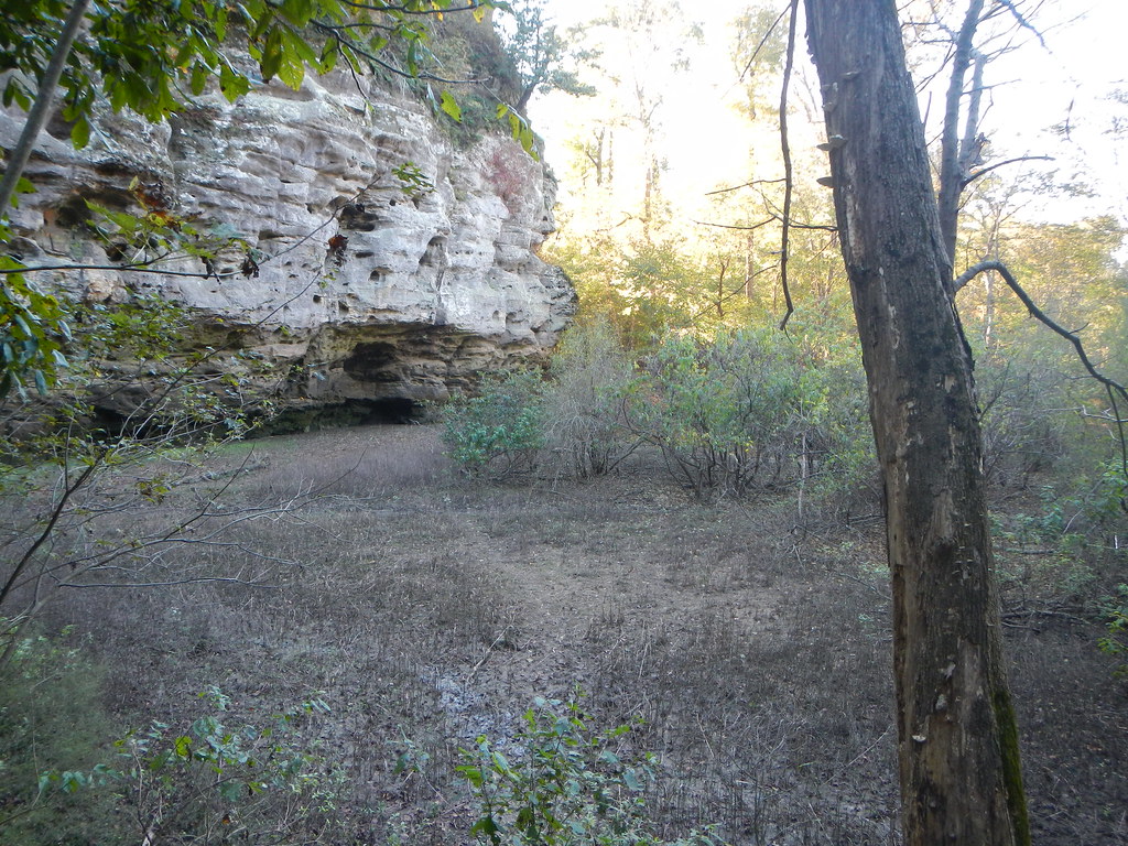 Photo: Curtis Abert, CC BY 2.0 (via Flickr)
Little Grand Canyon
~38 min drive
2.22-mile out-and-back trail in Illinois with 406 ft elevation gain.
 Photo: Curtis Abert, CC BY 2.0 (via Flickr)
Little Grand Canyon
~39 min drive
3.64-mile out-and-back trail in Illinois with 1,255 ft elevation gain
 Photo: USDAgov, Public Domain Dedication (CC0) (via Flickr)
Adt - Illinois (South) - J - Seg 3
~45 min drive
114.57-mile point-to-point trail in Illinois with 521 ft elevation gain.
 Photo: Curtis Abert, CC BY 2.0 (via Flickr)
Kinkaid Lake Trail
~28 min drive
29.44-mile out-and-back trail in Illinois with 3,607 ft elevation gain/loss.
 Photo: Gary Lee Todd, Ph.D., Public Domain Dedication (CC0) (via Flickr)
Fernlands Nature Trail
~41 min drive
0.88-mile out-and-back hike in Illinois with 112 ft elevation gain.
HIKE
Kinkade Lake North
~21 min drive
4.54-mile out-and-back trail at Kinkade Lake North in Illinois with 1,043 ft gain/loss
Photo: USDAgov, Public Domain Dedication (CC0) (via Flickr)River to River Segment 7 - Alto Pass to Devil's Backbone
~45 min drive
21.12-mile point-to-point trail from Alto Pass to Devil's Backbone in Illinois
HIKE
Pyramid Trail
Next door
1.06-mile out-and-back hike in Illinois with 75 ft elevation gain.
HIKE
Kinkaid Lake North
~21 min drive
2.87-mile out-and-back trail at Kinkaid Lake North in Illinois with 646 ft of elevation gain.
HIKE
Gum Ridge
~22 min drive
6.49-mile out-and-back trail in Illinois with 734 ft elevation gain
Map and trail data © OpenStreetMap contributors
