Grindstaff Trail
- 4.8 mi
- round trip
- 1,012 ft
- climb
- 823 ft
- high point
- Out and back
- route
- Mar–Jun, Sep–Nov
- best months
Caution today
Agency alerts are in effect for this area; weather is marginal · USFS, OpenWeather · checked 4 h ago
Is Grindstaff Trail open right now?
Closure in the area
There's a closure order in Shawnee National Forest. It doesn't name Grindstaff Trail, so check the source for the area it covers (3 listed).
Bell Smith Springs Recreation Area temporarily closed due to road work
Agency closure covering Shawnee National Forest · USFS · Shawnee National Forest
Boil Water Order at Pharaoh Campground at Garden of the Gods
Agency closure covering Shawnee National Forest · USFS · Shawnee National Forest
McClure Road Closed
Agency closure covering Shawnee National Forest · USFS · Shawnee National Forest
Lane reduction on bridge near IL Iron Furnace
Agency alert covering Shawnee National Forest · USFS · Shawnee National Forest
Failing Culvert on Oakwood Bottoms Road FSR # 786
Agency alert covering Shawnee National Forest · USFS · Shawnee National Forest
As of · Source: USFS · Shawnee National Forest. Agencies don't list every closure — check before you go.
Grindstaff Trail is a 4.8-mile out-and-back hike in the Hidden Springs Ranger District of Shawnee National Forest in southern Illinois. The route rises to 823 feet from a start near 751 feet, with a total climb of about 1,000 feet and a steepest stretch of 13% grade at about 0.45 miles from the trailhead. Spring and fall are the most comfortable times to go. Typical averages from a nearby weather station run to highs around 68°F in April and 69°F in October, while July and August average about 86°F. That station sits roughly 420 feet lower than the trail's high point, so temperatures up top run cooler. The trail is managed by the Forest Service and is open year-round, with the trip estimated to take about two hours. Horses are allowed, and the surface is natural, so plan for it to feel a bit rough in places. Bikes are not. Circle Rock and Snow Cone are both within half a mile, and Russell Cemetery is close by. Pharoah Campground -Garden Of The Gods is about 2.8 miles away.
Best time to go · Mar–Jun, Sep–Nov
Best time to visit Grindstaff Trail
Best months: March–June and September–November. Best months have typical highs of 55–85 °F, lows of 30 °F or warmer (32 °F where the station doesn't record snow), at most one snowy day and no more than 12 wet days.
Jan
41° / 22°
10 wet
Feb
46° / 25°
9 wet
Mar
56° / 33°
11 wet
Apr
68° / 43°
11 wet
May
75° / 53°
11 wet
Jun
83° / 62°
9 wet
Jul
86° / 65°
9 wet
Aug
86° / 63°
8 wet
Sep
80° / 55°
7 wet
Oct
69° / 43°
8 wet
Nov
56° / 33°
9 wet
Dec
45° / 26°
10 wet
Typical high / low (°F) and days with rain or snow, 1991–2020. Measured at Rosiclare 5nw, IL, 10 mi away at 400 ft. This station doesn't record snowfall. Source: NOAA NCEI U.S. Climate Normals 1991–2020.
Keep exploring — more trails worth the drive
 Photo: Curtis Abert, CC BY 2.0 (via Flickr)
Initial Tree
~3 min drive
2.66-mile out-and-back trail in Illinois with 441 ft gain
 Photo: Curtis Abert, CC BY 2.0 (via Flickr)
Indian Pt Gog
~5 min drive
3.36-mile loop trail in Illinois with 345 ft elevation gain.
 Photo: Curtis Abert, CC BY 2.0 (via Flickr)
Beaver Trail
~6 min drive
12-mile out-and-back hike in Illinois with 937 ft elevation gain.
HIKE
Adt - Illinois (South) - J - Seg 2
~2 min drive
A 117-mile point-to-point trail across southern Illinois.
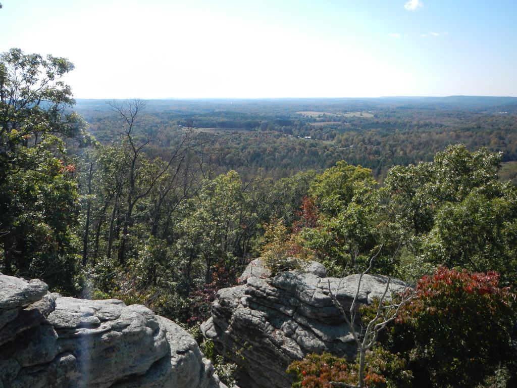 Photo: Curtis Abert, CC BY 2.0 (via Flickr)
Buzzard Hollow
~3 min drive
Buzzard Hollow is a 1.64-mile out-and-back trail in Illinois with 65 ft of elevation gain.
HIKE
Circle Rock
Next door
3.58-mile out-and-back trail in Illinois with 154 ft elevation gain.
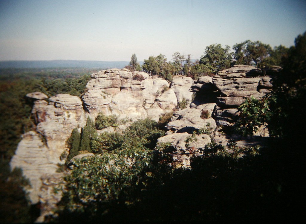 Photo: Gary Lee Todd, Ph.D., Public Domain Dedication (CC0) (via Flickr)
R-R Garden of the Gods Loop
~6 min drive
8.86-mile out-and-back out-and-back in Illinois with 851 ft gain.
Photo: Curtis Abert, CC BY 2.0 (via Flickr)High Knob Ranch
~3 min drive
2.74-mile out-and-back trail in Illinois with 224 ft gain and 351 ft loss.
HIKE
Snow Cone
Next door
Snow Cone is a 3.40-mile loop trail in Illinois with 724 feet of elevation gain.
Photo: Curtis Abert, CC BY 2.0 (via Flickr)Pounds Ridge
~3 min drive
3.63-mile out-and-back trail in Illinois with 622 ft gain and 691 ft loss.
