Deer Run Trail
- 4.0 mi
- round trip
- 495 ft
- climb
- 567 ft
- high point
- Out and back
- route
- Mar–Apr, Sep–Nov
- best months
Caution at last check
Agency alerts are in effect for this area; weather is good · USFS, OpenWeather · checked 16 h ago
Is Deer Run Trail open right now?
Closure in the area
There's a closure order in Shawnee National Forest. It doesn't name Deer Run Trail, so check the source for the area it covers (2 listed).
Boil Water Order at Pharaoh Campground at Garden of the Gods
Agency closure covering Shawnee National Forest · USFS · Shawnee National Forest
McClure Road Closed
Agency closure covering Shawnee National Forest · USFS · Shawnee National Forest
Lane reduction on bridge near IL Iron Furnace
Agency alert covering Shawnee National Forest · USFS · Shawnee National Forest
Failing Culvert on Oakwood Bottoms Road FSR # 786
Agency alert covering Shawnee National Forest · USFS · Shawnee National Forest
Trail Segment Closed - Lincoln Memorial
Agency alert covering Shawnee National Forest · USFS · Shawnee National Forest
As of · Source: USFS · Shawnee National Forest. Agencies don't list every closure — check before you go.
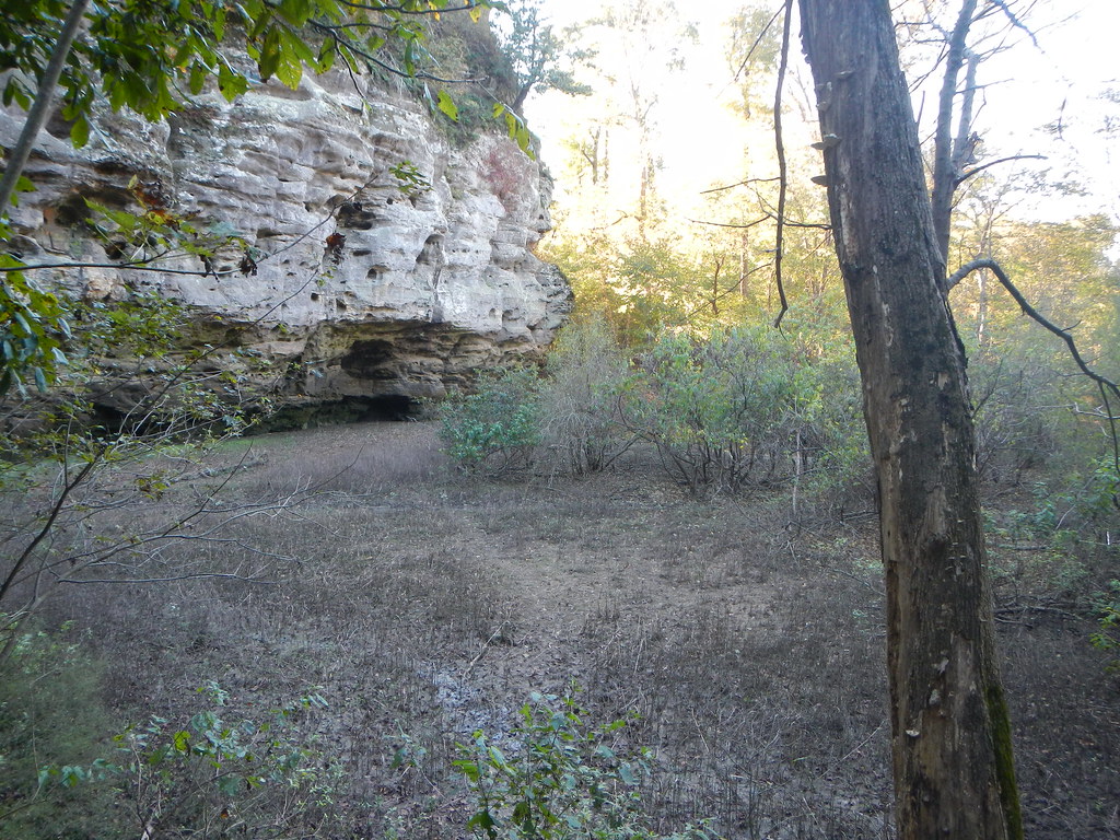
Deer Run Trail is a 4-mile out-and-back hike in Illinois's Shawnee National Forest, within the Mississippi Bluffs Ranger District. The trail rises about 160 feet from its start, with a total climb of roughly 495 feet for the round trip, and it is rated hard. The trailhead, Johnson Creek Deer Run Trailhead, is open year-round and takes about 1.5 hours to complete, with the steepest stretch coming at about 0.9 miles in. The trail is on natural surface, and horses are allowed, while bikes are not. It sits about 0.3 miles from Johnson Creek - Primitive and Johnson Creek Campground, and Gum Ridge and Kinkaid Lake Trail are both within half a mile. Climbers can find the 45 Degree Wall about 3.5 miles away.
- Johnson Creek - PrimitiveCamping0.3 mi
- Johnson Creek CampgroundCamping0.4 mi
- Gum RidgeHiking0.4 mi
- Kinkaid Lake TrailHiking0.5 mi
- Watering Hole (Johnson Creek)Hiking0.5 mi
- 45 Degree WallRock climbing3.5 mi
- Warm-Up WallRock climbing3.5 mi
- Cemetery WallRock climbing3.5 mi
Source: Roamze catalog (indexable pages within 10 miles, PostGIS distance)
 Little Grand CanyonHiking · ~20 min drivePhoto: Curtis Abert, CC BY 2.0 (via Flickr)
 King HollowHiking · ~30 min drivePhoto: Curtis Abert, CC BY 2.0 (via Flickr)
- 001M5Hiking · ~31 min drivePhoto: Curtis Abert, CC BY 2.0 (via Flickr)
 Kinkaid Lake TrailHiking · ~9 min drivePhoto: Curtis Abert, CC BY 2.0 (via Flickr)
 Fernlands Nature TrailHiking · ~29 min drivePhoto: Gary Lee Todd, Ph.D., Public Domain Dedication (CC0) (via Flickr)
 Little Grand CanyonHiking · ~21 min drivePhoto: Curtis Abert, CC BY 2.0 (via Flickr)
 Adt - Illinois (South) - J - Seg 3Hiking · ~23 min drivePhoto: USDAgov, Public Domain Dedication (CC0) (via Flickr)
 Inspiration PointHiking · ~30 min drivePhoto: Curtis Abert, CC BY 2.0 (via Flickr)
- Kinkade Lake NorthHiking · ~2 min drive
- River to River Segment 7 - Alto Pass to Devil's BackboneHiking · ~23 min drivePhoto: USDAgov, Public Domain Dedication (CC0) (via Flickr)
Best time to visit Deer Run Trail
Best months: March–April and September–November. Best months have typical highs of 55–85 °F, lows of 30 °F or warmer (32 °F where the station doesn't record snow), at most one snowy day and no more than 12 wet days.
Jan
42° / 25°
9 wet
Feb
47° / 28°
9 wet
Mar
57° / 36°
11 wet
Apr
68° / 45°
12 wet
May
77° / 55°
14 wet
Jun
86° / 64°
12 wet
Jul
88° / 67°
12 wet
Aug
87° / 65°
12 wet
Sep
81° / 56°
11 wet
Oct
70° / 45°
10 wet
Nov
56° / 35°
10 wet
Dec
46° / 28°
10 wet
Typical high / low (°F) and days with rain or snow, 1991–2020. Measured at Carbondale Southern Il Ap, IL, 14.9 mi away at 406 ft. This station doesn't record snowfall. Source: NOAA NCEI U.S. Climate Normals 1991–2020.
