Dark Sky Trail
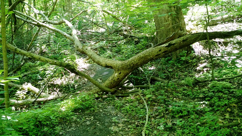
 Photo: bradipo, CC BY 2.0 (via Flickr)
- 1.0 mi
- one way
- 734 ft
- high point
- Point to point
- route
- Easy
- difficulty
- Apr–Oct
- best months
Dark Sky Trail is a short, easy hike in southern Illinois, about a mile from the town of Ellis. The route is nearly flat, with a one-way distance of about 0.97 miles and no elevation gain, so it works well as a quick outing or a stop on the way to something else. Late spring and early fall are the most comfortable times to go. Typical averages from a nearby weather station in Paxton show May highs around 73°F and September highs around 79°F, with lows in the low 50s. Dogs are allowed on a leash, and horses are not. The trail is a point-to-point route, so plan on a round trip of about 2 miles. For time on the water, Bluegrass Creek, a canoeing spot, lies about 7.6 miles away.
Local outfitters
- Kickapoo Adventures20 mi away
Not on Roamze yet. Their page has how to reach them.
Source: Roamze catalog (indexable pages within 10 miles, PostGIS distance)
Best time to visit Dark Sky Trail
Best months: April–October. Best months have typical highs of 55–85 °F, lows of 30 °F or warmer (32 °F where the station doesn't record snow), at most one snowy day and no more than 12 wet days.
Jan
32° / 15°
7 wet
Feb
37° / 19°
7 wet
Mar
49° / 29°
9 wet
Apr
62° / 39°
11 wet
May
73° / 51°
11 wet
Jun
82° / 60°
10 wet
Jul
84° / 62°
9 wet
Aug
83° / 60°
8 wet
Sep
79° / 52°
7 wet
Oct
65° / 41°
9 wet
Nov
50° / 31°
8 wet
Dec
37° / 21°
8 wet
Typical high / low (°F) and days with rain or snow, 1991–2020. Measured at Paxton 2 Wsw, IL, 10.9 mi away at 758 ft. This station doesn't record snowfall. Source: NOAA NCEI U.S. Climate Normals 1991–2020.


Map and trail data © OpenStreetMap contributors
