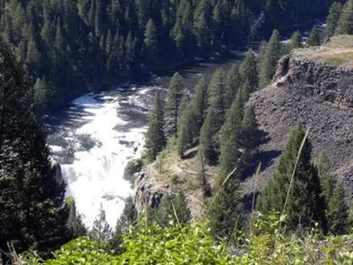
Upper Mesa Falls
 Photo: Zechariah Judy, CC BY 3.0 (via Wikimedia Commons)
- 5,636 ft
- elevation
- Forest Service
- managed by
- May–Oct
- best months
Is Upper Mesa Falls open right now?
No closures listed
The Forest Service lists no closures for Caribou-Targhee National Forest.
As of · Source: USFS · Caribou-Targhee National Forest. Agencies don't list every closure — check before you go.
Upper Mesa Falls is a waterfall in Idaho's Caribou-Targhee National Forest, within the Ashton/Island Park Ranger District. It sits at about 5,636 feet, roughly 4.7 miles from the town of Warm River, on land managed by the Forest Service. Summer is the most comfortable time to visit. Typical averages from a nearby weather station in Ashton show July and August highs around 83°F with lows near 50°F and only about four wet days a month, while winter highs stay near 29°F. The Mesa Nature Trail is about a mile away, and Grandview Campground is about 1.2 miles off. Sheep Falls lies about 3.6 miles away, and Warm River Cabin is about 4.1 miles away.
- Elevation
- 5,636 ft
- Land manager
- Forest Service
Elevation from USGS 3D Elevation Program terrain data (about 10 m resolution).
 Mesa Nature TrailHikingPhoto: Bas van Oorschot, CC BY-SA 3.0 (via Wikimedia Commons)1 mi
 Grandview Campground (Idaho)CampingPhoto: Recreation.gov (RIDB) / public domain1.2 mi
- Grandview CampgroundCamping1.3 mi
- Sheep FallsHiking3.6 mi
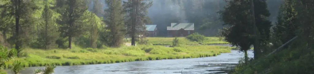 Warm River CabinCampingPhoto: Recreation.gov (RIDB) / public domain4.1 mi
 Trail CanyonHikingPhoto: cjennr76, CC BY 2.0 (via Flickr)4.1 mi
- Moose CreekHikingPhoto: cjennr76, CC BY 2.0 (via Flickr)4.1 mi
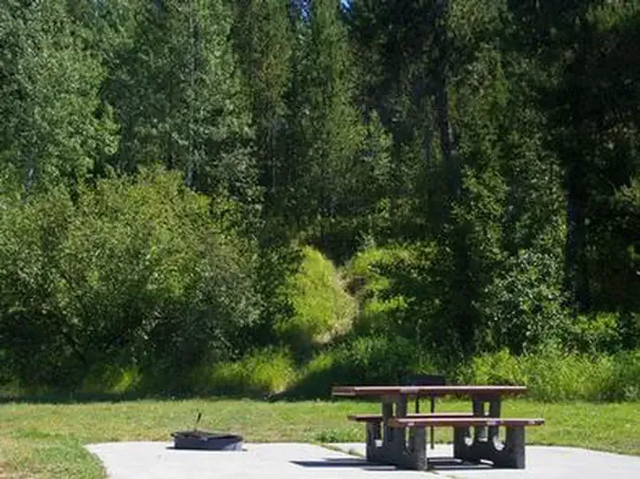 Warm RiverCampingPhoto: Recreation.gov (RIDB) / public domain4.8 mi
Source: Roamze catalog (indexable pages within 10 miles, PostGIS distance)
 Lower Mesa FallsWaterfall · ~2 min drivePhoto: Dschwen, CC BY-SA 4.0 (via Wikimedia Commons)
 Colonnade FallsWaterfall · ~33 min drivePhoto: Metrodyne, CC BY-SA 3.0 (via Wikimedia Commons)
 Union FallsWaterfall · ~39 min drivePhoto: Metrodyne, CC BY-SA 3.0 (via Wikimedia Commons)
 Mystic FallsWaterfall · ~52 min drivePhoto: Rklawton, CC BY-SA 3.0 (via Wikimedia Commons)
 Kepler CascadesWaterfall · ~54 min drivePhoto: Miguel Hermoso Cuesta, CC BY-SA 4.0 (via Wikimedia Commons)
 Moose FallsWaterfall · ~56 min drivePhoto: J. Schmidt, Public domain (via Wikimedia Commons)
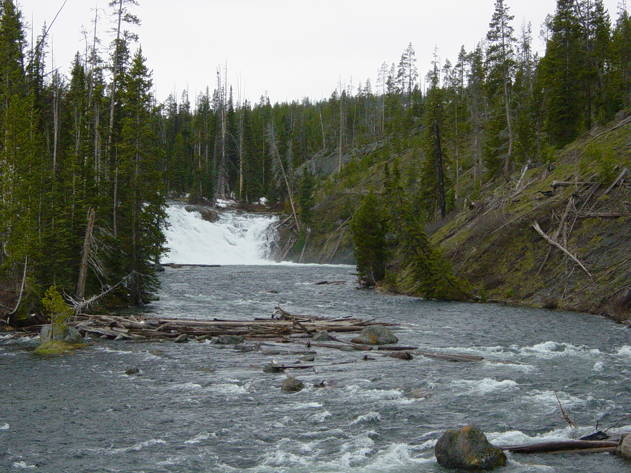 Lewis FallsWaterfall · ~60 min drivePhoto: No machine-readable author provided. MONGO assumed (based on copyright claims)., Public domain (via Wikimedia Commons)
 Cascades of the FireholeWaterfall · ~1h 5m drivePhoto: James St. John, CC BY 2.0 (via Wikimedia Commons)
 Firehole FallsWaterfall · ~1h 6m drivePhoto: WikiBunny11, CC BY-SA 3.0 (via Wikimedia Commons)
 Hidden FallsWaterfall · ~1h 10m drivePhoto: G. Edward Johnson, CC BY 3.0 (via Wikimedia Commons)
Best time to visit Upper Mesa Falls
Best months: May–October. Best months have typical highs of 55–85 °F, lows of 30 °F or warmer (32 °F where the station doesn't record snow), at most one snowy day and no more than 12 wet days.
Jan
29° / 13°
9 wet
Feb
33° / 17°
7 wet
Mar
42° / 25°
7 wet
Apr
54° / 31°
7 wet
May
65° / 40°
8 wet
Jun
73° / 46°
7 wet
Jul
83° / 51°
4 wet
Aug
83° / 48°
4 wet
Sep
73° / 42°
5 wet
Oct
57° / 32°
5 wet
Nov
40° / 23°
7 wet
Dec
29° / 15°
10 wet
Typical high / low (°F) and days with rain or snow, 1991–2020. Measured at Ashton 1n, ID, 10.2 mi away at 5,212 ft. This station doesn't record snowfall. Source: NOAA NCEI U.S. Climate Normals 1991–2020.
