Sheep Falls
About
Sheep Falls is a waterfall in the Ashton/Island Park Ranger District of Caribou-Targhee National Forest in Idaho, managed by the Forest Service. The nearest town is Warm River, about 6.5 miles away, and the falls sit at roughly 5,840 feet. Summer is the most comfortable time to visit. Typical averages from a nearby weather station in Ashton show July and August highs around 83°F with lows near 50°F and only about four wet days a month. Winter is cold, with January highs near 29°F. Several other spots lie within a short drive. The Big Bend Ridge Trail and Mesa Nature Trail are both about 4 miles away, and Grandview Campground is about 4.3 miles off. Warm River campground is about 6.8 miles away.
Waterfall Facts
Elevation
5,840 ft
Land manager
Forest Service
Elevation from USGS 3D Elevation Program terrain data (about 10 m resolution).
Location
Sheep Falls
Idaho
Name and location: U.S. Geological Survey, Geographic Names Information System (GNIS). Elevation: USGS 3D Elevation Program. View the GNIS record.
Facts about this place
When to go
Best time to go: May–Sep. The mildest months here, with typical highs of 65–83°F and lows of 40–51°F.
Typical monthly averages (not a forecast) from the Ashton 1n, ID weather station, 9.4 mi away. High / low in °F.
- Jan29° high13° low
- Feb33° high17° low
- Mar42° high25° low
- Apr54° high31° low
- May65° high40° low
- Jun73° high46° low
- Jul83° high51° low
- Aug83° high48° low
- Sep73° high42° low
- Oct57° high32° low
- Nov40° high23° low
- Dec29° high15° low
Where it is
- Ashton/Island Park Ranger District · Ranger district
- Caribou-Targhee National Forest · National forest
- Nearest town
- Warm River, Idaho · 6.5 mi
- Managed by
- Forest Service
Source: USFS EDW boundaries; USGS PAD-US 4.1; USGS GNIS populated places
Conditions
Active alerts for Caribou-Targhee National Forest as of Oct 9, 2026:
04-15-23-210 - Grandview Boat Ramp Order
information · posted Aug 24, 2026
04-15-23-209 - Big Springs Area Closure
information · posted Aug 24, 2026
04-15-23-208 - Big Hole Summer Travel
information · posted Aug 24, 2026
04-15-23-207 - South Fork Snake River Restriction
information · posted Aug 24, 2026
04-15-23-204 - Crestline Trailhead Stay Limit
information · posted Aug 24, 2026
04-15-23-203 - Construction Debris Wood Pallets
information · posted Aug 24, 2026
04-15-23-202 - Wilderness Camping (Grazing)
information · posted Aug 24, 2026
04-15-23-201 - Traffic and Alcohol
information · posted Aug 24, 2026
04-15-23-211 - Sawtell Peak Road Closure
information · posted Aug 24, 2026
04-15-23-213 - Targhee Common Loon
information · posted Aug 24, 2026
Source: USFS forest alerts
Nearby
- BIG BEND RIDGE TRAILHiking3.9 mi
 Mesa Nature TrailHikingPhoto: Bas van Oorschot, CC BY-SA 3.0 (via Wikimedia Commons)4 mi
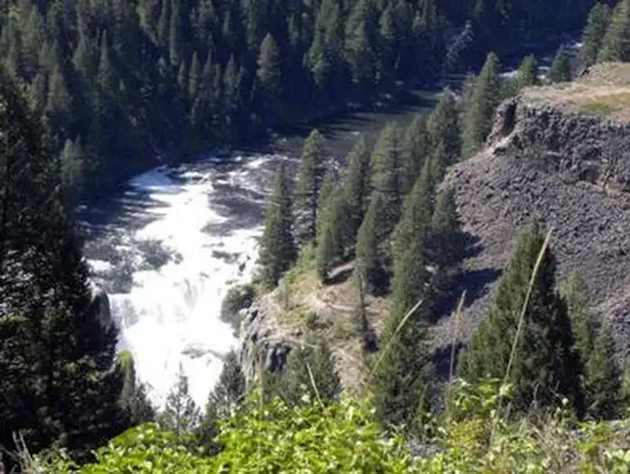 Grandview Campground (Idaho)CampingPhoto: Recreation.gov (RIDB) / public domain4.3 mi
- Grandview CampgroundCamping4.4 mi
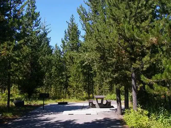 Riverside (id - Targhee)CampingPhoto: Recreation.gov (RIDB) / public domain5.6 mi
- Railroad Grade ConnectorHiking6.8 mi
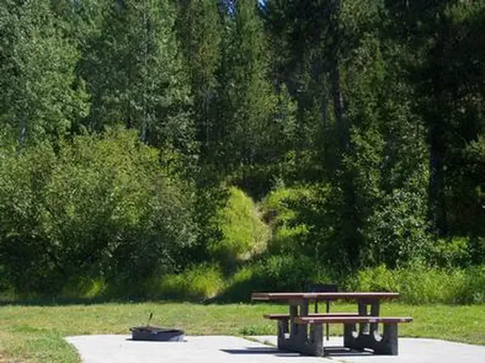 Warm RiverCampingPhoto: Recreation.gov (RIDB) / public domain6.8 mi
- Railroad Right-Of-WayHiking6.9 mi
Source: Roamze catalog (indexable pages within 10 miles, PostGIS distance)
Is Sheep Falls open right now?
Closure in the area
There's a closure order in Caribou-Targhee National Forest. It doesn't name Sheep Falls, so check the source for the area it covers.
04-15-26-302 Tunnel Fire Closure
Agency closure covering Caribou-Targhee National Forest · Order 04-15-26-302 · USFS · Caribou-Targhee National Forest
As of · Source: USFS · Caribou-Targhee National Forest. Agencies don't list every closure — check before you go.
Best time to visit Sheep Falls
Best months: May–October. Best months have typical highs of 55–85 °F, lows of 30 °F or warmer (32 °F where the station doesn't record snow), at most one snowy day and no more than 12 wet days.
Jan
29° / 13°
9 wet
Feb
33° / 17°
7 wet
Mar
42° / 25°
7 wet
Apr
54° / 31°
7 wet
May
65° / 40°
8 wet
Jun
73° / 46°
7 wet
Jul
83° / 51°
4 wet
Aug
83° / 48°
4 wet
Sep
73° / 42°
5 wet
Oct
57° / 32°
5 wet
Nov
40° / 23°
7 wet
Dec
29° / 15°
10 wet
Typical high / low (°F) and days with rain or snow, 1991–2020. Measured at Ashton 1n, ID, 9.4 mi away at 5,212 ft. The station sits about 600 ft lower than this place, so expect it a little cooler here. This station doesn't record snowfall. Source: NOAA NCEI U.S. Climate Normals 1991–2020.
