Railroad Right-Of-Way
- 6.0 mi
- round trip
- 283 ft
- climb
- 5,590 ft
- high point
- Out and back
- route
- May–Oct
- best months
Is Railroad Right-Of-Way open right now?
No closures listed
The Forest Service lists no closures for Caribou-Targhee National Forest.
As of · Source: USFS · Caribou-Targhee National Forest. Agencies don't list every closure — check before you go.
The Railroad Right-Of-Way is a 6-mile out-and-back hike in Idaho's Caribou-Targhee National Forest, within the Ashton/Island Park Ranger District. The trail rises from about 5,300 feet to about 5,590 feet, with a total elevation gain of 283 feet. It is a hard route, and the Forest Service manages the land. The trail is natural-surface and open to both horses and bikes. It is not an accessible trail. The Bear Gulch Trailhead is the parking for the route, and the trail is typically open from May 15 through October 31. Summer is the most comfortable time to go. Typical averages from a nearby weather station in Ashton show July and August highs around 83°F with lows near 50°F and only about four wet days a month. Winter is cold, with January highs near 29°F. Warm River campground sits just 0.2 miles away, and the Railroad Grade Connector is 0.3 miles off. Grey Owl Trail is about 2.6 miles away, and Grandview Campground is about 3.7 miles away.
Local outfitters
- Swift Creek Outfitters45 mi away
Not on Roamze yet. Their page has how to reach them.
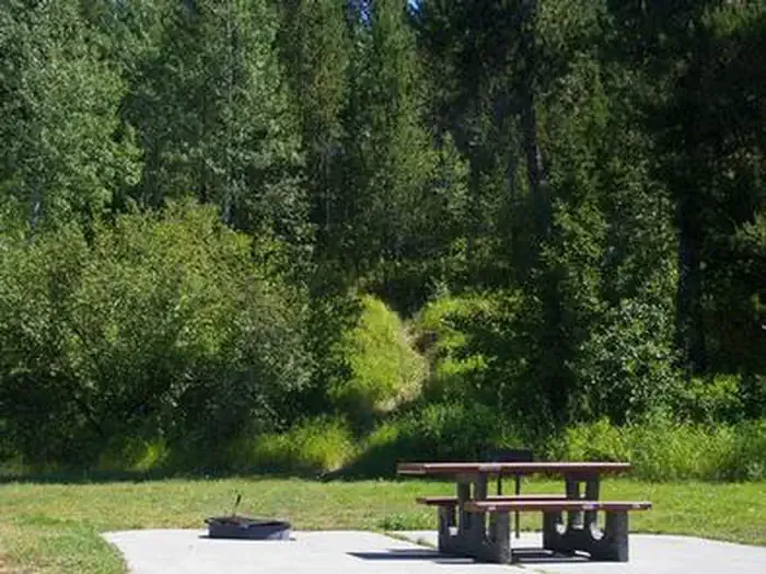 Warm RiverCampingPhoto: Recreation.gov (RIDB) / public domain0.2 mi
- Railroad Grade ConnectorHiking0.3 mi
- Grey Owl TrailHiking2.6 mi
- Grandview CampgroundCamping3.7 mi
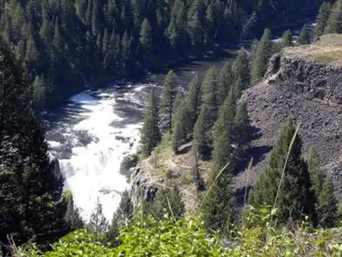 Grandview Campground (Idaho)CampingPhoto: Recreation.gov (RIDB) / public domain3.7 mi
 Mesa Nature TrailHikingPhoto: Bas van Oorschot, CC BY-SA 3.0 (via Wikimedia Commons)3.8 mi
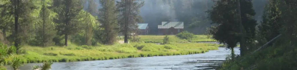 Warm River CabinCampingPhoto: Recreation.gov (RIDB) / public domain6.6 mi
 Trail CanyonHikingPhoto: cjennr76, CC BY 2.0 (via Flickr)6.6 mi
Source: Roamze catalog (indexable pages within 10 miles, PostGIS distance)
- Mesa Nature TrailHiking · ~7 min drivePhoto: Bas van Oorschot, CC BY-SA 3.0 (via Wikimedia Commons)
- Moose CreekHiking · ~11 min drivePhoto: cjennr76, CC BY 2.0 (via Flickr)
- Cave Falls Trailhead (9K2)Hiking · ~26 min drive
- BIG BEND RIDGE TRAILHiking · ~14 min drive
- South Boundary Trail: Bechler RS-Grassy Lake RoadHiking · ~23 min drive
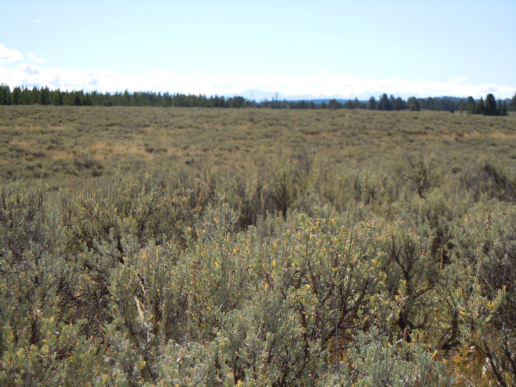 North Gate PathHiking · ~28 min drivePhoto: Matt Lavin, CC BY-SA 2.0 (via Flickr)
- Trail CanyonHiking · ~11 min drivePhoto: cjennr76, CC BY 2.0 (via Flickr)
- Bechler Backcountry OfficeHiking · ~23 min drive
- Boundary Creek TrailHiking · ~24 min drive
- RIPLEY BUTTE TRAILHiking · ~25 min drive
Best time to visit Railroad Right-Of-Way
Best months: May–October. Best months have typical highs of 55–85 °F, lows of 30 °F or warmer (32 °F where the station doesn't record snow), at most one snowy day and no more than 12 wet days.
Jan
29° / 13°
9 wet
Feb
33° / 17°
7 wet
Mar
42° / 25°
7 wet
Apr
54° / 31°
7 wet
May
65° / 40°
8 wet
Jun
73° / 46°
7 wet
Jul
83° / 51°
4 wet
Aug
83° / 48°
4 wet
Sep
73° / 42°
5 wet
Oct
57° / 32°
5 wet
Nov
40° / 23°
7 wet
Dec
29° / 15°
10 wet
Typical high / low (°F) and days with rain or snow, 1991–2020. Measured at Ashton 1n, ID, 8 mi away at 5,212 ft. This station doesn't record snowfall. Source: NOAA NCEI U.S. Climate Normals 1991–2020.

