Lower Penstemon
Campground
Campground · 1.0 mi from the trail
Alert in the area
The Forest Service lists 4 alerts for Sawtooth National Forest.
Paradise Prescribed Burn Restricted Access
Agency alert covering Sawtooth National Forest · USFS · Sawtooth National Forest
Grandjean Area, Road, and Trail Closure
Agency alert covering Sawtooth National Forest · Order 0414-04-165 · USFS · Sawtooth National Forest
Over-Snow Vehicle and Bicycle Prohibitions
Agency alert covering Sawtooth National Forest · Order 0414-00-028 · USFS · Sawtooth National Forest
Occupancy and Use - Food Storage
Agency alert covering Sawtooth National Forest · Order 0414-04-143 · USFS · Sawtooth National Forest
As of · Source: USFS · Sawtooth National Forest. Agencies don't list every closure — check before you go.
Thompson Creek Loop is a 5.6-mile out-and-back cross-country ski route in Idaho's Sawtooth National Forest, within the Minidoka Ranger District. The Forest Service manages the land, and the trail rises about 300 feet from a low point of 6,833 feet to a high of 7,091 feet. The route is rated moderate, and the climb is spread across the full length of the loop. For skiers, the trail's shape and elevation make it a straightforward outing that pairs well with other stops in the area. Ross Falls (Interp. Trail) lies about half a mile away, and Wagonwheel Springs Loop is roughly 0.7 miles off. For an overnight stay, Lower Penstemon and Upper Penstemon Campground are each about a mile from the trail.
Lower Penstemon
Campground
Oakley Valley Historical Museum
Museum
Places © OpenStreetMap contributors, Places © Overture Maps Foundation
More in OakleyNot on Roamze yet. Their page has how to reach them.
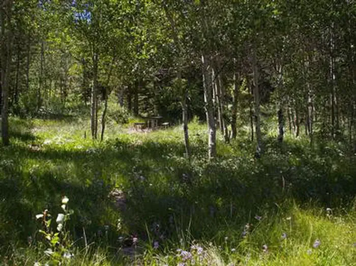 Lower PenstemonCampingPhoto: Recreation.gov (RIDB) / public domain1 mi
Source: Roamze catalog (indexable pages within 10 miles, PostGIS distance)
