Mike Harris
Campground
Campground · 5.4 mi from the trail
Teton Reserve Nordic Trail is a cross-country ski route in Idaho, about 0.45 miles long and rated easy. It sits roughly a mile from the town of Chapin, and the trail is a flat loop with no elevation gain. The route starts and ends at nearly the same elevation, around 6,160 feet, with a slight drop of about 23 feet over the course of the loop. Winter is the natural season for this trail. Typical averages from the nearby Driggs weather station show January highs around 33°F with lows near 9°F, while July highs reach about 83°F. The station sits at a similar elevation to the trail, so those figures are a fair guide to conditions here. Several other spots lie within a short drive. Fox Creek and Game Creek are hikes in Wyoming about 4 miles away, and Darby Canyon offers climbing about 5 miles off. For an overnight stay, Mike Harris campground is about 5.4 miles away.
Mike Harris
Campground
Freedom Dogs
Restaurant
Places © OpenStreetMap contributors, Places © Overture Maps Foundation
More in JacksonNot on Roamze yet. Their page has how to reach them.
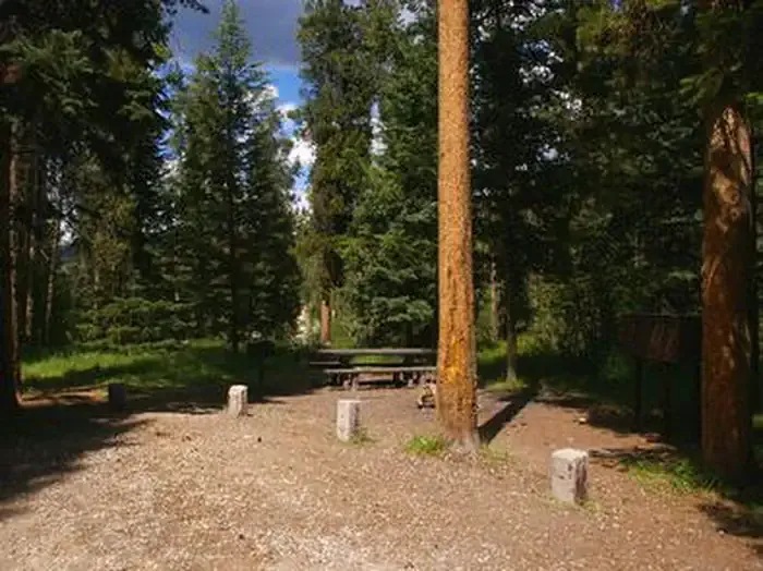 Mike HarrisCampingPhoto: Recreation.gov (RIDB) / public domain5.4 mi
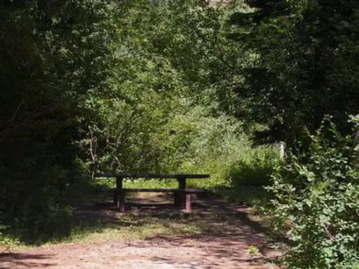 Trail CreekCampingPhoto: Recreation.gov (RIDB) / public domain7 mi
Source: Roamze catalog (indexable pages within 10 miles, PostGIS distance)
 Jackson Hole Mountain ResortDownhill skiing · ~22 min drivePhoto: Enricokamasa, Public domain (via Wikimedia Commons)
Also worth it near here
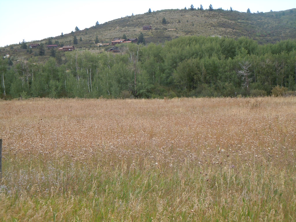 CampgroundHiking · ~10 min drivePhoto: Matt Lavin, CC BY-SA 2.0 (via Flickr)
 Taylor MountainMountain biking · ~10 min drivePhoto: Matt Berger
https://www.inaturalist.org/people/sheriff_woody_pct, CC BY 4.0 (via Wikimedia Commons)
Best months: May–September. Best months have typical highs of 55–85 °F, lows of 30 °F or warmer (32 °F where the station doesn't record snow), at most one snowy day and no more than 12 wet days.
Jan
33° / 9°
Feb
36° / 12°
Mar
44° / 20°
Apr
54° / 28°
May
65° / 35°
Jun
73° / 41°
Jul
83° / 48°
Aug
82° / 46°
Sep
73° / 38°
Oct
58° / 29°
Nov
44° / 19°
Dec
33° / 11°
Typical high / low (°F) and days with rain or snow, 1991–2020. Measured at Driggs, ID, 6.9 mi away at 6,120 ft. This station doesn't record snowfall. Source: NOAA NCEI U.S. Climate Normals 1991–2020.
Map and trail data © OpenStreetMap contributors
