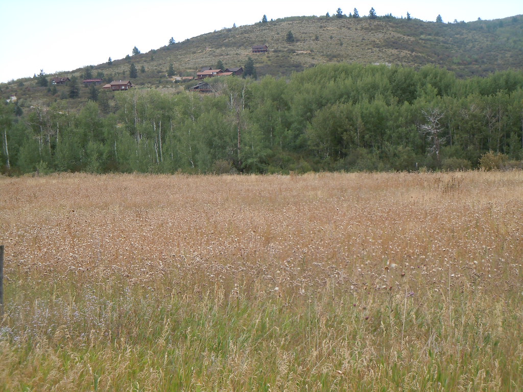
Mike Harris
Campground
Campground · 4.0 mi from the trail
No closures listed
The Forest Service lists no closures for Caribou-Targhee National Forest.
As of · Source: USFS · Caribou-Targhee National Forest. Agencies don't list every closure — check before you go.
Sheep Driveway is an 11.03-mile trail in the Mike Harris Trailhead system in Idaho, gaining 4,706 feet of elevation. The trail follows a driveway route through the trailhead area.
Mike Harris
Campground
Flat Creek Overlook
Viewpoint
Places © OpenStreetMap contributors
More in JacksonNot on Roamze yet. Their page has how to reach them.
 Photo: Matt Berger
https://www.inaturalist.org/people/sheriff_woody_pct, CC BY 4.0 (via Wikimedia Commons)
Mail Cabin
~9 min drive
A 3.5-mile trail at Mike Harris Trailhead in Wyoming's mountain biking terrain.
RIDE
Black Canyon Trail
~13 min drive
Hard singletrack out and back in Wyoming, 0.54 miles with 555 ft gain.
Photo: Matt Berger
https://www.inaturalist.org/people/sheriff_woody_pct, CC BY 4.0 (via Wikimedia Commons)Taylor Mountain
~9 min drive
Quick 0.279-mile trail at Mike Harris Trailhead in Wyoming.
RIDE
North Fork Palisades Creek
Next door
5.27-mile trail in Idaho's Mike Harris Trailhead system, 2,403 ft elevation gain
RIDE
Fogg Hill/n. Fork Palisades
Next door
1.24-mile trail at Mike Harris Trailhead with 112 ft gain
RIDE
Fogg Hill
~2 min drive
2.84-mile trail at Mike Harris Trailhead with 953 ft elevation gain
RIDE
Pole Canyon Ridge 174
~2 min drive
2.74-mile trail with 1,127 ft elevation gain in Idaho
RIDE
Elbow Fork
~3 min drive
Elbow Fork is a 1.77-mile trail in Idaho with 1,233 ft of elevation gain.
RIDE
East Fork Palisades Creek
~3 min drive
2.37-mile trail at Mike Harris Trailhead with 912 ft elevation gain
RIDE
Mikesell Canyon Spur
~4 min drive
0.67-mile trail in Idaho's Mike Harris Trailhead system with 173 ft elevation gain.
Map and trail data © OpenStreetMap contributors