Robie Creek Park Group Shelter
Campground
The next 6 weekends are full on Recreation.gov
Closure in the area
There's a closure order in Boise National Forest. It doesn't name #3 Watchman, so check the source for the area it covers.
UPDATED Sept. 19 - Crooked Fire Area, Road, and Trail Closure
Agency closure covering Boise National Forest · Order 0402-03-140 · USFS · Boise National Forest
Lava Fire Road Closure
Agency alert covering Boise National Forest · Order 0402-06-84 · USFS · Boise National Forest
As of · Source: USFS · Boise National Forest. Agencies don't list every closure — check before you go.
The #3 Watchman is a 0.41-mile out-and-back trail in Idaho rated as moderate difficulty with 40 feet of elevation gain. The mixed surface route follows an intermediate / blue square IMBA rating.
Robie Creek Park Group Shelter
Campground
 If it rainsTamanoeconomico, CC BY-SA 4.0 · Wikimedia Commons
Joseph Bown House
Museum
Places © OpenStreetMap contributors · Photos: Tamanoeconomico, CC BY-SA 4.0 (commons)
More in Idaho CityNot on Roamze yet. Their page has how to reach them.
 Prospect TrailHikingPhoto: Matt Lavin, CC BY-SA 2.0 (via Flickr)0.1 mi
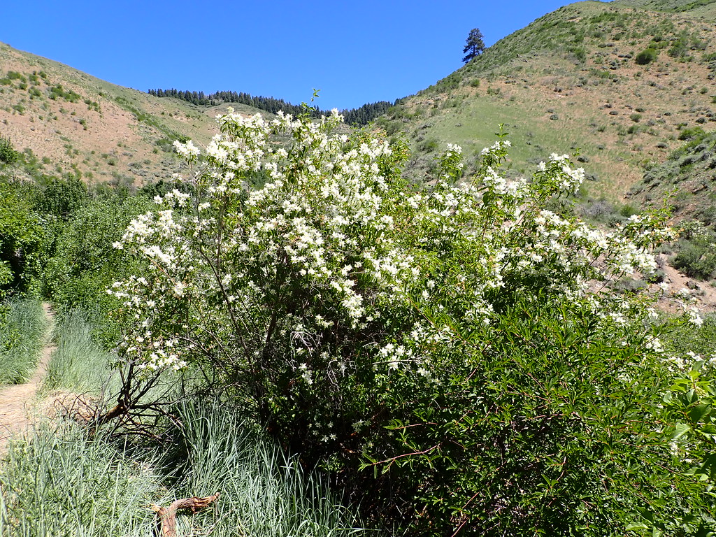 Orchard GulchHikingPhoto: Matt Lavin, CC BY-SA 2.0 (via Flickr)0.4 mi
Source: Roamze catalog (indexable pages within 10 miles, PostGIS distance)
Best months: May–June and September–October. Best months have typical highs of 55–85 °F, lows of 30 °F or warmer (32 °F where the station doesn't record snow), at most one snowy day and no more than 12 wet days.
Jan
37° / 24°
13 wet · 9 snow
Feb
43° / 27°
12 wet · 6 snow
Mar
51° / 32°
13 wet · 5 snow
Apr
58° / 36°
11 wet · 3 snow
May
68° / 43°
11 wet · 1 snow
Jun
77° / 49°
7 wet
Jul
88° / 58°
4 wet
Aug
86° / 58°
3 wet
Sep
76° / 50°
5 wet
Oct
61° / 40°
7 wet · 1 snow
Nov
46° / 30°
12 wet · 5 snow
Dec
37° / 23°
14 wet · 9 snow
Typical high / low (°F) and days with rain or snow, 1991–2020. Measured at Boise 7 N, ID, 8.1 mi away at 3,885 ft. The station sits about 700 ft lower than this place, so expect it a little cooler here. Source: NOAA NCEI U.S. Climate Normals 1991–2020.
Map and trail data © OpenStreetMap contributors

