Loading…

Free — you'll pick up right here.
Watch this trail
Sign up to watch it — saving subscribes you to gate, closure and report changes.
Idaho
33.1 mi
Distance
4,334 ft
Gain
Agency alerts are in effect for this area; weather is good
2 factors · 2 sources
Newest 1 min ago · oldest 4 d
caution: Agency alerts
2 active alerts in Bitterroot National Forest; most severe: OPEN: Lost Horse Road, Lick Creek Road, 711 Road, 75 Road are open. FS Road 720 Remains Closed
USFS4 d ago
clear: Weather
Clear, high 75°F / low 53°F, 0% precip — 100/100 for hike
OpenWeather1 min ago
Been out here in the last few days? One report keeps this current for everyone.
Why you'll love it
Whitecap Creek
AI-suggested draft · review before you go
No permit or access details on file for this trail — check with the local land manager before you go.
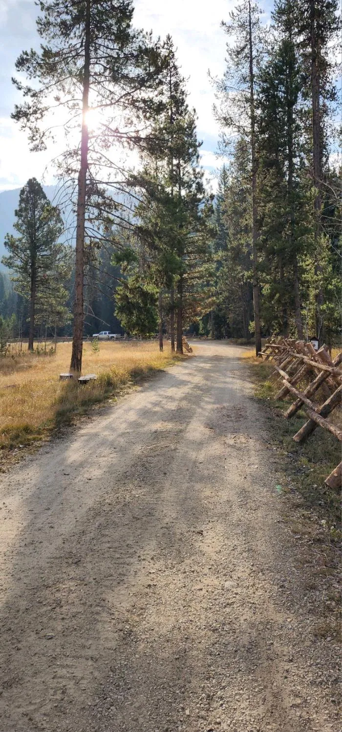
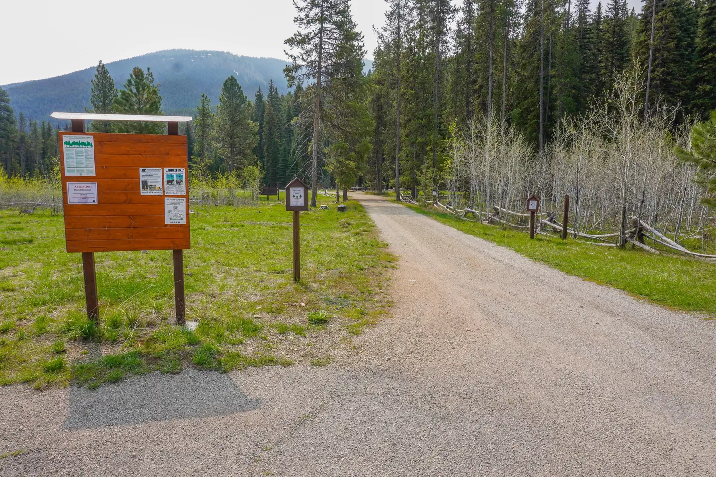
Whitecap Creek is a challenging 33-mile backcountry trail that traverses remote Idaho wilderness with significant elevation gain. This extended journey follows creek drainages and alpine terrain, offering solitude and expansive views for experienced hikers prepared for multi-day travel. The trail's length and elevation profile make it ideal for those seeking a serious mountain adventure away from crowds.
Canyon Creek
~0 min drive
Remote 27.5-mile backcountry route with 3,700 ft gain through Idaho canyons.
Forest Divide
~13 min drive
Accessible forest hike with steady elevation gain and diverse woodland scenery.
Boulder Lake
~19 min drive
Easy 2.16-mile hike to a scenic alpine lake with minimal elevation gain.
Vance Point
~1 min drive
Moderate 6.92-mile hike with 2,732 ft gain to scenic Vance Point.
Spot-Three Prong
~23 min drive
Easy 4.5-mile walk with minimal elevation gain in Idaho.
Scimitar-Cayuse Mountain
~19 min drive
Short, easy ridgeline hike with modest elevation gain near Scimitar-Cayuse peaks.
Cooper Point
~5 min drive
Challenging 16-mile alpine trek with 3,823 ft elevation gain near Cooper Point.
Kim Creek
~24 min drive
Moderate 11.36-mile creek drainage hike with 1,982 ft elevation gain.
Soda Springs Creek
~23 min drive
Easy creek-side walk with gentle elevation gain near Soda Springs.
Mount George
~6 min drive
Long, strenuous alpine hike with significant elevation gain and remote mountain views.