Chemeketan Cg
Campground
Campground · 4.9 mi from the trail
Caution at last check
Agency alerts are in effect for this area; weather is marginal · USFS, OpenWeather · checked 18 h ago
Alert in the area
The Forest Service lists 4 alerts for Sawtooth National Forest.
Paradise Prescribed Burn Restricted Access
Agency alert covering Sawtooth National Forest · USFS · Sawtooth National Forest
Grandjean Area, Road, and Trail Closure
Agency alert covering Sawtooth National Forest · Order 0414-04-165 · USFS · Sawtooth National Forest
Over-Snow Vehicle and Bicycle Prohibitions
Agency alert covering Sawtooth National Forest · Order 0414-00-028 · USFS · Sawtooth National Forest
Occupancy and Use - Food Storage
Agency alert covering Sawtooth National Forest · Order 0414-04-143 · USFS · Sawtooth National Forest
As of · Source: USFS · Sawtooth National Forest. Agencies don't list every closure — check before you go.
West Fork Big Smoky Creek is a 4.3-mile out-and-back hike in Idaho's Sawtooth National Recreation Area, part of the Sawtooth National Forest. The Forest Service manages the land, and the trail starts at about 8,692 feet, rising to a high point of 8,719 feet before returning to the same elevation. The climb is back-loaded, with the steepest stretch at about 2 miles in, where the grade reaches 24 percent. The total gain and loss are each about 1,605 feet, and the route is rated moderate. The trip takes about 2 hours. Plan for the steepest part of the climb in the middle of the route, and note that the trail is a round trip, so the 2.15-mile figure is one way. Nearby, Mule Creek and Vienna Creek Trail are both within about 4 miles. Chemeketan Campground is about 4.9 miles away, and Big Smoky Creek, a canoeing route, is about 7 miles off.
Chemeketan Cg
Campground
Sun Valley Museum of Art
Museum
Places © OpenStreetMap contributors, Places © Overture Maps Foundation
More in KetchumNot on Roamze yet. Their page has how to reach them.
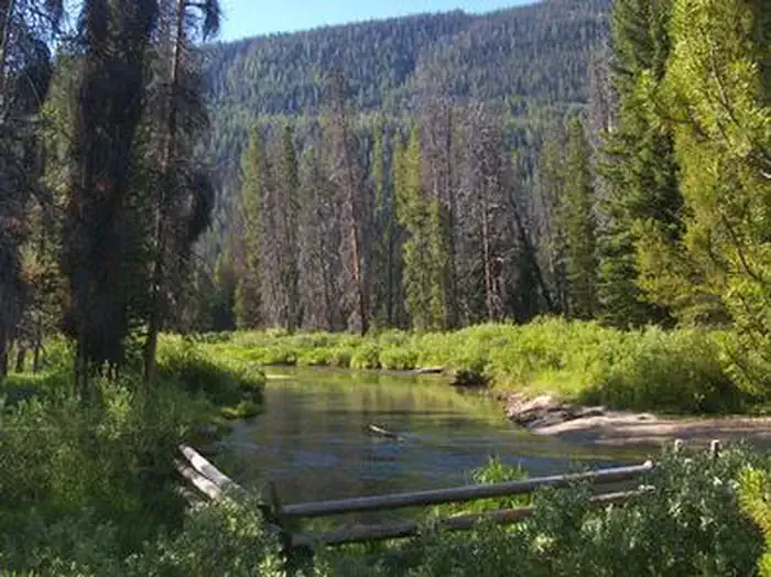 Alturas Lake InletCampingPhoto: Recreation.gov (RIDB) / public domain7.8 mi
Source: Roamze catalog (indexable pages within 10 miles, PostGIS distance)
 Titus LakeHiking · ~14 min drivePhoto: U.S. Forest Service employees, Public domain (via Wikimedia Commons)
 Old Toll Road TrailHiking · ~13 min drivePhoto: J. Crane, Public domain (via Wikimedia Commons)

