Van Dorn Canyon
- 5.6 mi
- round trip
- 3,048 ft
- climb
- 8,769 ft
- high point
- Out and back
- route
Caution at last check
Agency alerts are in effect for this area; weather is marginal · USFS, OpenWeather · checked 12 h ago
Is VAN DORN CANYON open right now?
Alert in the area
The Forest Service lists an alert for Salmon-Challis National Forest.
Stoddard Bridge Construction Closure
Agency alert covering Salmon-Challis National Forest · Order 0413-07-17 · USFS · Salmon-Challis National Forest
As of · Source: USFS · Salmon-Challis National Forest. Agencies don't list every closure — check before you go.
Van Dorn Canyon is a hard out-and-back hike in Idaho's Salmon-Challis National Forest, within the Lost River Ranger District. The route is about 11 miles long, with a total elevation gain of 3,048 feet over the course of the trip. The climb is back-loaded, meaning the steepest parts come later, and the steepest grade on the trail reaches 32 percent at about 2.1 miles in. The high point of the hike is 8,769 feet, and the starting elevation is 8,715 feet. That puts the trail in high country, and the Forest Service manages the surrounding land. The hike takes about five hours to complete. For anyone planning a longer stay, Sands Canyon Trail and Mike's Trail are both within about three miles. Farther afield, the Little Lost River offers canoeing about 7 miles away, and Pass Creek Narrows Camping Area & Picnic Site is about 7 miles off.
- MIKES TRAILHiking2.6 mi
- SANDS CANYON TRAILHiking3 mi
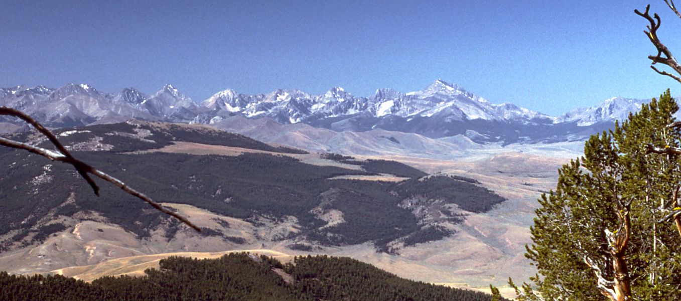 Little Lost RiverCanoeingPhoto: G. Thomas at English Wikipedia, Public domain (via Wikimedia Commons)6.9 mi
- Pass Creek CanyonRock climbing7.1 mi
- Pass Creek Narrows Camping Area & Picnic SiteCamping7.2 mi
- Pass CreekCanoeing7.7 mi
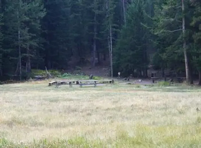 Loristica Group CampgroundCampingPhoto: Recreation.gov (RIDB) / public domain8.8 mi
- The Left SideRock climbing9.5 mi
Source: Roamze catalog (indexable pages within 10 miles, PostGIS distance)
 BLACK CANYONHiking · ~29 min drivePhoto: Matt Lavin, CC BY-SA 2.0 (via Flickr)
- SANDS CANYON TRAILHiking · ~5 min drive
- NORTH FORK DEER CREEKHiking · ~8 min drive
- NORTH CREEK TRAILHiking · ~24 min drive
- MIKES TRAILHiking · ~4 min drive
- BEAR-WET CREEK TRAILHiking · ~14 min drive
- Bear Creek LakeHiking · ~16 min drive
- BLACKTAIL/MUD LAKEHiking · ~12 min drive
- MUD LAKE CANYONHiking · ~10 min drive
- Long Lost-Wet CreekHiking · ~17 min drive
