
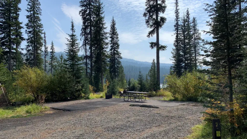
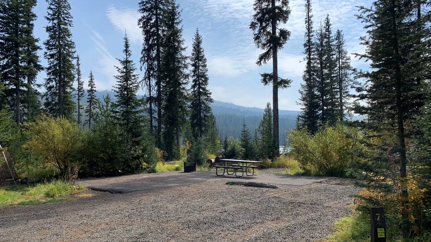
Black Bear RV Park
Hiking business nearby (~21 mi away) — hasn't claimed their Roamze page yet
Free — you'll pick up right here.
Watch this trail
Sign up to watch it — saving subscribes you to gate, closure and report changes.
Idaho
8.3 mi
Distance
430 ft
Gain
We won't guess. Here is exactly what we do and don't know.
What we do know
Inside Payette National Forest
2 managing-area boundaries mapped — agency alerts for them feed this page automatically.
Boundary data
What's missing
No access route mapped
We don't yet know which road reaches this trailhead, so we can't tell you if it's gated.
Nobody's filed a report here yet — be the first.
Why you'll love it
Upper Hazard/Hard Creek Basin Trail
AI-suggested draft · review before you go
The Upper Hazard/Hard Creek Basin Trail offers a moderate day hike through the scenic backcountry of central Idaho, combining gentle elevation gain with access to pristine alpine basin terrain. This trail showcases the transition from forested slopes to open high-country meadows, providing hikers with diverse ecosystems and expansive views typical of the Idaho wilderness managed by the Forest Service.
Big Hazard Lake
~2 min drive
Easy 0.58-mile walk to a scenic alpine lake with minimal elevation gain.
Kennith Lake
~3 min drive
Easy 0.35-mile walk to a scenic alpine lake with minimal elevation gain.
Serene Lake
~3 min drive
Scenic 3.2-mile alpine lake hike with steady elevation gain.
Scribner Lake
~7 min drive
Easy short hike to a scenic alpine lake near Scribner Lake, Idaho.
Little French Creek Meadow
~4 min drive
Moderate 7.86-mile alpine meadow hike with 1,936 ft elevation gain.
Grassy Mountain Trail
~4 min drive
Moderate 6.3-mile climb to Grassy Mountain summit with forest and meadow views.
Duck Lake
~9 min drive
Easy 1.7-mile walk to a scenic alpine lake with minimal elevation gain.
Lava Ridge National Recreation Trail
~4 min drive
13-mile moderate trail through volcanic terrain with 1,615 ft elevation gain.
Hard Butte Lookout
~9 min drive
Steady climb to a historic fire lookout with panoramic views.
Granite Mountain Trail
~11 min drive
Moderate 5.5-mile climb with 1,756 ft gain through Idaho's granite peaks.
Local operatorsoffering guided trips. You book directly with them — Roamze doesn’t take a cut.
Black Bear RV Park
Hiking business nearby (~21 mi away) — hasn't claimed their Roamze page yet
Arrowhead RV Park
Hiking business nearby (~48 mi away) — hasn't claimed their Roamze page yet