Three Blaze
- 16.6 mi
- round trip
- 1,331 ft
- climb
- 7,894 ft
- high point
- Out and back
- route
Is Three Blaze open right now?
Alert in the area
The Forest Service lists 5 alerts for Payette National Forest.
Over Snow Vehicle Closure (Forestwide)
Agency alert covering Payette National Forest · Order 0412-638 · USFS · Payette National Forest
Over Snow Vehicle Closure (Brundage Mountain Resort Snowcat Routes)
Agency alert covering Payette National Forest · Order 0412-637 · USFS · Payette National Forest
Lost Valley Log Hauling
Agency alert covering Payette National Forest · USFS · Payette National Forest
Over Snow Vehicle Closure (Granite Mountain)
Agency alert covering Payette National Forest · Order 0412-635 · USFS · Payette National Forest
Gordon Titus Upper Elevation Parking Lot Winter Restrictions
Agency alert covering Payette National Forest · Order 0412-543 · USFS · Payette National Forest
As of · Source: USFS · Payette National Forest. Agencies don't list every closure — check before you go.
Three Blaze is a hard out-and-back hike in Idaho's Frank Church-River of No Return Wilderness, on the Krassel Ranger District of Payette National Forest. The trail is managed by the Forest Service and runs about 16.6 miles, with an elevation gain of 1,331 feet from a low point of 6,522 feet to a high of 7,894 feet. The route is open year-round, and the trail surface is natural, so plan on walking or riding a horse. Bikes are not allowed. Horseback riders can expect to cover the same distance and climb as hikers. Several other trails sit close by. Harlen Meadows is about a mile away, and Hida Ridge and Artic Point are within 4 miles. For an overnight stay, Chamberlain Basin campground lies roughly 7.6 miles off.
- Harlen MeadowsHiking1.1 mi
- Hida RidgeHiking1.9 mi
- Artic PointHiking3.4 mi
- White Bird MeadowHiking3.7 mi
- Flossie LakeHiking4.6 mi
- Chamberlain BasinCamping7.6 mi
- Mallard Creek CampgroundCamping7.7 mi
- Chamberlain CreekCanoeing8.8 mi
Source: Roamze catalog (indexable pages within 10 miles, PostGIS distance)
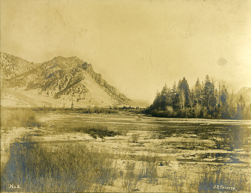 Painter Trail #213Hiking · ~18 min drivePhoto: waterarchives, CC BY-SA 2.0 (via Flickr)
- Harlen MeadowsHiking · ~2 min drive
- FishlakeHiking · ~11 min drive
- FOURTH OF JULY CREEKHiking · ~19 min drive
- Salmon River Trail EastHiking · ~18 min drivePhoto: waterarchives, CC BY-SA 2.0 (via Flickr)
- Hida RidgeHiking · ~3 min drive
- Bat Creek TrailHiking · ~13 min drive
- Browns Creek TrailHiking · ~22 min drive
- RHETT CREEKHiking · ~14 min drive
- Artic PointHiking · ~6 min drive
