Artic Point
- 14.6 mi
- round trip
- 1,658 ft
- climb
- 7,512 ft
- high point
- Out and back
- route
- Jun–Aug
- best months
Artic Point is a hard hike in Idaho's Frank Church-River of No Return Wilderness, on the Krassel Ranger District of the Payette National Forest. The route is an out-and-back of about 14.6 miles, with a one-way elevation gain of 1,658 feet, from a low point of 6,017 feet to a high of 7,512 feet. The Forest Service manages the land, and the trail is natural-surfaced and open year-round. The trail is open to horses, and bikes are not allowed. For timing, July and August are the warmest months, with typical highs around 79°F and lows in the mid-30s, based on averages from a nearby weather station at Warren. That station sits about 1,600 feet lower than the high point, so temperatures on the route run cooler. Nearby hikes include Hida Ridge, about 1.7 miles away, and Harlen Meadows, about 2.4 miles away. Chamberlain Basin campground is about 4.8 miles off, and McCalla Creek, a paddling spot, is about 9.5 miles away.
Best time to go · Jun–Aug
Best time to visit Artic Point
Best months: June–August. Best months have typical highs of 55–85 °F, lows of 30 °F or warmer (32 °F where the station doesn't record snow), at most one snowy day and no more than 12 wet days.
Jan
35° / 7°
Feb
41° / 7°
Mar
46° / 17°
Apr
50° / 20°
May
59° / 27°
Jun
68° / 34°
Jul
79° / 37°
Aug
79° / 35°
Sep
69° / 30°
Oct
56° / 23°
Nov
41° / 16°
Dec
34° / 9°
Typical high / low (°F) and days with rain or snow, 1991–2020. Measured at Warren, ID, 25.9 mi away at 5,907 ft. The station sits about 1,600 ft lower than this place, so expect it a little cooler here. This station doesn't record snowfall. Source: NOAA NCEI U.S. Climate Normals 1991–2020.
Keep exploring — more trails worth the drive
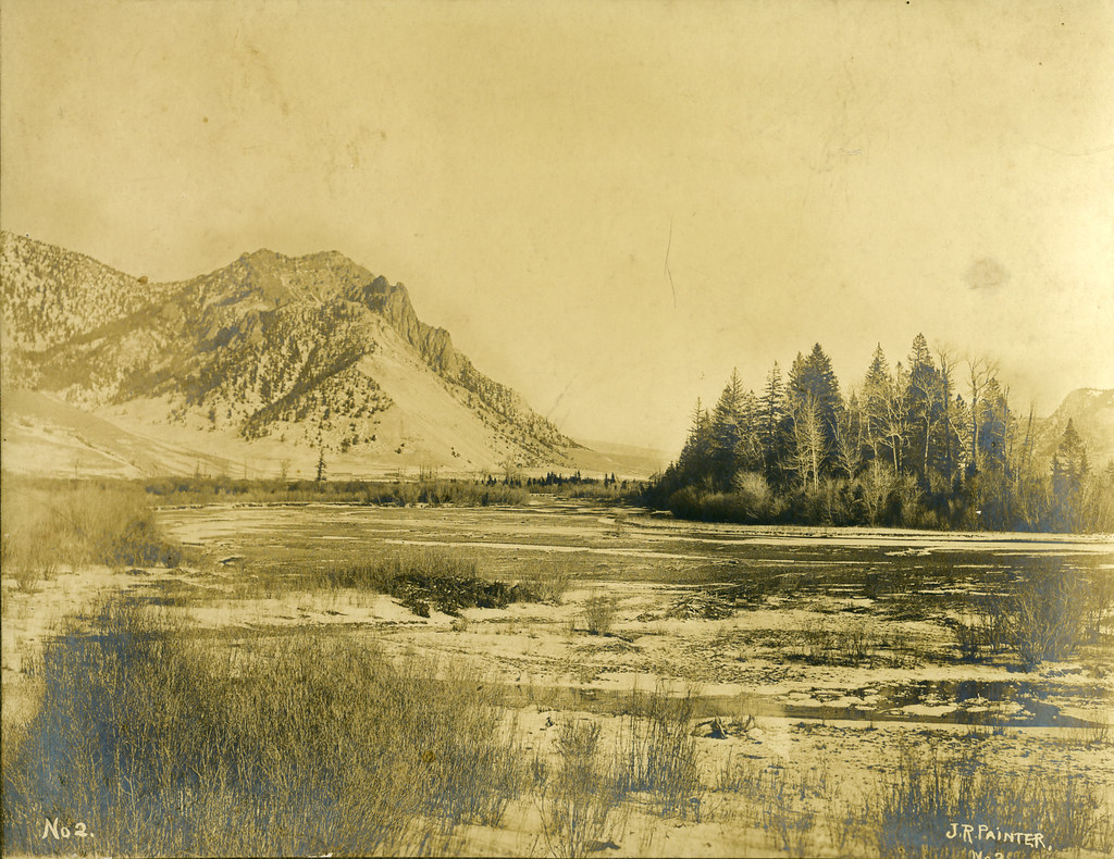 Photo: waterarchives, CC BY-SA 2.0 (via Flickr)
Painter Trail #213
~22 min drive
7.9-mile out-and-back trail in Idaho with 5,072 ft gain and 5,887 ft max elevation.
HIKE
Hida Ridge
~3 min drive
10.65-mile out-and-back trail on Hida Ridge in Idaho with 513 ft of elevation gain.
HIKE
Fishlake
~11 min drive
3.70-mile out-and-back trail in Idaho with 710 ft elevation gain.
HIKE
Browns Creek Trail
~21 min drive
1.72-mile out-and-back trail in Idaho with 635 ft elevation gain
Photo: waterarchives, CC BY-SA 2.0 (via Flickr)Salmon River Trail East
~22 min drive
20.34-mile out-and-back trail in Idaho with 4,970 ft elevation gain/loss.
HIKE
Harlen Meadows
~4 min drive
Harlen Meadows is a 4.40-mile out-and-back trail in Idaho with 501 feet of elevation gain.
HIKE
Bat Creek Trail
~18 min drive
7.32-mile out-and-back hike in Idaho with 2,284 ft gain and 5,686 ft max elevation.
HIKE
South Fork Chamberlain Creek Trail
~13 min drive
17.46-mile out-and-back trail in Idaho with 2,668 ft elevation gain.
HIKE
Three Blaze
~6 min drive
16.56-mile out-and-back trail in Idaho with 1,331 ft gain.
HIKE
Rabbit Point Trail
~20 min drive
9.34-mile out-and-back trail in Idaho with 2,135 ft gain/loss and 6,676 ft max elevation.
