The Wigwams Trail
- 1.6 mi
- round trip
- 1,892 ft
- climb
- 6,967 ft
- high point
- Out and back
- route
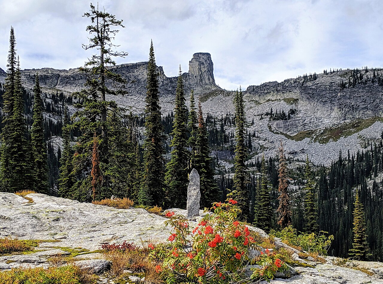
The Wigwams Trail is a moderate out-and-back hike in Idaho, managed by the State Department of Land. The route is about 3.2 miles long, with a total elevation gain of 1,892 feet, and it starts and ends at roughly 5,805 feet. The high point on the trail reaches about 6,967 feet, and the steepest stretch comes at about 1.3 miles in, where the grade reaches 35 percent. The trail is a short, focused climb rather than a long day on foot. Plan on about two hours for the round trip, and expect the most significant ascent in the middle of the route. Nearby, the Two Mouth Trail and Standard Lakes Trail are both within about 2 miles. Climbers can head to Lion's Creek, about 2.6 miles away, and the Fs Trail 268 (Two Mouth Lakes Access) campground sits about 3.5 miles off.
Local outfitters
- Nordman Resort12 mi away
- Kootenai River Campground40 mi away
Not on Roamze yet. Their page has how to reach them.
Conditions and forecast on The Wigwams
Daily highs and lows, wind and the chance of precipitation at the summit and route start for the next 7 days, from the Open-Meteo model.
- Two Mouth TrailHiking2 mi
- Standard Lakes TrailHiking2.2 mi
- Lion's CreekRock climbing2.6 mi
- Fs Trail 268 (Two Mouth Lakes Access)Camping3.5 mi
- TWO MOUTH LAKES SPURHiking3.8 mi
- Myrtle 2 aka "Turtle Arches"Rock climbing3.9 mi
- Fs Trail 286 (Myrtle Peak/Lake Access)Camping4.5 mi
- Harrison PeakRock climbing4.5 mi
Source: Roamze catalog (indexable pages within 10 miles, PostGIS distance)
 LakeshoreHiking · ~10 min drivePhoto: gcchang, CC BY-SA 2.0 (via Flickr)
- NavigationHiking · ~10 min drivePhoto: gcchang, CC BY-SA 2.0 (via Flickr)
- Two Mouth TrailHiking · ~3 min drive
- Russell Peak LookoutHiking · ~19 min drive
- TWO MOUTH LAKES SPURHiking · ~6 min drive
- Two Mouth LakesHiking · ~8 min drive
- Harrison LakeHiking · ~11 min drive
- Lone Star Loop TrailHiking · ~14 min drive
- Myrtle Creek Pack RiverHiking · ~9 min drive
- Bottleneck LakeHiking · ~13 min drive
Route details
- Distance
- 1.6 mi round trip
- Climbing
- About 1,892 ft
- Summit
- 7,025 ft
- Difficulty
- Moderate
- Time
- About 1.5 hours
Questions about this route
How long is the The Wigwams Trail on The Wigwams?
About 1.6 mi round trip.
How much elevation gain is on the The Wigwams Trail?
About 1,892 ft of climbing round trip.
How hard is the The Wigwams Trail?
It is rated moderate.
How long does the The Wigwams Trail take?
About 1.5 hours round trip.
Map and trail data © OpenStreetMap contributors
