Swauger Lake Spur Trail
- 1.6 mi
- round trip
- 1,427 ft
- climb
- 9,064 ft
- high point
- Out and back
- route
Caution at last check
Agency alerts are in effect for this area; weather is marginal · USFS, OpenWeather · checked 14 h ago
Is Swauger Lake Spur Trail open right now?
Alert in the area
The Forest Service lists an alert for Salmon-Challis National Forest.
Stoddard Bridge Construction Closure
Agency alert covering Salmon-Challis National Forest · Order 0413-07-17 · USFS · Salmon-Challis National Forest
As of · Source: USFS · Salmon-Challis National Forest. Agencies don't list every closure — check before you go.
Swauger Lake Spur Trail is a moderate out-and-back hike of about 3.2 miles in the Lost River Ranger District of Idaho's Salmon-Challis National Forest, managed by the Forest Service. The trail starts at about 8,037 feet and climbs to roughly 9,064 feet, with a total gain of about 1,427 feet. The steepest stretch comes early, around 0.14 miles from the start, where the grade reaches about 27%. The trail is a rolling climb, and the route is about 1.6 miles one way. Swauger Lake Spur 1 lies just 0.1 mile away, and Swauger Lake is about 2.4 miles off. Dry Creek and Long Lost are both within about 2.7 miles. For an overnight stay, Loristica Group Campground is about 8.4 miles away.
Local outfitters
- The Sawmill Station44 mi away
Not on Roamze yet. Their page has how to reach them.
- SWAUGER LAKE SPUR 1Hiking0.1 mi
- Swauger LakeHiking2.4 mi
- Dry CreekHiking2.5 mi
- Long LostHiking2.7 mi
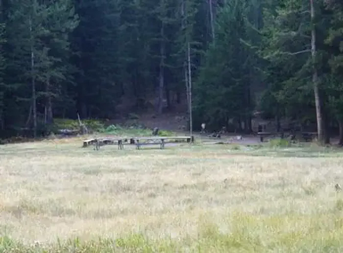 Loristica Group CampgroundCampingPhoto: Recreation.gov (RIDB) / public domain8.4 mi
- The Right FlankRock climbing9.2 mi
- The Main WallRock climbing9.2 mi
- Lower TierRock climbing9.2 mi
Source: Roamze catalog (indexable pages within 10 miles, PostGIS distance)
 Borah Peak TrailHiking · ~17 min drivePhoto: Fredlyfish4, CC BY-SA 4.0 (via Wikimedia Commons)
- Long LostHiking · ~5 min drive
- Shadow Lakes TrailHiking · ~8 min drive
- Leatherman Peak TrailHiking · ~12 min drive
- Swauger LakeHiking · ~4 min drive
- Big Creek-MassacreHiking · ~11 min drive
- Pass LakeHiking · ~12 min drive
- Mount Breitenbach TrailHiking · ~13 min drive
- East Fork Upper PahsimeroiHiking · ~8 min drive
- Merriam LakeHiking · ~11 min drive

Map and trail data © OpenStreetMap contributors
