
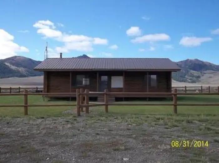
The Sawmill Station
Hiking business nearby (~46 mi away) — hasn't claimed their Roamze page yet
Free — you'll pick up right here.
Watch this trail
Sign up to watch it — saving subscribes you to gate, closure and report changes.
Idaho
13.8 mi
Distance
820 ft
Gain
We won't guess. Here is exactly what we do and don't know.
What we do know
Inside Sawtooth National Forest
2 managing-area boundaries mapped — agency alerts for them feed this page automatically.
Boundary data
What's missing
No access route mapped
We don't yet know which road reaches this trailhead, so we can't tell you if it's gated.
Nobody's filed a report here yet — be the first.
Why you'll love it
Skyline
AI-suggested draft · review before you go
No permit or access details on file for this trail — check with the local land manager before you go.
The Skyline Trail is a scenic 13.8-mile trek offering expansive ridge-line views and steady elevation gain through Idaho's backcountry. This moderate-to-challenging route rewards hikers with panoramic vistas across the surrounding peaks and valleys, making it an excellent choice for those seeking a full day of mountain hiking with sustained but manageable climbing.
Swede Peak
~6 min drive
Quick 2.86-mile climb to Swede Peak with 523 ft elevation gain.
Kale Creek
~7 min drive
12-mile creek-side trail with gentle elevation gain in central Idaho.
Green Lake
~8 min drive
Short, scenic alpine lake hike with steady elevation gain.
Brockie Lake
~11 min drive
Moderate 3.94-mile hike to alpine lake with 1,321 ft elevation gain.
Bear Canyon-Broad Canyon
~7 min drive
Moderate 6.7-mile canyon loop with 1,200 ft elevation gain.
White Mountain
~8 min drive
Steep 2.4-mile climb with 774 ft gain near White Mountain, Idaho.
Bellas Canyon
~12 min drive
Moderate 5.71-mile canyon hike with 1,559 ft elevation gain near Bellas Canyon, Idaho.
Buckhorn
~7 min drive
Moderate 10.64-mile loop with 2,312 ft gain near Buckhorn, Idaho.
Upper Iron Bog
~11 min drive
Easy 1.76-mile bog walk with minimal elevation gain near Upper Iron Bog.
Left Fork Wildhorse Creek
~16 min drive
Moderate creek-drainage hike with steady elevation gain in central Idaho.
Local operatorsoffering guided trips. You book directly with them — Roamze doesn’t take a cut.
The Sawmill Station
Hiking business nearby (~46 mi away) — hasn't claimed their Roamze page yet
Camp Perkins
Hiking business nearby (~47 mi away) — hasn't claimed their Roamze page yet