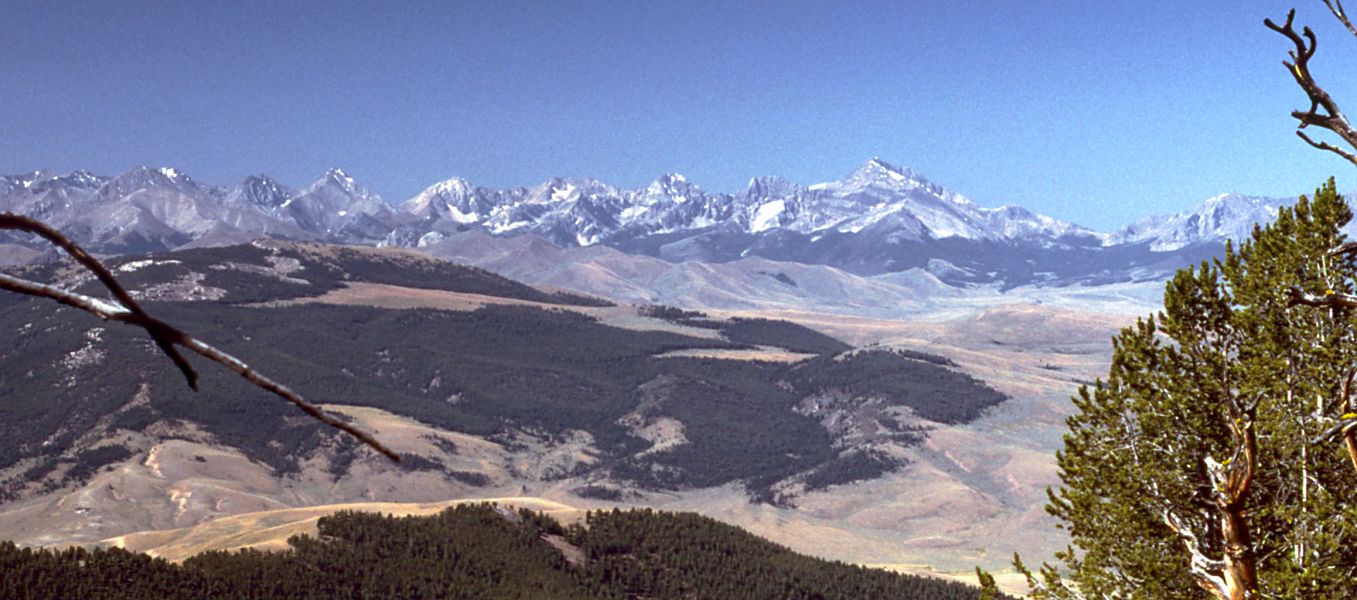
Right Fork Scott Canyon
- 1.1 mi
- round trip
- 734 ft
- climb
- 8,298 ft
- high point
- Out and back
- route
Is RIGHT FORK SCOTT CANYON open right now?
No closures listed
The Forest Service lists no closures for Caribou-Targhee National Forest.
As of · Source: USFS · Caribou-Targhee National Forest. Agencies don't list every closure — check before you go.
Right Fork Scott Canyon is an out-and-back hike of about 2.2 miles in Idaho's Caribou-Targhee National Forest, within the Forest Service's Dubois Ranger District. It starts at roughly 7,764 feet and climbs to a high point of 8,298 feet, with a total gain of about 734 feet, and the steepest stretch comes near the beginning at a 14% grade. The route is rated easy. It is a front-loaded climb, with the most elevation gain in the first part of the hike. The trail is open year-round, and the nearest town is Dubois. Scott Canyon lies just 0.1 mile away. Buckhorn Canyon, Italian Canyon and Nicholia are all within about 3 miles.
- SCOTT CANYONHiking0.1 mi
- Buckhorn CanyonHiking2.6 mi
- ITALIAN CANYONHiking3.1 mi
- NicholiaHiking3.2 mi
- NORTH FORK WEBBER CREEKHiking4.6 mi
- Meyers Creek TrailHiking5.9 mi
- Pierce CanyonHiking6.5 mi
- CROOKED CREEK - WILLOW CREEKHiking6.9 mi
Source: Roamze catalog (indexable pages within 10 miles, PostGIS distance)
- SCOTT CANYONHiking · Next door
- NicholiaHiking · ~5 min drive
- CROOKED CREEK - WILLOW CREEKHiking · ~12 min drive
- Fritz CreekHiking · ~13 min drive
- Jump CreekHiking · ~17 min drive
- NORTH FORK WEBBER CREEKHiking · ~8 min drive
- MYERS CREEKHiking · ~12 min drive
- Rocky CanyonHiking · ~20 min drive
- Bell MountainHiking · ~27 min drive
- Montana CanyonHiking · ~13 min drive