
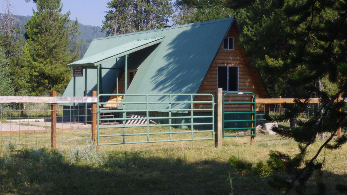

Greys River Cove
Hiking business nearby (~20 mi away) — hasn't claimed their Roamze page yet
Free — you'll pick up right here.
Watch this trail
Sign up to watch it — saving subscribes you to gate, closure and report changes.
Idaho
2.6 mi
Distance
181 ft
Gain
An agency closure order is in effect for this area; weather is good
2 factors · 2 sources
Newest 18 h ago · oldest 25 d
problem: Agency alerts
25 active alerts in Caribou-Targhee National Forest; most severe: 04-15-26-302 Tunnel Fire Closure
USFS25 d ago
clear: Weather
Clouds, high 52°F / low 52°F, 0% precip — 98/100 for hike
OpenWeather18 h ago
Been out here in the last few days? One report keeps this current for everyone.
Why you'll love it
Nf Stump-Bechler
AI-suggested draft · review before you go
No permit or access details on file for this trail — check with the local land manager before you go.
The NF Stump-Bechler trail is a short, accessible hike in the Bechler region of Idaho, offering a gentle introduction to the area's natural landscape. With modest elevation gain and under 3 miles of distance, this trail is ideal for families and casual hikers looking for a quick outdoor excursion. The route traverses through typical forest terrain characteristic of the Bechler drainage.
Nf Stump-Sf Tincup
~1 min drive
Easy 2.5-mile forest walk with minimal elevation gain near central Idaho.
North Fork Stump Creek
~3 min drive
Moderate 11.3-mile creek drainage hike with 1,766 ft elevation gain.
Bechler Creek
~5 min drive
Moderate creek-side hike in remote Yellowstone backcountry with geothermal features.
Old 272
~4 min drive
Easy 1.1-mile forest walk with 228 ft elevation gain.
Smith Canyon Trail
~7 min drive
Easy 1.95-mile canyon hike through scenic Idaho terrain.
Crooked Creek
~5 min drive
Moderate 5.86-mile creek-side hike with 1,036 ft elevation gain.
Bechler-Sf Tincup
~4 min drive
Short, accessible Bechler region hike with steady elevation gain.
Boulder Creek-Diamond Pk
~7 min drive
Moderate 11.71-mile alpine hike to Diamond Peak via Boulder Creek.
South Fork Smith Canyon
~7 min drive
Scenic canyon creek hike with steady elevation gain and dramatic walls.
East Fork Hyde Canyon Creek
~7 min drive
Steep canyon creek hike with 580 ft gain over 2.13 miles.
Local operatorsoffering guided trips. You book directly with them — Roamze doesn’t take a cut.
Greys River Cove
Hiking business nearby (~20 mi away) — hasn't claimed their Roamze page yet
The Virginian RV Park
Hiking business nearby (~44 mi away) — hasn't claimed their Roamze page yet