
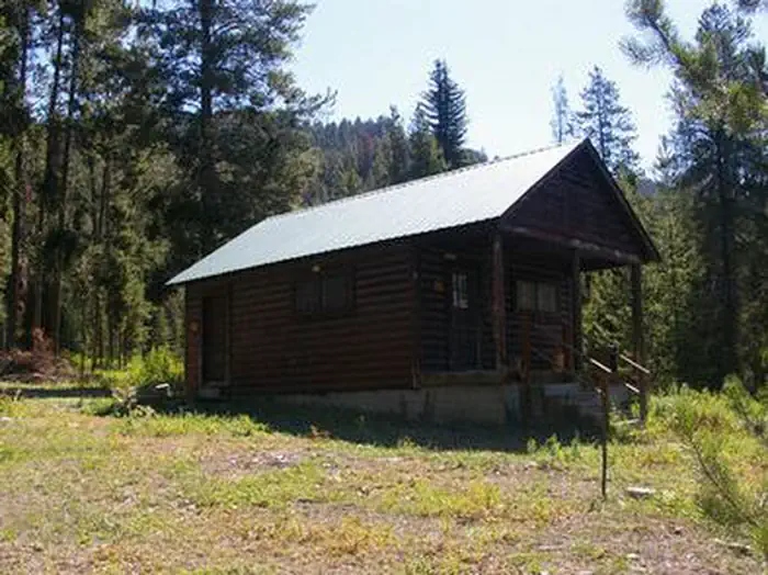
Greys River Cove
Hiking business nearby (~17 mi away) — hasn't claimed their Roamze page yet
Free — you'll pick up right here.
Watch this trail
Sign up to watch it — saving subscribes you to gate, closure and report changes.
Idaho
7.2 mi
Distance
1,114 ft
Gain
We won't guess. Here is exactly what we do and don't know.
What we do know
Inside Caribou-Targhee National Forest
2 managing-area boundaries mapped — agency alerts for them feed this page automatically.
Boundary data
What's missing
No access route mapped
We don't yet know which road reaches this trailhead, so we can't tell you if it's gated.
Nobody's filed a report here yet — be the first.
Why you'll love it
Limekiln Creek
AI-suggested draft · review before you go
No permit or access details on file for this trail — check with the local land manager before you go.
Limekiln Creek is a 7.2-mile out-and-back trail located in Wyoming. This moderately-distanced hike takes you through the natural landscape characteristic of the Wyoming region. The trail follows Limekiln Creek, offering hikers a chance to experience riparian scenery and the geological features that define the area. As an out-and-back route, you'll retrace your path on the return journey, making it easy to turn back at any point if needed. The 7.2-mile total distance breaks down to 3.6 miles each way, allowing for flexible trip planning depending on your fitness level and time constraints. The trail is suitable for hikers seeking a moderate outing in Wyoming's outdoor spaces. The creek setting provides water access and the scenic elements that come with canyon and stream hiking in this region. Plan to bring adequate water, sun protection, and weather-appropriate gear for Wyoming conditions. Check current trail conditions before heading out, as weather and seasonal factors can affect accessibility and hiking difficulty.

Cedar Creek
~12 min drive
6.2 mi · Hard
Swab Creek
~3 min drive
1.6 mi · Easy
South Fork Smith Canyon
~4 min drive
Scenic canyon creek hike with steady elevation gain and dramatic walls.
Water Canyon Limekiln
~1 min drive
16-mile canyon trail through Water Canyon with historical limekiln features.
Old 272
~6 min drive
Easy 1.1-mile forest walk with 228 ft elevation gain.
Deep-Miller Creek
~5 min drive
Accessible creek-side trail with 554 ft gain near Deep-Miller Creek, Idaho.
Smith Canyon Trail
~1 min drive
Easy 1.95-mile canyon hike through scenic Idaho terrain.
Weber Creek North
~7 min drive
Short foothill trail following Weber Creek with gentle elevation gain.
Crooked Creek
~7 min drive
Moderate 5.86-mile creek-side hike with 1,036 ft elevation gain.
West Fork Toms Canyon
~10 min drive
Moderate canyon hike through West Fork drainage with steady forest and open terrain.
Local operatorsoffering guided trips. You book directly with them — Roamze doesn’t take a cut.
Greys River Cove
Hiking business nearby (~17 mi away) — hasn't claimed their Roamze page yet
The Virginian RV Park
Hiking business nearby (~41 mi away) — hasn't claimed their Roamze page yet