Shafer Butte
Campground
Campground · 0.3 mi from the trail
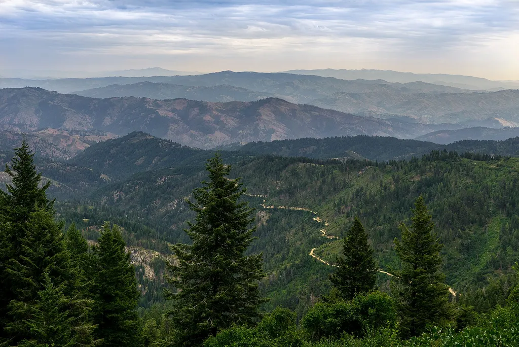 Photo: Josh Lehman joshlehman — Wikimedia Commons (CC0)
Closure in the area
There's a closure order in Boise National Forest. It doesn't name Mores Mountain Interpretive Trail, so check the source for the area it covers.
UPDATED Sept. 19 - Crooked Fire Area, Road, and Trail Closure
Agency closure covering Boise National Forest · Order 0402-03-140 · USFS · Boise National Forest
Lava Fire Road Closure
Agency alert covering Boise National Forest · Order 0402-06-84 · USFS · Boise National Forest
As of · Source: USFS · Boise National Forest. Agencies don't list every closure — check before you go.
Mores Mountain Interpretive Trail is a short, out-and-back hike in Idaho's Boise National Forest, within the Mountain Home Ranger District. The trail is managed by the Forest Service and covers about 0.3 miles, with a low point of 6,901 feet and a high of 6,938 feet. The climb is gentle, with a total elevation gain of about 40 feet. The trail is a compact route, so it works well as a quick stop. Bikes are not allowed on this path, so plan on walking it. Several other outdoor options sit close by. The Mores Mountain Mountain Bike Trail is about 0.2 miles away, and Shafer Butte campground is about 0.3 miles off. For winter, the To Superior ski touring route and the Mores Mountain Extension cross-country ski trail are both within a mile.
Shafer Butte
Campground
Pioneer Lodge
Restaurant
 If it rainsCamEQ, Facade of Art Museum designed by Trout Architects and Mark Mack in 1988, Public domain · Wikimedia Commons
Places © OpenStreetMap contributors · Photos: CamEQ, Facade of Art Museum designed by Trout Architects and Mark Mack in 1988, Public domain (commons)
More in Idaho City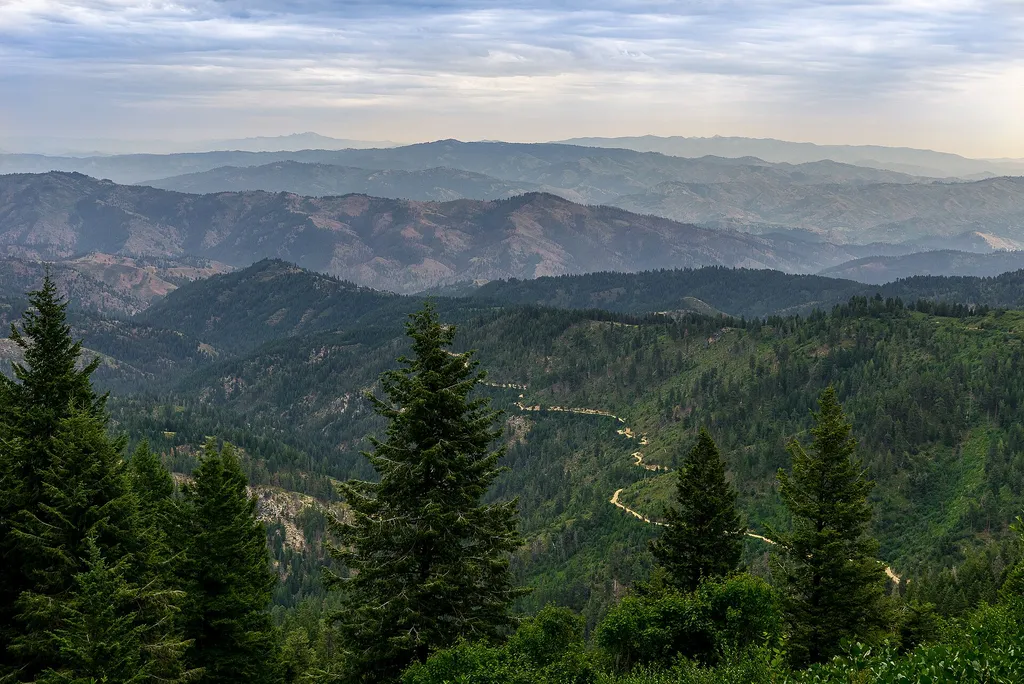 Mores Mountain ExtensionCross-country skiingPhoto: Josh Lehman joshlehman — Wikimedia Commons (CC0)0.7 mi
Source: Roamze catalog (indexable pages within 10 miles, PostGIS distance)
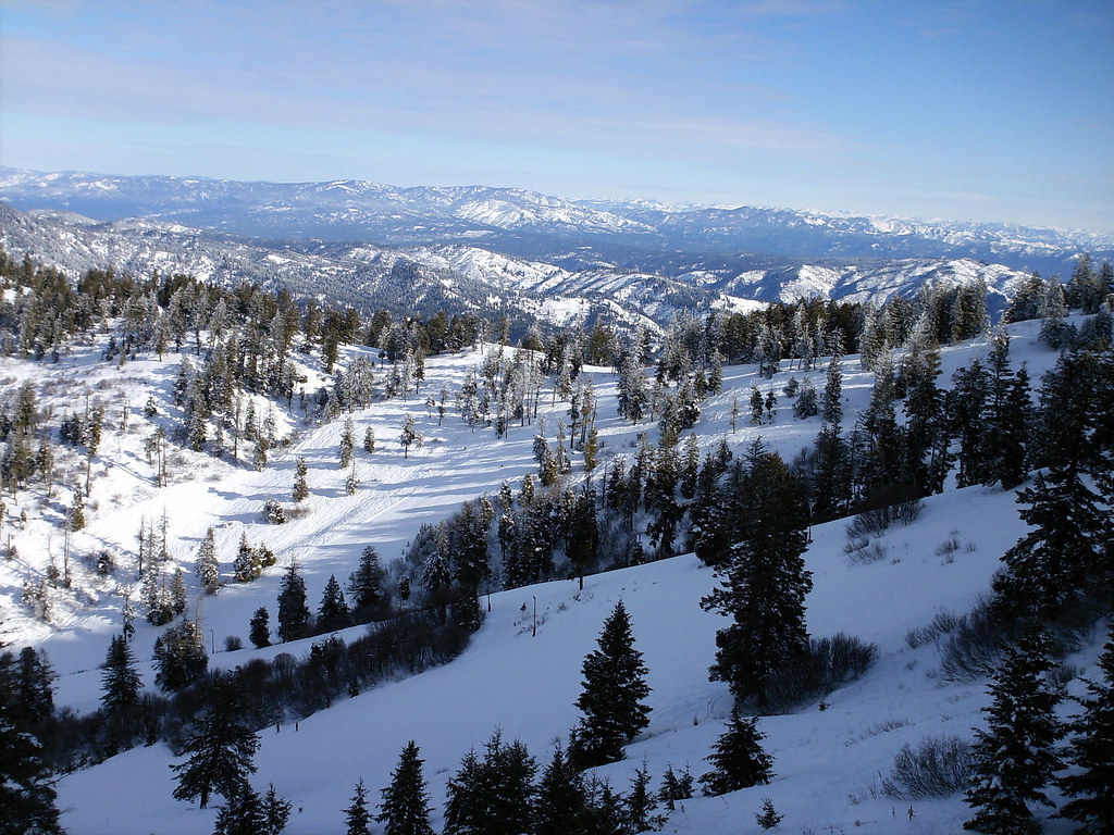 MORES MOUNTAIN EXTENSIONHiking · ~1 min drivePhoto: Stupid Dingo, CC BY 2.0 (via Flickr)
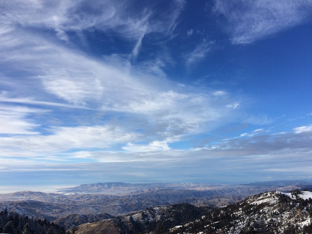 Elk MeadowsHiking · ~1 min drivePhoto: FunGi_ (Trading), CC BY-SA 2.0 (via Flickr)LodgeHiking · ~1 min drivePhoto: FunGi_ (Trading), CC BY-SA 2.0 (via Flickr)
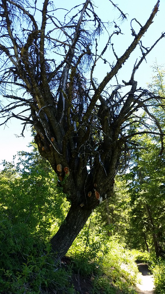 #98 Around the MountainHiking · ~1 min drivePhoto: cifraser1, CC BY 2.0 (via Flickr)
Map and trail data © OpenStreetMap contributors
