
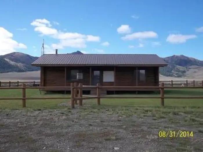
Camp Perkins
Hiking business nearby (~44 mi away) — hasn't claimed their Roamze page yet
Free — you'll pick up right here.
Watch this trail
Sign up to watch it — saving subscribes you to gate, closure and report changes.
Idaho
18.4 mi
Distance
2,218 ft
Gain
Agency alerts are in effect for this area; weather is good
2 factors · 2 sources
Newest 20 h ago · oldest 9 d
caution: Agency alerts
10 active alerts in Sawtooth National Forest; most severe: Public Safety – Occupancy and Use
USFS9 d ago
clear: Weather
Rain, high 53°F / low 42°F, 58% precip — 75/100 for hike
OpenWeather20 h ago
Been out here in the last few days? One report keeps this current for everyone.
Why you'll love it
Little Wood
AI-suggested draft · review before you go
No permit or access details on file for this trail — check with the local land manager before you go.
Little Wood is a challenging 18.38-mile trail that climbs 2,218 feet through the diverse terrain of central Idaho. This out-and-back or loop route offers a substantial day hike or backpacking opportunity, rewinding through mixed forest and open meadows typical of the region. The trail provides excellent views of the Little Wood River drainage and surrounding ridgelines, making it ideal for experienced hikers seeking solitude and elevation gain.
Buckhorn
~4 min drive
Moderate 10.64-mile loop with 2,312 ft gain near Buckhorn, Idaho.
Swede Peak
~4 min drive
Quick 2.86-mile climb to Swede Peak with 523 ft elevation gain.
White Mountain
~15 min drive
Steep 2.4-mile climb with 774 ft gain near White Mountain, Idaho.
Kale Creek
~6 min drive
12-mile creek-side trail with gentle elevation gain in central Idaho.
Timber Draw
~8 min drive
Steady 3.91-mile forest climb with 1,957 ft elevation gain.
Green Lake
~17 min drive
Short, scenic alpine lake hike with steady elevation gain.
Iron Mine
~7 min drive
Moderate 9.33-mile hike with 1,420 ft gain exploring historic mining terrain.
Big Basin
~12 min drive
Steep 3.91-mile climb to Big Basin with 1,220 ft elevation gain.
Upper Iron Bog
~18 min drive
Easy 1.76-mile bog walk with minimal elevation gain near Upper Iron Bog.
Federal Gulch
~9 min drive
Remote 20.5-mile backcountry gulch trail with 2,124 ft elevation gain.
Local operatorsoffering guided trips. You book directly with them — Roamze doesn’t take a cut.
Camp Perkins
Hiking business nearby (~44 mi away) — hasn't claimed their Roamze page yet
The Sawmill Station
Hiking business nearby (~47 mi away) — hasn't claimed their Roamze page yet