Knob Lakes Trail
- 1.4 mi
- round trip
- 1,569 ft
- climb
- 8,060 ft
- high point
- Out and back
- route
Is Knob Lakes Trail open right now?
Closure in the area
There's a closure order in Nez Perce-Clearwater National Forest. It doesn't name Knob Lakes Trail, so check the source for the area it covers.
Updated 250 Road Closure
Agency closure covering Nez Perce-Clearwater National Forest · USFS · Nez Perce-Clearwater National Forest
Grangeville Salmon Road Closure Extension
Agency alert covering Salmon River Ranger District · Order 01-17-01-26-004 · USFS · Salmon River Ranger District
Laird Park Water Unavailable For 2026 Season
Agency alert covering Nez Perce-Clearwater National Forest · USFS · Nez Perce-Clearwater National Forest
As of · Source: USFS · Nez Perce-Clearwater National Forest. Agencies don't list every closure — check before you go.
Knob Lakes Trail is a moderate out-and-back hike in Idaho's Nez Perce-Clearwater National Forest, within the Salmon River Ranger District. The trail's one-way climb is about 1.4 miles, with a total round-trip distance of roughly 2.9 miles. The route starts at an elevation of about 7,662 feet and climbs to a high point of 8,060 feet, totaling about 1,569 feet of gain and loss over the course of the trip. The steepest stretch comes around the 1.3-mile mark, where the grade reaches about 37%. Plan on about two hours for the hike. The Forest Service manages the land, and the trail is a straightforward outing for anyone looking to reach the higher ground of the district's interior. Several other hikes lie close by, including East Gospel Lake Trail about 1.4 miles away and Moores Lake Trail about 1.7 miles away. For an overnight stay, Rocky Bluff campground is about 4.3 miles off, and Wind River, a canoeing spot, is roughly 6.9 miles away.
- East Gospel Lake TrailHiking1.4 mi
- Moores Lake TrailHiking1.7 mi
- North Moores TrailHiking2 mi
- Rocky BluffCamping4.3 mi
- Adams Ranger StationCamping6.1 mi
- Wind RiverCanoeing6.9 mi
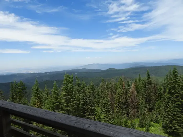 Lookout Butte LookoutCampingPhoto: Recreation.gov (RIDB) / public domain8.9 mi
- Little Slate CreekCanoeing8.9 mi
Source: Roamze catalog (indexable pages within 10 miles, PostGIS distance)
- East Gospel Lake TrailHiking · ~2 min drive
- Moores Lake TrailHiking · ~3 min drive
- SQUARE MOUNTAIN SPURHiking · ~7 min drive
- HUMP TRAILHiking · ~10 min drive
- JACKSON RIDGEHiking · ~4 min drive
- Round Top TrailHiking · ~8 min drive
- Rocky Bluff TrailHiking · ~7 min drive
- Kentucky Creek TrailHiking · ~10 min drive
- Lower Gospel Lake trailHiking · ~5 min drive
- SQUARE MOUNTAIN LAKEHiking · ~9 min drive
Map and trail data © OpenStreetMap contributors
