Robie Creek Park Group Shelter
Campground
The next 6 weekends are full on Recreation.gov
Hull's Gulch Interpretive Trail is a short, easy out-and-back hike on Bureau of Land Management land in Idaho's Four Rivers Field Office. The trail is about 1.3 miles long, with a total elevation gain of 476 feet from a low point of 4,260 feet to a high of 4,512 feet. The climb is rolling rather than steep, with the steepest stretch at about 0.4 miles, peaking at an 11% grade. Late spring and early fall are the most comfortable times to go. Typical averages from a nearby weather station in Boise run from highs around 68°F in May to 76°F in September, while winter brings frequent snow days. That station sits a few hundred feet lower than the trail, so temperatures on the route run a little cooler. The hike takes about half an hour, so it fits easily into a morning or afternoon. Several mountain biking trails lie close by, including #32 Scott's at 0.5 miles and #6 Femrite's Patrol Trail at 0.7 miles. Climbers can find Bee Block about 2.4 miles away, and the Boise River offers fishing roughly 6.5 miles off.
Robie Creek Park Group Shelter
Campground
 If it rainsCamEQ, Facade of Art Museum designed by Trout Architects and Mark Mack in 1988, Public domain · Wikimedia Commons
Places © OpenStreetMap contributors · Photos: CamEQ, Facade of Art Museum designed by Trout Architects and Mark Mack in 1988, Public domain (commons)
More in Idaho CityNot on Roamze yet. Their page has how to reach them.
Source: Roamze catalog (indexable pages within 10 miles, PostGIS distance)
 #6 Femrite's Patrol TrailHiking · ~1 min drivePhoto: Matt Lavin, CC BY-SA 2.0 (via Flickr)
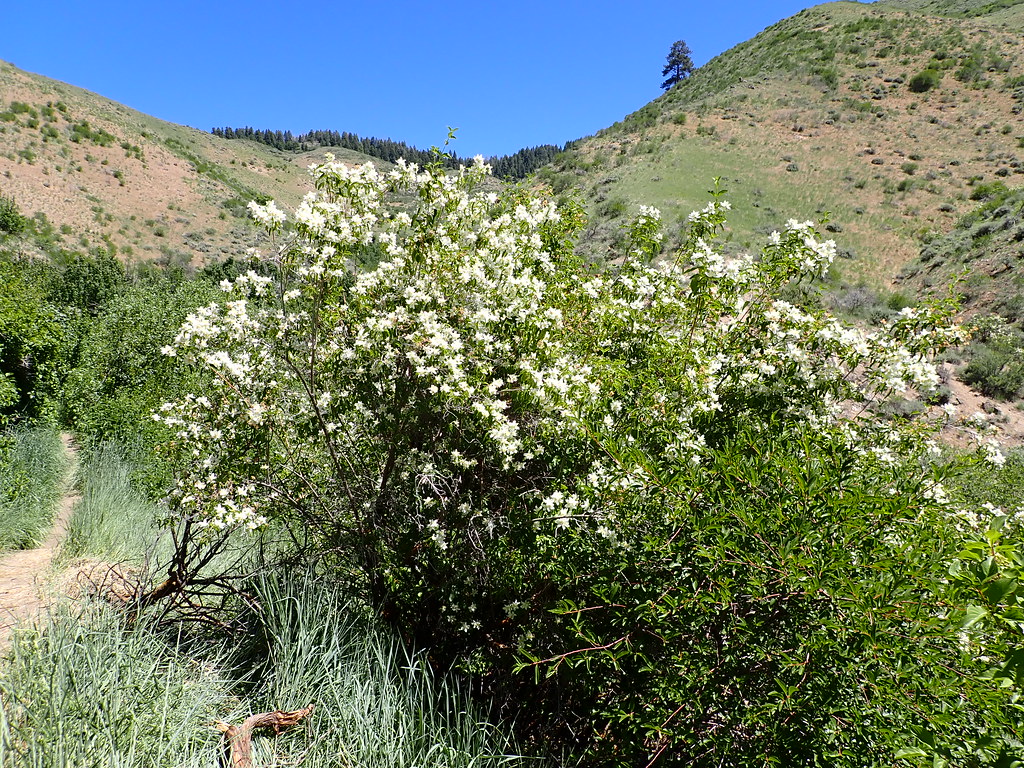 #4a Hull's Ridge TrailHiking · ~3 min drivePhoto: Matt Lavin, CC BY-SA 2.0 (via Flickr)
 #5 Freestone RidgeHiking · ~3 min drivePhoto: Matt Lavin, CC BY-SA 2.0 (via Flickr)Prospect TrailHiking · ~3 min drivePhoto: Matt Lavin, CC BY-SA 2.0 (via Flickr)5-MileHiking · ~3 min drivePhoto: Matt Lavin, CC BY-SA 2.0 (via Flickr)Orchard GulchHiking · ~4 min drivePhoto: Matt Lavin, CC BY-SA 2.0 (via Flickr)
Also worth it near here
Best months: May–June and September–October. Best months have typical highs of 55–85 °F, lows of 30 °F or warmer (32 °F where the station doesn't record snow), at most one snowy day and no more than 12 wet days.
Jan
37° / 24°
13 wet · 9 snow
Feb
43° / 27°
12 wet · 6 snow
Mar
51° / 32°
13 wet · 5 snow
Apr
58° / 36°
11 wet · 3 snow
May
68° / 43°
11 wet · 1 snow
Jun
77° / 49°
7 wet
Jul
88° / 58°
4 wet
Aug
86° / 58°
3 wet
Sep
76° / 50°
5 wet
Oct
61° / 40°
7 wet · 1 snow
Nov
46° / 30°
12 wet · 5 snow
Dec
37° / 23°
14 wet · 9 snow
Typical high / low (°F) and days with rain or snow, 1991–2020. Measured at Boise 7 N, ID, 6.5 mi away at 3,885 ft. The station sits about 600 ft lower than this place, so expect it a little cooler here. Source: NOAA NCEI U.S. Climate Normals 1991–2020.
Map and trail data © OpenStreetMap contributors
