Deer Creek
- 10.1 mi
- round trip
- 2,053 ft
- climb
- 5,241 ft
- high point
- Out and back
- route
Is Deer Creek open right now?
Closure in the area
There's a closure order in Idaho Panhandle National Forests. It doesn't name Deer Creek, so check the source for the area it covers (4 listed).
Emergency Road Closure Lightning Creek / Forest Road 419
Agency closure covering Idaho Panhandle National Forests · Order 0104-06-26-002 · USFS · Idaho Panhandle National Forests
West Fork Eagle Creek/Forest Road 805
Agency closure covering Coeur d'Alene River Ranger District · Order 01-04-03-26-002 · USFS · Coeur d'Alene River Ranger District
Abandoned Mines Area Closure
Agency closure covering Idaho Panhandle National Forests · Order 1-04-00-25-001 · USFS · Idaho Panhandle National Forests
Idaho Panhandle Seasonal Food Storage Order
Agency closure covering Idaho Panhandle National Forests · Order 01-04-00-24-001 · USFS · Idaho Panhandle National Forests
Forest Service Roads 265, 422 and 911 Closure
Agency alert covering Coeur d'Alene River Ranger District · Order 01-04-03-26-018 · USFS · Coeur d'Alene River Ranger District
As of · Source: USFS · Idaho Panhandle National Forests. Agencies don't list every closure — check before you go.
Deer Creek is a hard hike in the Coeur d'Alene River Ranger District of the Idaho Panhandle National Forests, managed by the Forest Service. The trail is about 10 miles long, with a one-way climb of about 2,050 feet from a low point near 3,100 feet to a high point around 5,240 feet. The trail is natural-surfaced and allows both horses and bikes. That makes it a versatile route for riders and pack animals, though the climb is steep enough to demand careful planning. Alden Creek lies just 0.6 miles away, and Cataract Creek is about 5 miles off. Paddlers can head to the North Fork Coeur d'Alene River, also about 5 miles away, and Larch Mountain is roughly 6 miles from the trail.
Local outfitters
- CDA River RV31 mi away
- Tour CDA36 mi away
Not on Roamze yet. Their page has how to reach them.
- Alden CreekHiking0.6 mi
- North Fork Coeur d'Alene RiverCanoeing5.1 mi
- Cataract CreekHiking5.3 mi
- LARCH MOUNTAINHiking5.7 mi
- DEVIL PEAKHiking5.8 mi
- Elk CreekCanoeing9 mi
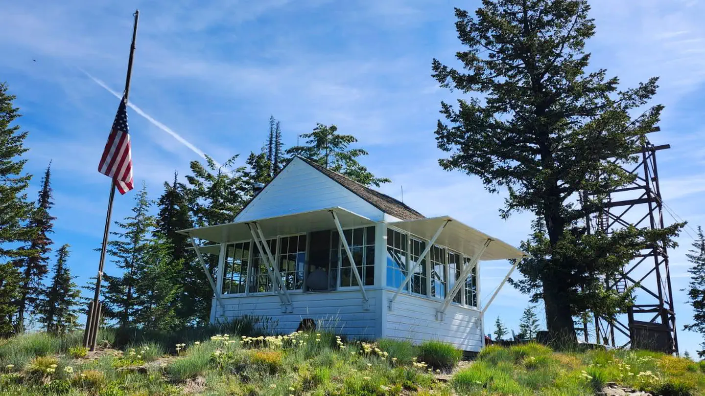 Spyglass Ground HouseRiver fishing9.2 mi
 Big HankCampingPhoto: Recreation.gov (RIDB) / public domain9.7 mi
Source: Roamze catalog (indexable pages within 10 miles, PostGIS distance)
- Alden CreekHiking · ~1 min drive
- DELYLE RIDGEHiking · ~11 min drive
- SKELETON CREEKHiking · ~16 min drive
- PACKSADDLE MOUNTAINHiking · ~20 min drive
- Cataract CreekHiking · ~9 min drive
- EMERSON RIDGEHiking · ~12 min drive
- Halsey CreekHiking · ~18 min drive
- Cabin Creek Fire TrailHiking · ~21 min drive
- TWIN CREEKHiking · ~12 min drive
- LOVELAND PEAKHiking · ~16 min drive
