Saddle Ridge Trail
- 5.4 mi
- round trip
- 4,217 ft
- climb
- 6,313 ft
- high point
- Out and back
- route
Is Saddle Ridge Trail open right now?
Closure in the area
There's a closure order in Nez Perce-Clearwater National Forest. It doesn't name Saddle Ridge Trail, so check the source for the area it covers.
Updated 250 Road Closure
Agency closure covering Nez Perce-Clearwater National Forest · USFS · Nez Perce-Clearwater National Forest
Selway Falls Campground Closure
Agency alert covering Moose Creek Ranger District · Order 01-17-06-26-003 · USFS · Moose Creek Ranger District
O'Hara Beach Area Closure
Agency alert covering Moose Creek Ranger District · Order 01-17-06-26-00 · USFS · Moose Creek Ranger District
Laird Park Water Unavailable For 2026 Season
Agency alert covering Nez Perce-Clearwater National Forest · USFS · Nez Perce-Clearwater National Forest
As of · Source: USFS · Nez Perce-Clearwater National Forest. Agencies don't list every closure — check before you go.
Saddle Ridge Trail is a hard hike in Idaho's Selway-Bitterroot Wilderness, within the Moose Creek Ranger District of the Nez Perce-Clearwater National Forest. The Forest Service manages the land, and the trail is an out-and-back route of about 10.8 miles, with a one-way climb of about 371 feet and a total round-trip gain of about 4,217 feet. The trail starts at about 6,306 feet and reaches a high point of about 6,313 feet. The steepest stretch comes at about 4.9 miles, with a grade of about 40 percent. That makes the climb back loaded, so plan for a long day with a significant drop on the way down. Saddle Ridge is the closest neighbor, about 0.2 miles away. Big Rock Trail lies about 1.7 miles off, and Old High Spring Lookout Trail and Rhoda Creek Trail are both within about 3 miles.
- SADDLE RIDGEHiking0.2 mi
- Big Rock TrailHiking1.7 mi
- Old High Spring Lookout TrailHiking2.6 mi
- Rhoda Creek TrailHiking2.8 mi
- UPPER RHODA CREEKHiking3.1 mi
- Rhoda CreekCanoeing3.3 mi
- Log Ridge TrailHiking3.7 mi
- Meeker Ridge TrailHiking3.9 mi
Source: Roamze catalog (indexable pages within 10 miles, PostGIS distance)
 Three Links Creek TrailHiking · ~12 min drivePhoto: araddon, CC BY 2.0 (via Flickr)
- Old High Spring Lookout TrailHiking · ~4 min drive
- Rhoda Creek TrailHiking · ~5 min drive
- Cliff Creek TrailHiking · ~11 min drive
- Mink Peak TrailHiking · ~12 min drivePhoto: araddon, CC BY 2.0 (via Flickr)
- Rhoda Creek TrailHiking · ~10 min drive
- UPPER RHODA CREEKHiking · ~5 min drive
- Wounded Doe Ridge TrailHiking · ~13 min drive
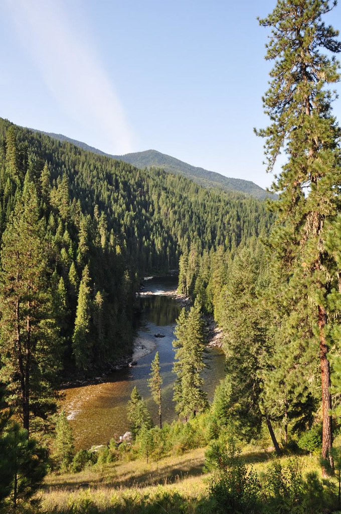 Old Selway River TrailHiking · ~13 min drivePhoto: araddon, CC BY 2.0 (via Flickr)
- Wounded Doe Creek TrailHiking · ~8 min drive
Map and trail data © OpenStreetMap contributors
