Cottonwood Creek
- 6.3 mi
- round trip
- 1,948 ft
- climb
- 5,846 ft
- high point
- Out and back
- route
Is Cottonwood Creek open right now?
Alert in the area
The Forest Service lists 5 alerts for Payette National Forest.
Over Snow Vehicle Closure
Agency alert covering Payette National Forest · Order 0412-638 · USFS · Payette National Forest
Brundage Mountain Resort Snowcat Route Closure
Agency alert covering Payette National Forest · Order 0412-637 · USFS · Payette National Forest
Lost Valley Log Hauling
Agency alert covering Payette National Forest · USFS · Payette National Forest
Granite Mountain Over Snow Vehicle Closure
Agency alert covering Payette National Forest · Order 0412-635 · USFS · Payette National Forest
Gordon Titus Upper Elevation Parking Lot Winter Restrictions
Agency alert covering Payette National Forest · Order 0412-543 · USFS · Payette National Forest
As of · Source: USFS · Payette National Forest. Agencies don't list every closure — check before you go.
Cottonwood Creek is a hard hike on Forest Service land in Idaho's Payette National Forest, within the Weiser Ranger District. The trail is about 6 miles long, and the one-way climb is roughly 1,950 feet, taking you from a low point near 3,900 feet to a high of about 5,850 feet. The route is natural-surface, and bikes are allowed, so it works for both hikers and riders. Several other trails sit close by, including Benton Creek, Coffee Flat Trail and Sturgill Ridge, all within a quarter mile. For an overnight base, Hitt Mountain Dispersed Campground And T/H is about 3 miles away.
Local outfitters
- Cornucopia Lodge & Packstation17 mi away
- Black Bear RV Park47 mi away
Not on Roamze yet. Their page has how to reach them.
Keep exploring — more trails worth the drive
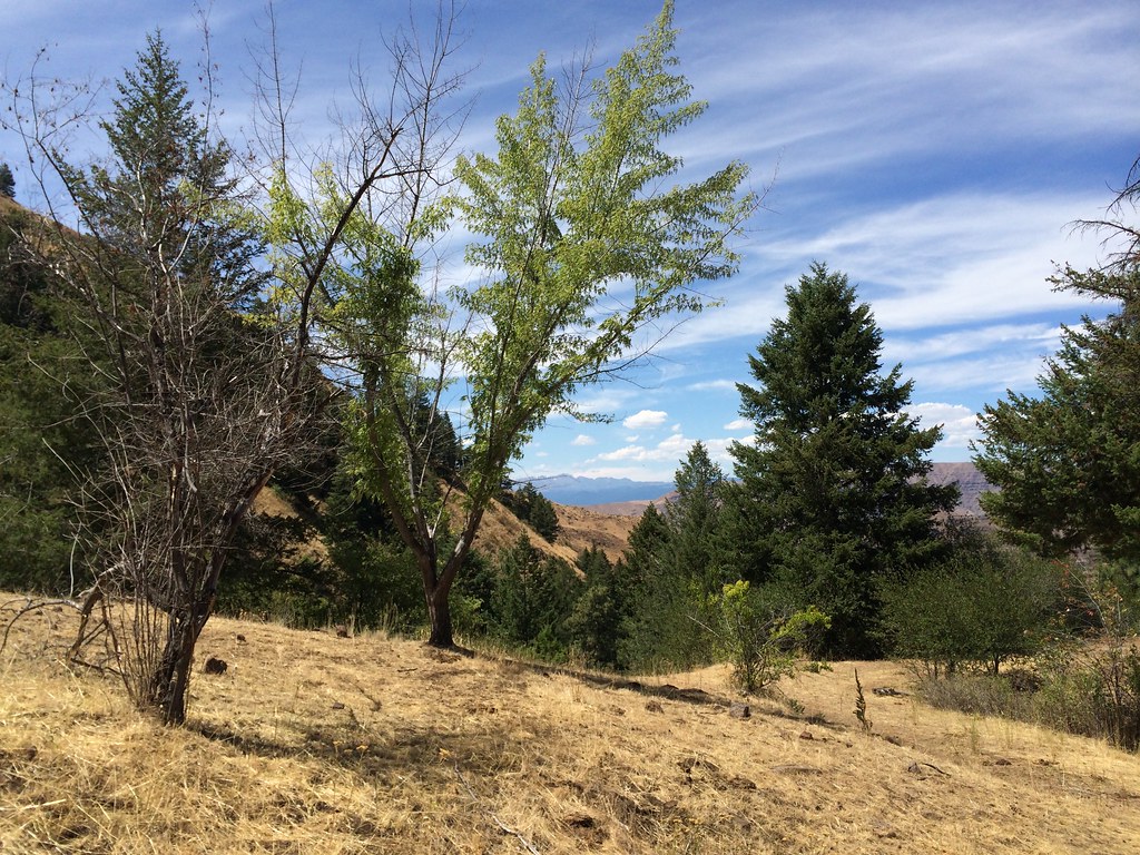 Photo: Sam Beebe, CC BY 2.0 (via Flickr)
DUKES CREEK-STARVEOUT CREEK
~25 min drive
10.54-mile out-and-back trail in Idaho with 5,047 ft elevation gain/loss
HIKE
Coffee Flat Trail
Next door
6.18-mile out-and-back trail in Idaho with 2,620 ft elevation gain/loss.
HIKE
STURGILL RIDGE
Next door
5.54-mile out-and-back trail in Idaho with 2,336 ft elevation gain and loss.
HIKE
COTTONWOOD CREEK-BOX SPRING
~2 min drive
1.66-mile out-and-back trail in Idaho with 585 ft elevation gain.
HIKE
E/F PINE CREEK
~26 min drive
15.88-mile out-and-back trail in Idaho with 3,915 ft elevation gain and loss.
HIKE
E
~3 min drive
4.60-mile out-and-back trail in Idaho with 4,744 ft gain and 6,562 ft loss.
HIKE
Bear Saddle
~5 min drive
5.20-mile out-and-back trail in Idaho with 902 ft elevation gain.
HIKE
Bear Creek
~8 min drive
4.7-mile out-and-back trail in Idaho with 932 ft elevation gain and loss.
HIKE
STURGILL PEAK
~5 min drive
13.98-mile out-and-back trail to Sturgill Peak in Idaho with 4,004 ft gain/loss
HIKE
W/F PINE CREEK
~10 min drive
3.68-mile out-and-back trail in Idaho with 1,448 ft elevation gain and loss.
