Boise Riverside RV Park
Campground
Campground · 6.5 mi from the trail
Caution at last check
Weather is marginal · OpenWeather · checked 17 h ago
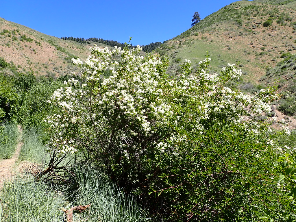
Central Ridge #22 is a short, easy hike in Idaho's Military Reserve, a city-managed land unit. The route is about 1.87 miles long, and the round trip covers roughly 3.7 miles with a total climb of 797 feet. The trail starts and ends at about 3,264 feet. The climb is rolling, and the route passes a high point of 3,264 feet before returning to the start. The steepest part comes around the first mile, where the grade reaches about 14 percent. For timing, late spring and early fall are the most comfortable. Typical averages from a nearby weather station in Boise show May highs around 72°F and September highs around 80°F, while July and August average in the low 90s. The hike sits close to other outdoor options. The #20A Bucktail and #26A Shane's mountain biking trails are within a quarter mile, and the Rocky Canyon climbing area is about 0.8 miles away. The Boise River offers river fishing about 4 miles off.
Boise Riverside RV Park
Campground
 If it rainsCamEQ, Facade of Art Museum designed by Trout Architects and Mark Mack in 1988, Public domain · Wikimedia Commons
Places © OpenStreetMap contributors · Photos: CamEQ, Facade of Art Museum designed by Trout Architects and Mark Mack in 1988, Public domain (commons)
More in Idaho CityNot on Roamze yet. Their page has how to reach them.
Source: Roamze catalog (indexable pages within 10 miles, PostGIS distance)
 #20 Ridge CrestHiking · ~1 min drivePhoto: cifraser1, CC BY 2.0 (via Flickr)
 #5 Freestone RidgeHiking · ~3 min drivePhoto: Matt Lavin, CC BY-SA 2.0 (via Flickr)
 #6 Femrite's Patrol TrailHiking · ~5 min drivePhoto: Matt Lavin, CC BY-SA 2.0 (via Flickr)#22A Central Ridge Spur (North)Hiking · ~1 min drivePhoto: cifraser1, CC BY 2.0 (via Flickr)
 5-MileHiking · ~7 min drivePhoto: Matt Lavin, CC BY-SA 2.0 (via Flickr)#20 RidgecrestHiking · ~1 min drivePhoto: cifraser1, CC BY 2.0 (via Flickr)
 Eastdale Access To Quary TrailHiking · ~2 min drivePhoto: Matt Lavin, CC BY-SA 2.0 (via Flickr)
 Chickadee Ridge #36AHiking · ~3 min drivePhoto: bgwashburn, CC BY 2.0 (via Flickr)
Best months: April–June and September–October. Best months have typical highs of 55–85 °F, lows of 30 °F or warmer (32 °F where the station doesn't record snow), at most one snowy day and no more than 12 wet days.
Jan
39° / 26°
11 wet · 5 snow
Feb
46° / 29°
9 wet · 3 snow
Mar
55° / 35°
10 wet · 2 snow
Apr
62° / 40°
9 wet
May
72° / 48°
8 wet
Jun
81° / 54°
5 wet
Jul
93° / 62°
3 wet
Aug
91° / 61°
2 wet
Sep
80° / 53°
4 wet
Oct
65° / 42°
6 wet
Nov
49° / 32°
10 wet · 2 snow
Dec
39° / 25°
12 wet · 5 snow
Typical high / low (°F) and days with rain or snow, 1991–2020. Measured at Boise Air Terminal, ID, 6 mi away at 2,814 ft. Source: NOAA NCEI U.S. Climate Normals 1991–2020.
Map and trail data © OpenStreetMap contributors

